Filters: Tags: South Carolina (X) > Types: Citation (X)
150 results (109ms)|
Filters
Date Range
Extensions
Types
Contacts
Categories Tag Types
|
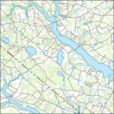
Layers of geospatial data include contours, boundaries, land cover, hydrography, roads, transportation, geographic names, structures, and other selected map features.
Types: Citation;
Tags: 7.5 x 7.5 minute,
7_5_Min,
Combined Vector,
Combined Vector,
Combined Vector,
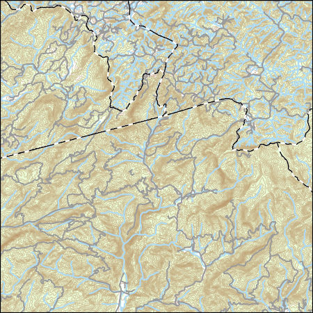
Layers of geospatial data include contours, boundaries, land cover, hydrography, roads, transportation, geographic names, structures, and other selected map features.
Types: Citation;
Tags: 7.5 x 7.5 minute,
7_5_Min,
Combined Vector,
Combined Vector,
Combined Vector,
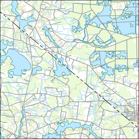
Layers of geospatial data include contours, boundaries, land cover, hydrography, roads, transportation, geographic names, structures, and other selected map features.
Types: Citation;
Tags: 7.5 x 7.5 minute,
7_5_Min,
Columbus County,
Combined Vector,
Combined Vector,
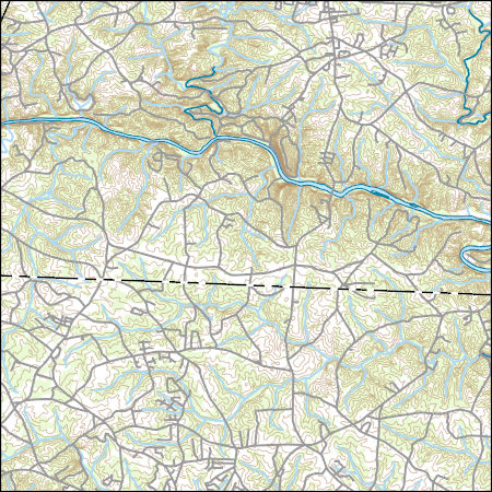
Layers of geospatial data include contours, boundaries, land cover, hydrography, roads, transportation, geographic names, structures, and other selected map features.
Types: Citation;
Tags: 7.5 x 7.5 minute,
7_5_Min,
Cherokee County,
Cleveland County,
Combined Vector,
Layers of geospatial data include contours, boundaries, land cover, hydrography, roads, transportation, geographic names, structures, and other selected map features.
Types: Citation;
Tags: 7.5 x 7.5 minute,
7_5_Min,
Brunswick County,
Combined Vector,
Combined Vector,
Coastal wetlands significantly contribute to global carbon storage potential. Sea-level rise and other climate change-induced disturbances threaten coastal wetland sustainability and carbon storage capacity. It is critical that we understand the mechanisms controlling wetland carbon loss so that we can predict and manage these resources in anticipation of climate change.
Categories: Data;
Types: Citation,
Map Service,
OGC WFS Layer,
OGC WMS Layer,
OGC WMS Service;
Tags: Georgia,
Savannah River,
Soil organic matter,
South Carolina,
USGS Science Data Catalog (SDC),
This dataset contains descriptions and analytical data (i.e., electron microprobe, X-ray diffraction, spectral reflectance, and scanning electron microprobe analyses) for expanded vermiculite samples. These data are provided for 52 samples of vermiculite attic insulation, horticultural products, aggregate, and packing materials derived from mines near Enoree, South Carolina; Libby, Montana; Louisa, Virginia; Palabora, South Africa; and Jiangsu, China collected from 2000 to 2016. Tables of electron microprobe and spectral absorption information are also included along with ascii listings of spectral reflectance for each sample. Some of these samples, particularly the ones from Libby, Montana contain bundles of elongate...
This data set represents the hazard curves for a grid of points with a spacing of 0.05 degrees in latitude and longitude. It represents the annual rate of exceedance versus 1.0-second spectral response acceleration.
Values represent mean combined groundwater withdrawals from the surficial and intermediate aquifer systems for the period 1995–2010 in the southeastern United States. Mean withdrawals were computed by multiplying the gross groundwater withdrawals for each county by a coefficient representing the proportion of total groundwater withdrawals coming from each aquifer. Coefficients for each county and water-use category were back-calculated from data published in Marella and Berndt, 2005, Water withdrawals and trends from the Floridan aquifer system in the southeastern United States, 1950–2000: U.S. Geological Survey Circular 1278, 20 p. and also from unpublished data from the U.S. Geological Survey South Atlantic Water...
Categories: Data;
Types: Citation;
Tags: Alabama,
Florida,
Floridan aquifer system,
Georgia,
South Carolina,
The titanium concentrations were obtained from a data set that is called the "National Geochemical Survey." This data set, as well as its documentation, are available in U.S. Geological Survey Open-File Report 2004-1001 (https://mrdata.usgs.gov/geochem/doc/home.htm). The titanium concentrations were measured in 3,457 samples of stream sediments from the coastal plain of the southeastern United States; this area includes parts of Virginia, North Carolina, South Carolina, Georgia, Florida, and Alabama. The samples were collected between 1975 and 1999 during several field surveys, and the concentrations were measured using inductively coupled plasma-atomic emission spectrometry.
Categories: Data;
Types: Citation,
Downloadable,
Map Service,
OGC WFS Layer,
OGC WMS Layer,
Shapefile;
Tags: Alabama,
Atlantic Coastal Plain,
CGGSC,
CMERSC,
Central Minerals and Environmental Resources Science Center,
|

|