Filters: Tags: Teton Village (X)
5 results (36ms)|
Filters
Date Range
Types Contacts
Categories Tag Types Tag Schemes |
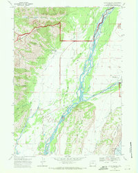
USGS Historical Quadrangle in GeoPDF.
This dataset provides supporting evidence for a method of generating geometrically accurate orthophoto mosaics of paleoseismic trenches using physical scale bars printed with coded targets. These data accompany a forthcoming study by Delano et al., 2021, Quick and dirty (and accurate) 3D paleoseismic trench models using coded scale bars. The data constrain three-dimensional models of a 46-m long, narrow trench excavation across the Teton fault (Wyoming, USA). Files include: BB_photos_nwall.zip: Photographs (n= 234) in .jpg format of the north wall of the Buffalo Bowl trench used to construct models. totalstation_control_modelpointcloud.laz: Structure-from-motion model point cloud of the Buffalo Bowl north wall,...
Categories: Data;
Types: Map Service,
OGC WFS Layer,
OGC WMS Layer,
OGC WMS Service;
Tags: Remote Sensing,
Seismology,
Stratigraphy,
Teton Village,
USGS Science Data Catalog (SDC),
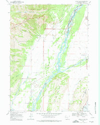
USGS Historical Quadrangle in GeoPDF.
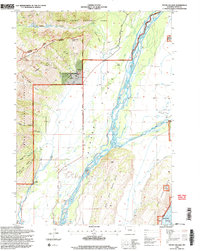
USGS Historical Quadrangle in GeoPDF.
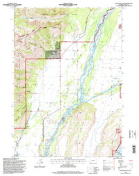
USGS Historical Quadrangle in GeoPDF.
|

|
