Filters
Contacts
(Less)
-
U.S. Geological Survey, National Geospatial Technical Operations Center
-
U.S. Geological Survey
-
Great Northern Landscape Conservation Cooperative
-
LCC Network Data Steward
-
Bureau of Land Management, Oregon State Office
-
United States Forest Service
-
OR/WA BLM
-
OR/WA State Office BLM
-
Bureau of Land Management
-
Wyoming State Historic Preservation Office
-
Wyoming Geographic Information Science Center
-
Bob Means
-
National Geospatial Program
-
Bureau of Land Managment
-
Erin Sexton
-
Oregon State Office, BLM
-
Wyoming Travel and Tourism
-
Larry Neasloney
-
Merrill Field Office, WI Water Science Center
-
National Geospatial Programs Office
-
Core Science Systems
-
Abrahamson, L.
-
Amsterdam, The Netherlands
-
Ballard, J.L.
-
Bureau of Land Management, Salem District Office
-
Cleland, J.H.
-
Crown Managers Partnership
-
Goodrich-Mahoney, J.W.
-
Larry Neasloney (GIS questions) /Tim Nowak (cultural questions)
-
State Historic and Preservation Office
-
Tikalsky, S.
|
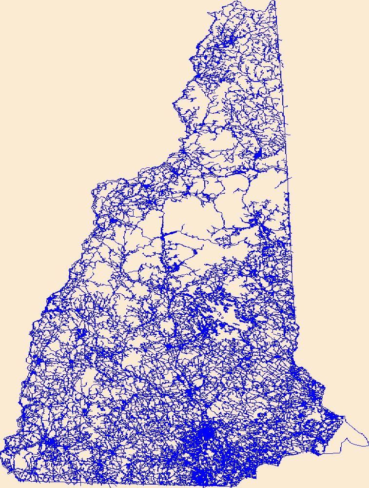
Layers of geospatial data include roads, airports, trails, and railroads.
Tags: Airport Complex,
Airport Point,
Airport Runway,
Airports,
Airstrips, All tags...
Belknap,
Carroll,
Cheshire,
Coos,
Downloadable Data,
Esri Shapefile nan,
Geographic names,
Grafton,
Hillsborough,
Merrimack,
NH,
National Transportation Dataset (NTD),
National Transportation Dataset (NTD),
New Hampshire,
Railways,
Roads,
Rockingham,
Shapefile,
State,
State,
Strafford,
Sullivan,
Trail,
Trails,
Transportation,
Transportation,
US,
United States,
Waterway,
transportation, Fewer tags
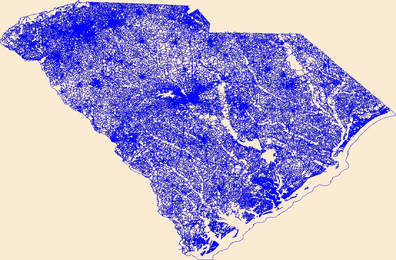
Layers of geospatial data include roads, airports, trails, and railroads.
Tags: Abbeville,
Aiken,
Airport Complex,
Airport Point,
Airport Runway, All tags...
Airports,
Airstrips,
Allendale,
Anderson,
Bamberg,
Barnwell,
Beaufort,
Berkeley,
Calhoun,
Charleston,
Cherokee,
Chester,
Chesterfield,
Clarendon,
Colleton,
Darlington,
Dillon,
Dorchester,
Downloadable Data,
Edgefield,
Esri Shapefile nan,
Fairfield,
Florence,
Geographic names,
Georgetown,
Greenville,
Greenwood,
Hampton,
Horry,
Jasper,
Kershaw,
Lancaster,
Laurens,
Lee,
Lexington,
Marion,
Marlboro,
McCormick,
National Transportation Dataset (NTD),
National Transportation Dataset (NTD),
Newberry,
Oconee,
Orangeburg,
Pickens,
Railways,
Richland,
Roads,
SC,
Saluda,
Shapefile,
South Carolina,
Spartanburg,
State,
State,
Sumter,
Trail,
Trails,
Transportation,
Transportation,
US,
Union,
United States,
Waterway,
Williamsburg,
York,
transportation, Fewer tags
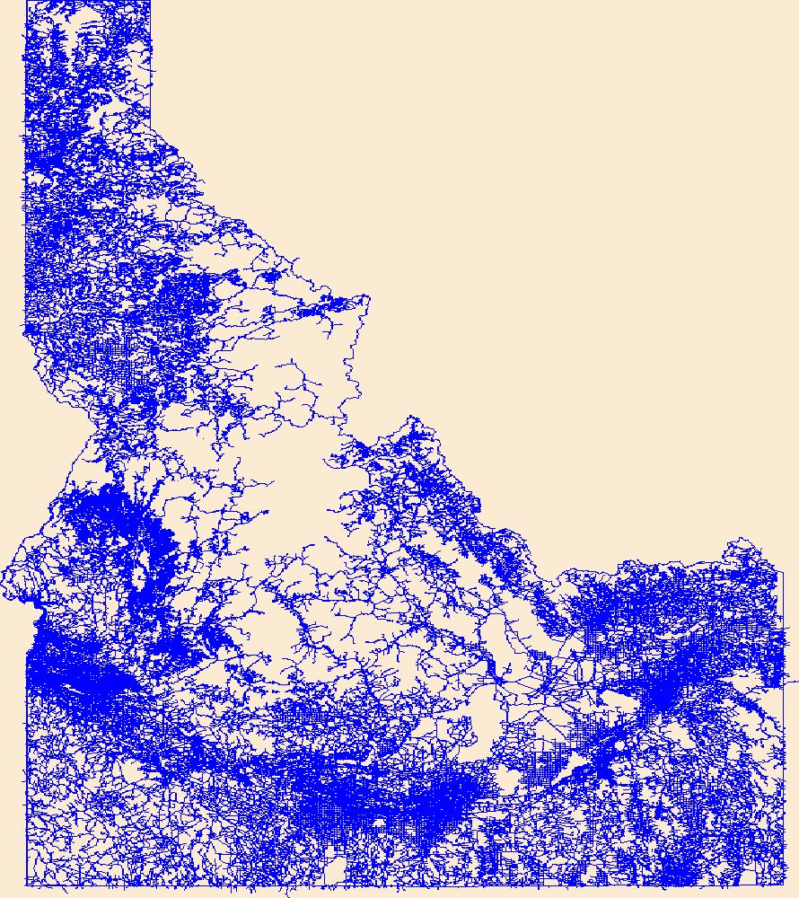
Layers of geospatial data include roads, airports, trails, and railroads.
Tags: Ada,
Adams,
Airport Complex,
Airport Point,
Airport Runway, All tags...
Airports,
Airstrips,
Bannock,
Bear Lake,
Benewah,
Bingham,
Blaine,
Boise,
Bonner,
Bonneville,
Boundary,
Butte,
Camas,
Canyon,
Caribou,
Cassia,
Clark,
Clearwater,
Custer,
Downloadable Data,
Elmore,
Esri Shapefile nan,
Franklin,
Fremont,
Gem,
Geographic names,
Gooding,
ID,
Idaho,
Idaho,
Jefferson,
Jerome,
Kootenai,
Latah,
Lemhi,
Lewis,
Lincoln,
Madison,
Minidoka,
National Transportation Dataset (NTD),
National Transportation Dataset (NTD),
Nez Perce,
Oneida,
Owyhee,
Payette,
Power,
Railways,
Roads,
Shapefile,
Shoshone,
State,
State,
Teton,
Trail,
Trails,
Transportation,
Transportation,
Twin Falls,
US,
United States,
Valley,
Washington,
Waterway,
transportation, Fewer tags
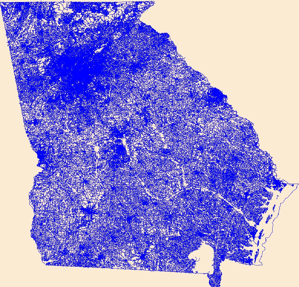
Layers of geospatial data include roads, airports, trails, and railroads.
Tags: Airport Complex,
Airport Point,
Airport Runway,
Airports,
Airstrips, All tags...
Appling,
Atkinson,
Bacon,
Baker,
Baldwin,
Banks,
Barrow,
Bartow,
Ben Hill,
Berrien,
Bibb,
Bleckley,
Brantley,
Brooks,
Bryan,
Bulloch,
Burke,
Butts,
Calhoun,
Camden,
Candler,
Carroll,
Catoosa,
Charlton,
Chatham,
Chattahoochee,
Chattooga,
Cherokee,
Clarke,
Clay,
Clayton,
Clinch,
Cobb,
Coffee,
Colquitt,
Columbia,
Cook,
Coweta,
Crawford,
Crisp,
Dade,
Dawson,
DeKalb,
Decatur,
Dodge,
Dooly,
Dougherty,
Douglas,
Downloadable Data,
Early,
Echols,
Effingham,
Elbert,
Emanuel,
Esri File GeoDatabase 10,
Evans,
Fannin,
Fayette,
FileGDB,
Floyd,
Forsyth,
Franklin,
Fulton,
GA,
Geographic names,
Georgia,
Gilmer,
Glascock,
Glynn,
Gordon,
Grady,
Greene,
Gwinnett,
Habersham,
Hall,
Hancock,
Haralson,
Harris,
Hart,
Heard,
Henry,
Houston,
Irwin,
Jackson,
Jasper,
Jeff Davis,
Jefferson,
Jenkins,
Johnson,
Jones,
Lamar,
Lanier,
Laurens,
Lee,
Liberty,
Lincoln,
Long,
Lowndes,
Lumpkin,
Macon,
Madison,
Marion,
McDuffie,
McIntosh,
Meriwether,
Miller,
Mitchell,
Monroe,
Montgomery,
Morgan,
Murray,
Muscogee,
National Transportation Dataset (NTD),
National Transportation Dataset (NTD),
Newton,
Oconee,
Oglethorpe,
Paulding,
Peach,
Pickens,
Pierce,
Pike,
Polk,
Pulaski,
Putnam,
Quitman,
Rabun,
Railways,
Randolph,
Richmond,
Roads,
Rockdale,
Schley,
Screven,
Seminole,
Spalding,
State,
State,
Stephens,
Stewart,
Sumter,
Talbot,
Taliaferro,
Tattnall,
Taylor,
Telfair,
Terrell,
Thomas,
Tift,
Toombs,
Towns,
Trail,
Trails,
Transportation,
Transportation,
Treutlen,
Troup,
Turner,
Twiggs,
US,
Union,
United States,
Upson,
Walker,
Walton,
Ware,
Warren,
Washington,
Waterway,
Wayne,
Webster,
Wheeler,
White,
Whitfield,
Wilcox,
Wilkes,
Wilkinson,
Worth,
transportation, Fewer tags
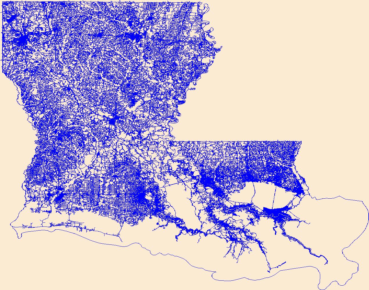
Layers of geospatial data include roads, airports, trails, and railroads.
Tags: Acadia,
Airport Complex,
Airport Point,
Airport Runway,
Airports, All tags...
Airstrips,
Allen,
Ascension,
Assumption,
Avoyelles,
Beauregard,
Bienville,
Bossier,
Caddo,
Calcasieu,
Caldwell,
Cameron,
Catahoula,
Claiborne,
Concordia,
De Soto,
Downloadable Data,
East Baton Rouge,
East Carroll,
East Feliciana,
Esri File GeoDatabase 10,
Evangeline,
FileGDB,
Franklin,
Geographic names,
Grant,
Iberia,
Iberville,
Jackson,
Jefferson,
Jefferson Davis,
LA,
LaSalle,
Lafayette,
Lafourche,
Lincoln,
Livingston,
Louisiana,
Madison,
Morehouse,
Natchitoches,
National Transportation Dataset (NTD),
National Transportation Dataset (NTD),
Orleans,
Ouachita,
Plaquemines,
Pointe Coupee,
Railways,
Rapides,
Red River,
Richland,
Roads,
Sabine,
St. Bernard,
St. Charles,
St. Helena,
St. James,
St. John the Baptist,
St. Landry,
St. Martin,
St. Mary,
St. Tammany,
State,
State,
Tangipahoa,
Tensas,
Terrebonne,
Trail,
Trails,
Transportation,
Transportation,
US,
Union,
United States,
Vermilion,
Vernon,
Washington,
Waterway,
Webster,
West Baton Rouge,
West Carroll,
West Feliciana,
Winn,
transportation, Fewer tags
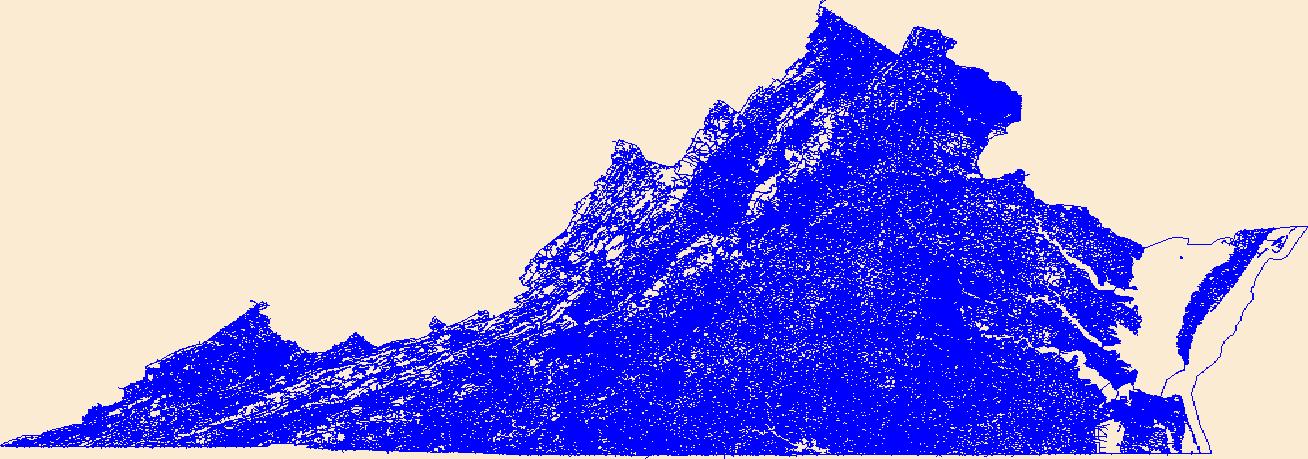
Layers of geospatial data include roads, airports, trails, and railroads.
Tags: Accomack,
Airport Complex,
Airport Point,
Airport Runway,
Airports, All tags...
Airstrips,
Albemarle,
Alexandria,
Alleghany,
Amelia,
Amherst,
Appomattox,
Arlington,
Augusta,
Bath,
Bedford,
Bland,
Botetourt,
Bristol,
Brunswick,
Buchanan,
Buckingham,
Buena Vista,
Campbell,
Caroline,
Carroll,
Charles City,
Charlotte,
Charlottesville,
Chesapeake,
Chesterfield,
Clarke,
Colonial Heights,
Covington,
Craig,
Culpeper,
Cumberland,
Danville,
Dickenson,
Dinwiddie,
Downloadable Data,
Emporia,
Esri Shapefile nan,
Essex,
Fairfax,
Falls Church,
Fauquier,
Floyd,
Fluvanna,
Franklin,
Frederick,
Fredericksburg,
Galax,
Geographic names,
Giles,
Gloucester,
Goochland,
Grayson,
Greene,
Greensville,
Halifax,
Hampton,
Hanover,
Harrisonburg,
Henrico,
Henry,
Highland,
Hopewell,
Isle of Wight,
James City,
King George,
King William,
King and Queen,
Lancaster,
Lee,
Lexington,
Loudoun,
Louisa,
Lunenburg,
Lynchburg,
Madison,
Manassas,
Manassas Park,
Martinsville,
Mathews,
Mecklenburg,
Middlesex,
Montgomery,
National Transportation Dataset (NTD),
National Transportation Dataset (NTD),
Nelson,
New Kent,
Newport News,
Norfolk,
Northampton,
Northumberland,
Norton,
Nottoway,
Orange,
Page,
Patrick,
Petersburg,
Pittsylvania,
Poquoson,
Portsmouth,
Powhatan,
Prince Edward,
Prince George,
Prince William,
Pulaski,
Radford,
Railways,
Rappahannock,
Richmond,
Roads,
Roanoke,
Rockbridge,
Rockingham,
Russell,
Salem,
Scott,
Shapefile,
Shenandoah,
Smyth,
Southampton,
Spotsylvania,
Stafford,
State,
State,
Staunton,
Suffolk,
Surry,
Sussex,
Tazewell,
Trail,
Trails,
Transportation,
Transportation,
US,
United States,
VA,
Virginia,
Virginia Beach,
Warren,
Washington,
Waterway,
Waynesboro,
Westmoreland,
Williamsburg,
Winchester,
Wise,
Wythe,
York,
transportation, Fewer tags
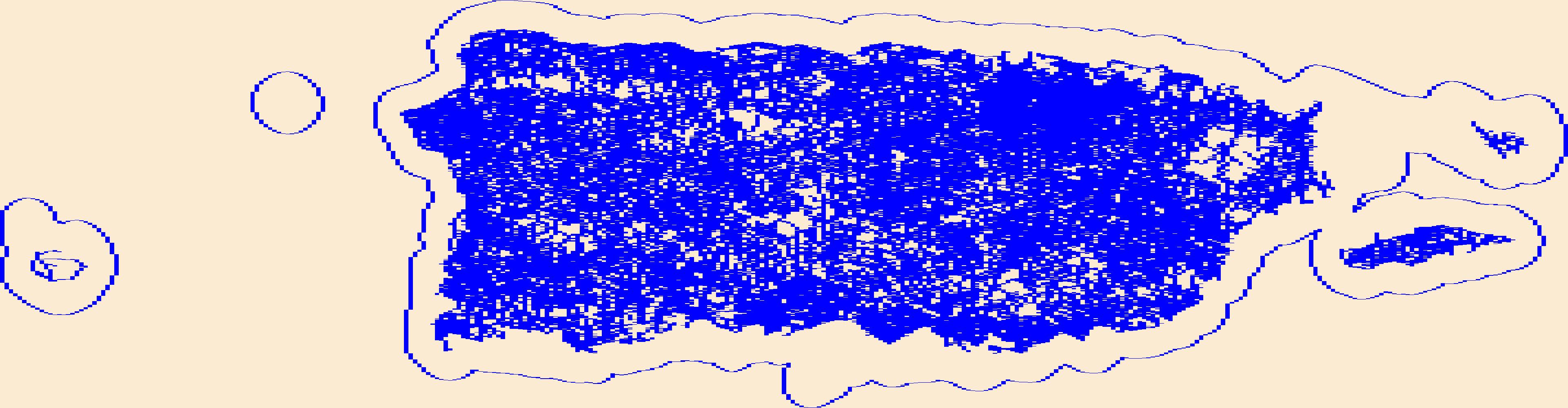
Layers of geospatial data include roads, airports, trails, and railroads.
Tags: Adjuntas,
Aguada,
Aguadilla,
Aguas Buenas,
Aibonito, All tags...
Airport Complex,
Airport Point,
Airport Runway,
Airports,
Airstrips,
Arecibo,
Arroyo,
Añasco,
Barceloneta,
Barranquitas,
Bayamón,
Cabo Rojo,
Caguas,
Camuy,
Canóvanas,
Carolina,
Cataño,
Cayey,
Ceiba,
Ciales,
Cidra,
Coamo,
Comerío,
Corozal,
Culebra,
Dorado,
Downloadable Data,
Esri Shapefile nan,
Fajardo,
Florida,
Geographic names,
Guayama,
Guayanilla,
Guaynabo,
Gurabo,
Guánica,
Hatillo,
Hormigueros,
Humacao,
Isabela,
Jayuya,
Juana Díaz,
Juncos,
Lajas,
Lares,
Las Marías,
Las Piedras,
Loíza,
Luquillo,
Manatí,
Maricao,
Maunabo,
Mayagüez,
Moca,
Morovis,
Naguabo,
Naranjito,
National Transportation Dataset (NTD),
National Transportation Dataset (NTD),
Orocovis,
PR,
Patillas,
Peñuelas,
Ponce,
Puerto Rico,
Quebradillas,
Railways,
Rincón,
Roads,
Río Grande,
Sabana Grande,
Salinas,
San Germán,
San Juan,
San Lorenzo,
San Sebastián,
Santa Isabel,
Shapefile,
State,
State,
Toa Alta,
Toa Baja,
Trail,
Trails,
Transportation,
Transportation,
Trujillo Alto,
US,
United States,
Utuado,
Vega Alta,
Vega Baja,
Vieques,
Villalba,
Waterway,
Yabucoa,
Yauco,
transportation, Fewer tags
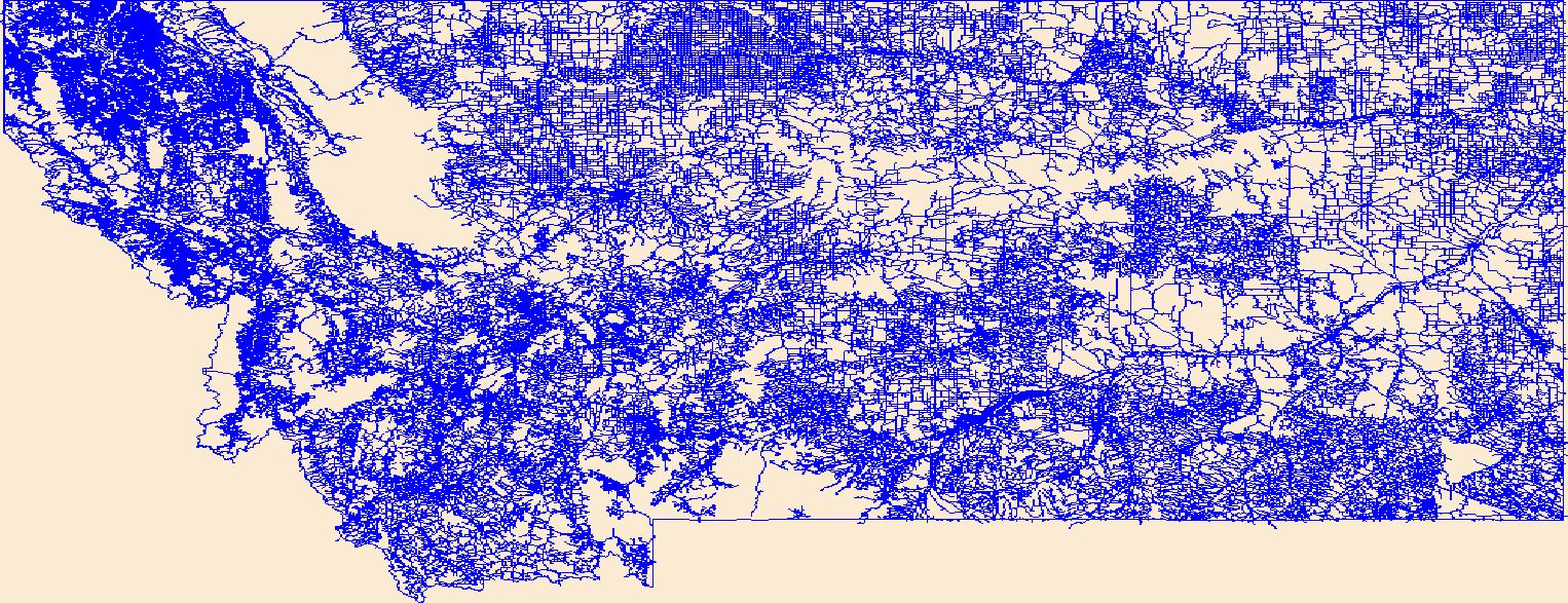
Layers of geospatial data include roads, airports, trails, and railroads.
Tags: Airport Complex,
Airport Point,
Airport Runway,
Airports,
Airstrips, All tags...
Beaverhead,
Big Horn,
Blaine,
Broadwater,
Carbon,
Carter,
Cascade,
Chouteau,
Custer,
Daniels,
Dawson,
Deer Lodge,
Downloadable Data,
Esri Shapefile nan,
Fallon,
Fergus,
Flathead,
Gallatin,
Garfield,
Geographic names,
Glacier,
Golden Valley,
Granite,
Hill,
Jefferson,
Judith Basin,
Lake,
Lewis and Clark,
Liberty,
Lincoln,
MT,
Madison,
McCone,
Meagher,
Mineral,
Missoula,
Montana,
Musselshell,
National Transportation Dataset (NTD),
National Transportation Dataset (NTD),
Park,
Petroleum,
Phillips,
Pondera,
Powder River,
Powell,
Prairie,
Railways,
Ravalli,
Richland,
Roads,
Roosevelt,
Rosebud,
Sanders,
Shapefile,
Sheridan,
Silver Bow,
State,
State,
Stillwater,
Sweet Grass,
Teton,
Toole,
Trail,
Trails,
Transportation,
Transportation,
Treasure,
US,
United States,
Valley,
Waterway,
Wheatland,
Wibaux,
Yellowstone,
transportation, Fewer tags
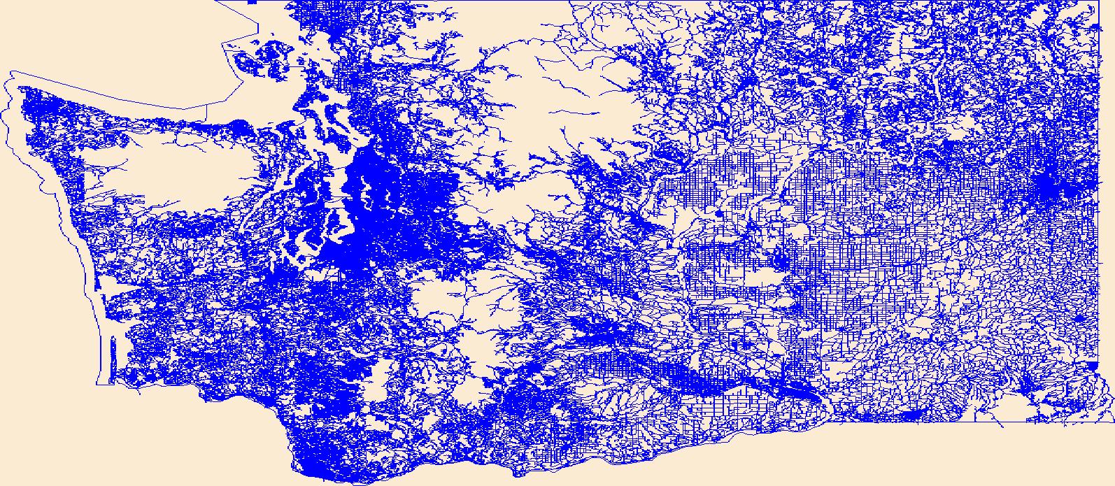
Layers of geospatial data include roads, airports, trails, and railroads.
Tags: Adams,
Airport Complex,
Airport Point,
Airport Runway,
Airports, All tags...
Airstrips,
Asotin,
Benton,
Chelan,
Clallam,
Clark,
Columbia,
Cowlitz,
Douglas,
Downloadable Data,
Esri Shapefile nan,
Ferry,
Franklin,
Garfield,
Geographic names,
Grant,
Grays Harbor,
Island,
Jefferson,
King,
Kitsap,
Kittitas,
Klickitat,
Lewis,
Lincoln,
Mason,
National Transportation Dataset (NTD),
National Transportation Dataset (NTD),
Okanogan,
Pacific,
Pend Oreille,
Pierce,
Railways,
Roads,
San Juan,
Shapefile,
Skagit,
Skamania,
Snohomish,
Spokane,
State,
State,
Stevens,
Thurston,
Trail,
Trails,
Transportation,
Transportation,
US,
United States,
WA,
Wahkiakum,
Walla Walla,
Washington,
Waterway,
Whatcom,
Whitman,
Yakima,
transportation, Fewer tags
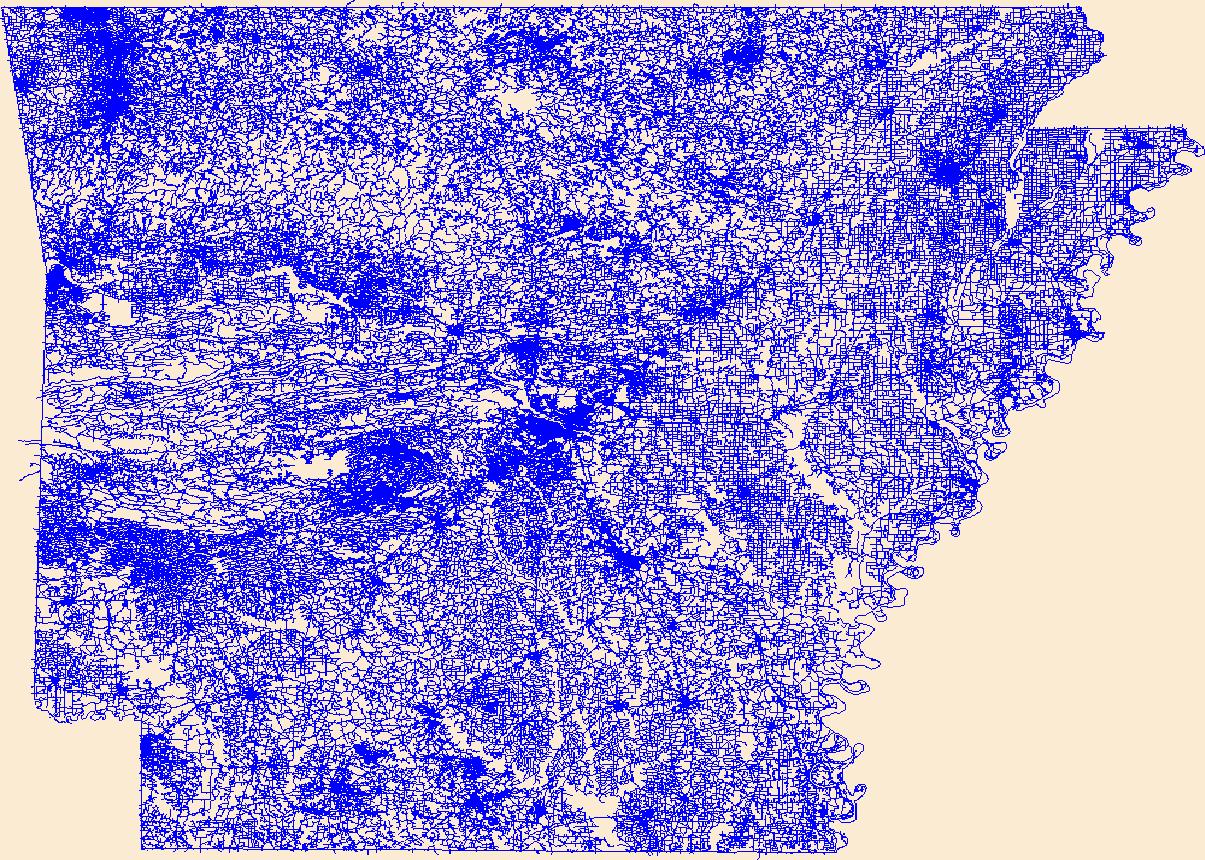
Layers of geospatial data include roads, airports, trails, and railroads.
Tags: AR,
Airport Complex,
Airport Point,
Airport Runway,
Airports, All tags...
Airstrips,
Arkansas,
Arkansas,
Ashley,
Baxter,
Benton,
Boone,
Bradley,
Calhoun,
Carroll,
Chicot,
Clark,
Clay,
Cleburne,
Cleveland,
Columbia,
Conway,
Craighead,
Crawford,
Crittenden,
Cross,
Dallas,
Desha,
Downloadable Data,
Drew,
Esri File GeoDatabase 10,
Faulkner,
FileGDB,
Franklin,
Fulton,
Garland,
Geographic names,
Grant,
Greene,
Hempstead,
Hot Spring,
Howard,
Independence,
Izard,
Jackson,
Jefferson,
Johnson,
Lafayette,
Lawrence,
Lee,
Lincoln,
Little River,
Logan,
Lonoke,
Madison,
Marion,
Miller,
Mississippi,
Monroe,
Montgomery,
National Transportation Dataset (NTD),
National Transportation Dataset (NTD),
Nevada,
Newton,
Ouachita,
Perry,
Phillips,
Pike,
Poinsett,
Polk,
Pope,
Prairie,
Pulaski,
Railways,
Randolph,
Roads,
Saline,
Scott,
Searcy,
Sebastian,
Sevier,
Sharp,
St. Francis,
State,
State,
Stone,
Trail,
Trails,
Transportation,
Transportation,
US,
Union,
United States,
Van Buren,
Washington,
Waterway,
White,
Woodruff,
Yell,
transportation, Fewer tags
Layers of geospatial data include roads, airports, trails, and railroads.
Tags: Airport Complex,
Airport Point,
Airport Runway,
Airports,
Airstrips, All tags...
Downloadable Data,
Esri Shapefile nan,
GU,
Geographic names,
Guam,
Guam,
National Transportation Dataset (NTD),
National Transportation Dataset (NTD),
Railways,
Roads,
Shapefile,
State,
State,
Trail,
Trails,
Transportation,
Transportation,
US,
United States,
Waterway,
transportation, Fewer tags
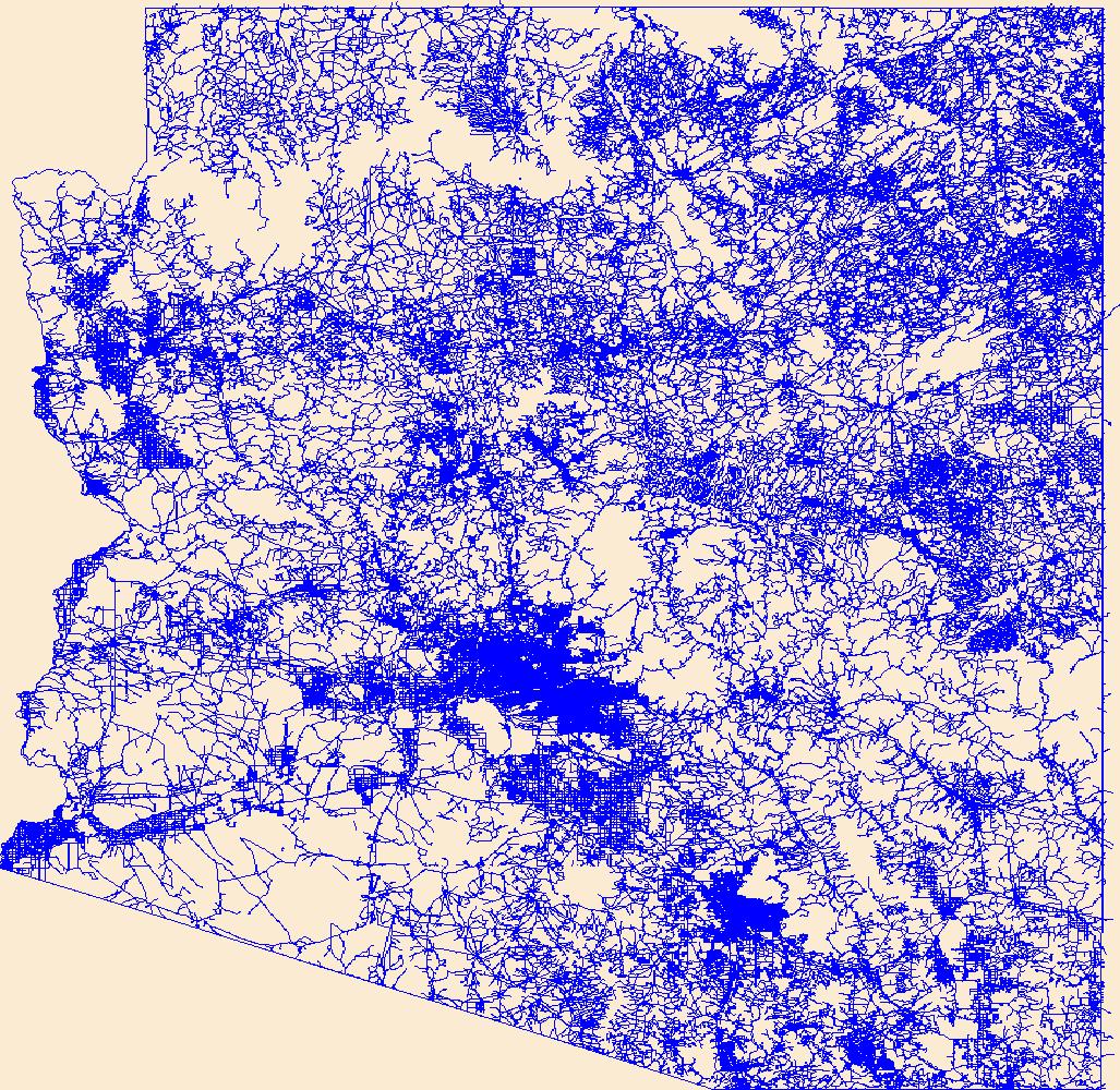
Layers of geospatial data include roads, airports, trails, and railroads.
Tags: AZ,
Airport Complex,
Airport Point,
Airport Runway,
Airports, All tags...
Airstrips,
Apache,
Arizona,
Cochise,
Coconino,
Downloadable Data,
Esri File GeoDatabase 10,
FileGDB,
Geographic names,
Gila,
Graham,
Greenlee,
La Paz,
Maricopa,
Mohave,
National Transportation Dataset (NTD),
National Transportation Dataset (NTD),
Navajo,
Pima,
Pinal,
Railways,
Roads,
Santa Cruz,
State,
State,
Trail,
Trails,
Transportation,
Transportation,
US,
United States,
Waterway,
Yavapai,
Yuma,
transportation, Fewer tags

Layers of geospatial data include roads, airports, trails, and railroads.
Tags: Adams,
Airport Complex,
Airport Point,
Airport Runway,
Airports, All tags...
Airstrips,
Asotin,
Benton,
Chelan,
Clallam,
Clark,
Columbia,
Cowlitz,
Douglas,
Downloadable Data,
Esri File GeoDatabase 10,
Ferry,
FileGDB,
Franklin,
Garfield,
Geographic names,
Grant,
Grays Harbor,
Island,
Jefferson,
King,
Kitsap,
Kittitas,
Klickitat,
Lewis,
Lincoln,
Mason,
National Transportation Dataset (NTD),
National Transportation Dataset (NTD),
Okanogan,
Pacific,
Pend Oreille,
Pierce,
Railways,
Roads,
San Juan,
Skagit,
Skamania,
Snohomish,
Spokane,
State,
State,
Stevens,
Thurston,
Trail,
Trails,
Transportation,
Transportation,
US,
United States,
WA,
Wahkiakum,
Walla Walla,
Washington,
Waterway,
Whatcom,
Whitman,
Yakima,
transportation, Fewer tags
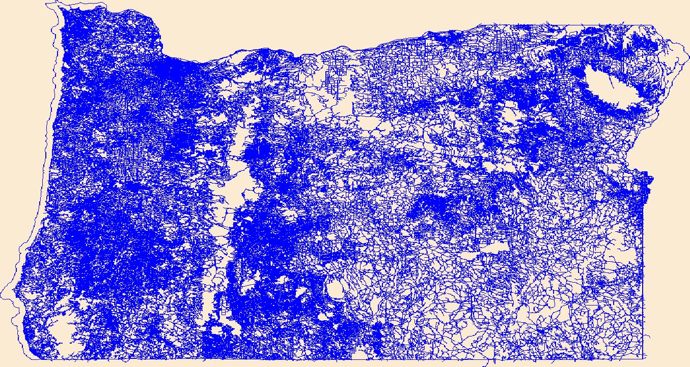
Layers of geospatial data include roads, airports, trails, and railroads.
Tags: Airport Complex,
Airport Point,
Airport Runway,
Airports,
Airstrips, All tags...
Baker,
Benton,
Clackamas,
Clatsop,
Columbia,
Coos,
Crook,
Curry,
Deschutes,
Douglas,
Downloadable Data,
Esri File GeoDatabase 10,
FileGDB,
Geographic names,
Gilliam,
Grant,
Harney,
Hood River,
Jackson,
Jefferson,
Josephine,
Klamath,
Lake,
Lane,
Lincoln,
Linn,
Malheur,
Marion,
Morrow,
Multnomah,
National Transportation Dataset (NTD),
National Transportation Dataset (NTD),
OR,
Oregon,
Polk,
Railways,
Roads,
Sherman,
State,
State,
Tillamook,
Trail,
Trails,
Transportation,
Transportation,
US,
Umatilla,
Union,
United States,
Wallowa,
Wasco,
Washington,
Waterway,
Wheeler,
Yamhill,
transportation, Fewer tags

Layers of geospatial data include roads, airports, trails, and railroads.
Tags: AS,
Airport Complex,
Airport Point,
Airport Runway,
Airports, All tags...
Airstrips,
American Samoa,
Downloadable Data,
Eastern,
Esri File GeoDatabase 10,
FileGDB,
Geographic names,
Manu'a,
National Transportation Dataset (NTD),
National Transportation Dataset (NTD),
Railways,
Roads,
Rose Island,
State,
State,
Swains Island,
Trail,
Trails,
Transportation,
Transportation,
US,
United States,
Waterway,
Western,
transportation, Fewer tags
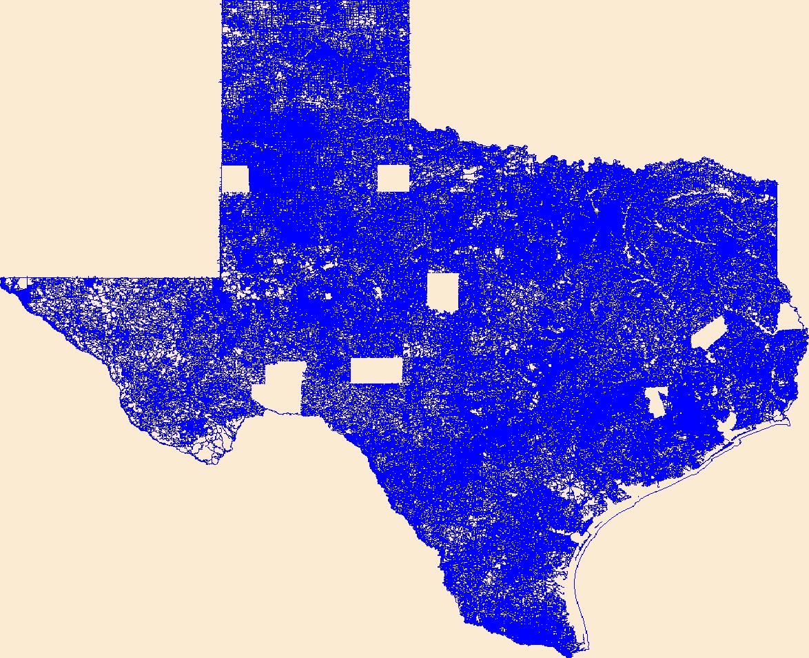
Layers of geospatial data include roads, airports, trails, and railroads.
Tags: Airport Complex,
Airport Point,
Airport Runway,
Airports,
Airstrips, All tags...
Anderson,
Andrews,
Angelina,
Aransas,
Archer,
Armstrong,
Atascosa,
Austin,
Bailey,
Bandera,
Bastrop,
Baylor,
Bee,
Bell,
Bexar,
Blanco,
Borden,
Bosque,
Bowie,
Brazoria,
Brazos,
Brewster,
Briscoe,
Brooks,
Brown,
Burleson,
Burnet,
Caldwell,
Calhoun,
Callahan,
Cameron,
Camp,
Carson,
Cass,
Castro,
Chambers,
Cherokee,
Childress,
Clay,
Cochran,
Coke,
Coleman,
Collin,
Collingsworth,
Colorado,
Comal,
Comanche,
Concho,
Cooke,
Coryell,
Cottle,
Crane,
Crockett,
Crosby,
Culberson,
Dallam,
Dallas,
Dawson,
DeWitt,
Deaf Smith,
Delta,
Denton,
Dickens,
Dimmit,
Donley,
Downloadable Data,
Duval,
Eastland,
Ector,
Edwards,
El Paso,
Ellis,
Erath,
Esri Shapefile nan,
Falls,
Fannin,
Fayette,
Fisher,
Floyd,
Foard,
Fort Bend,
Franklin,
Freestone,
Frio,
Gaines,
Galveston,
Garza,
Geographic names,
Gillespie,
Glasscock,
Goliad,
Gonzales,
Gray,
Grayson,
Gregg,
Grimes,
Guadalupe,
Hale,
Hall,
Hamilton,
Hansford,
Hardeman,
Hardin,
Harris,
Harrison,
Hartley,
Haskell,
Hays,
Hemphill,
Henderson,
Hidalgo,
Hill,
Hockley,
Hood,
Hopkins,
Houston,
Howard,
Hudspeth,
Hunt,
Hutchinson,
Irion,
Jack,
Jackson,
Jasper,
Jeff Davis,
Jefferson,
Jim Hogg,
Jim Wells,
Johnson,
Jones,
Karnes,
Kaufman,
Kendall,
Kenedy,
Kent,
Kerr,
Kimble,
King,
Kinney,
Kleberg,
Knox,
La Salle,
Lamar,
Lamb,
Lampasas,
Lavaca,
Lee,
Leon,
Liberty,
Limestone,
Lipscomb,
Live Oak,
Llano,
Loving,
Lubbock,
Lynn,
Madison,
Marion,
Martin,
Mason,
Matagorda,
Maverick,
McCulloch,
McLennan,
McMullen,
Medina,
Menard,
Midland,
Milam,
Mills,
Mitchell,
Montague,
Montgomery,
Moore,
Morris,
Motley,
Nacogdoches,
National Transportation Dataset (NTD),
National Transportation Dataset (NTD),
Navarro,
Newton,
Nolan,
Nueces,
Ochiltree,
Oldham,
Orange,
Palo Pinto,
Panola,
Parker,
Parmer,
Pecos,
Polk,
Potter,
Presidio,
Railways,
Rains,
Randall,
Reagan,
Real,
Red River,
Reeves,
Refugio,
Roads,
Roberts,
Robertson,
Rockwall,
Runnels,
Rusk,
Sabine,
San Augustine,
San Jacinto,
San Patricio,
San Saba,
Schleicher,
Scurry,
Shackelford,
Shapefile,
Shelby,
Sherman,
Smith,
Somervell,
Starr,
State,
State,
Stephens,
Sterling,
Stonewall,
Sutton,
Swisher,
TX,
Tarrant,
Taylor,
Terrell,
Terry,
Texas,
Throckmorton,
Titus,
Tom Green,
Trail,
Trails,
Transportation,
Transportation,
Travis,
Trinity,
Tyler,
US,
United States,
Upshur,
Upton,
Uvalde,
Val Verde,
Van Zandt,
Victoria,
Walker,
Waller,
Ward,
Washington,
Waterway,
Webb,
Wharton,
Wheeler,
Wichita,
Wilbarger,
Willacy,
Williamson,
Wilson,
Winkler,
Wise,
Wood,
Yoakum,
Young,
Zapata,
Zavala,
transportation, Fewer tags

This database for the Oregon, California, Mormon Pioneer, and Pony Express National Historic Trails is comprised of digital topographic data and reference line established using point data gathered with Global Positioning System (GPS) technology which represents only an approximation of the centerline of the trails system. This database, which is to be used in conjunction with ArcView software, is provided to assist the user in analyzing the visibility of any proposed location within 5 miles of the GPS reference line of the trails in order to evaluate effects to the landscape and setting of National Historic Trails in accordance with the National Historic Preservation Act and its implementing regulations at 36CFR...
Categories: Data;
Types: Downloadable;
Tags: BLM,
Federal Government,
Kemmerer Field Office,
Lander Field Office,
Wyoming, All tags...
elev,
elevation,
historic,
trails,
viewshed, Fewer tags

This feature dataset contains one polyline feature class, which includes lines that define BLM Ground Transportation Linear Features. A linear feature for ground transportation includes roads, primitive roads, primitive routes, trails, temporary routes, and linear disturbances. The Ground Transportation Linear Feature (GTLF) data standard provides a national geospatial data standard of the ground transportation linear features in BLM’s Enterprise GIS (E-GIS). A national BLM GTLF data standard is essential for collecting the landscape-scale data necessary to identify management opportunities and challenges that may not be evident when managing smaller land areas. GTLF data not only serve the crucial function of improving...
Types: Downloadable;
Tags: BLM,
Bureau of Land Management,
Disturbance,
Geospatial,
Linear, All tags...
Management,
Primitive Roads,
Primitive Routes,
Roads,
Temporary Routes,
Trails,
boundaries,
location,
planningCadastre,
transportation, Fewer tags

This data depicts infrastructure locations in Alaska as digitized primarily from 1:24,000, 1:63,360, and 1:250,000 USGS quadrangles. The source document that represented the newest information and best geographic location was used to capture the data. All infrastructure from the primary source document was digitized and then supplemented with the information from other source documents for additional or updated infrastructure or attributes.
Types: Downloadable;
Tags: Alaska Marine Highway,
BLM,
Bureau of Land Management,
DOI,
Facility, All tags...
Geospatial,
REA,
Rapid Ecoregional Assessment,
SNK 2010,
Seward Peninsula,
Trans-Alaska Pipeline,
airfields,
airports,
electrical lines,
foot trails,
forestry development roads,
gas lines,
highways,
infrastructure,
landing airstrip,
logging roads,
marine highway,
pipeline,
power lines,
railroads,
roads,
telephone lines,
tractor trails,
trails,
transmission lines,
transportation,
utilitiesCommunication,
winter trails, Fewer tags

This dataset shows the intercepts of roads and streams in the Crown of the Continent and a 50km buffer. This dataset has been produced by merging the “National Road Network (NRN) - AB, Alberta” shapefile obtained from GeoBase , Digital Road Atlas (DRA) of British Colombia from GeoBC and “Roads from the Montana Transportation Framework MSDI” for Montana, US Provided by Montana State Library. This dataset was developed by the Crown Managers Partnership, as part of a transboundary collaborative management initiative for the Crown of the Continent Ecosystem, based on commonly identified management priorities that are relevant at the landscape scale. The CMP is collaborative group of land managers, scientists, and stakeholder...
Categories: Data;
Types: Citation,
Downloadable,
Map Service,
OGC WFS Layer,
OGC WMS Layer,
Shapefile;
Tags: Alberta,
Alberta,
B.C,
B.C,
CCE, All tags...
CCE,
Data,
Data.gov Great Northern Landscape Conservation Cooperative,
EARTH SCIENCE > LAND SURFACE > LANDSCAPE,
Federal resource managers,
LCC Network Science Catalog,
MSDI,
MSDI,
Montana,
Montana,
Montana Spatial Data Infrastructure,
Montana Spatial Data Infrastructure,
Regional & county planners,
State agencies,
The Crown of Continent Ecosystem,
The Crown of Continent Ecosystem,
address range,
address range,
address ranges,
address ranges,
addresses,
addresses,
bridge,
bridge,
bridges,
bridges,
completed,
environment,
highway,
highway,
railroad,
railroad,
railroads,
railroads,
roads,
roads,
street,
street,
streets,
streets,
trail,
trail,
trails,
trails,
transportation,
transportation, Fewer tags
|
|

