Filters
Contacts
(Less)
-
U.S. Geological Survey, National Geospatial Technical Operations Center
-
U.S. Geological Survey
-
Great Northern Landscape Conservation Cooperative
-
LCC Network Data Steward
-
Bureau of Land Management, Oregon State Office
-
United States Forest Service
-
OR/WA BLM
-
OR/WA State Office BLM
-
Bureau of Land Management
-
Wyoming State Historic Preservation Office
-
Wyoming Geographic Information Science Center
-
Bob Means
-
National Geospatial Program
-
Bureau of Land Managment
-
Erin Sexton
-
Oregon State Office, BLM
-
Wyoming Travel and Tourism
-
Larry Neasloney
-
Merrill Field Office, WI Water Science Center
-
National Geospatial Programs Office
-
Core Science Systems
-
Abrahamson, L.
-
Amsterdam, The Netherlands
-
Ballard, J.L.
-
Bureau of Land Management, Salem District Office
-
Cleland, J.H.
-
Crown Managers Partnership
-
Goodrich-Mahoney, J.W.
-
Larry Neasloney (GIS questions) /Tim Nowak (cultural questions)
-
State Historic and Preservation Office
-
Tikalsky, S.
|

This dataset shows the density of the intercepts of roads and streams in the Crown of the Continent and a 50km buffer. This dataset has been produced by merging the “National Road Network (NRN) - AB, Alberta” shapefile obtained from GeoBase , Digital Road Atlas (DRA) of British Colombia from GeoBC and “Roads from the Montana Transportation Framework MSDI” for Montana, US Provided by Montana State Library. This dataset was developed by the Crown Managers Partnership, as part of a transboundary collaborative management initiative for the Crown of the Continent Ecosystem, based on commonly identified management priorities that are relevant at the landscape scale. The CMP is collaborative group of land managers, scientists,...
Categories: Data;
Types: Citation,
Downloadable,
Map Service,
OGC WFS Layer,
OGC WMS Layer,
Shapefile;
Tags: Alberta,
Alberta,
B.C,
B.C,
CCE, All tags...
CCE,
Data,
Data.gov Great Northern Landscape Conservation Cooperative,
EARTH SCIENCE > LAND SURFACE > LANDSCAPE,
Federal resource managers,
LCC Network Science Catalog,
MSDI,
MSDI,
Montana,
Montana,
Montana Spatial Data Infrastructure,
Montana Spatial Data Infrastructure,
Regional & county planners,
State agencies,
The Crown of Continent Ecosystem,
The Crown of Continent Ecosystem,
address range,
address range,
address ranges,
address ranges,
addresses,
addresses,
bridge,
bridge,
bridges,
bridges,
completed,
environment,
highway,
highway,
railroad,
railroad,
railroads,
railroads,
roads,
roads,
street,
street,
streets,
streets,
trail,
trail,
trails,
trails,
transportation,
transportation, Fewer tags
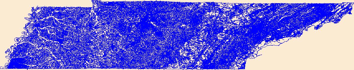
Layers of geospatial data include roads, airports, trails, and railroads.
Tags: Airport Complex,
Airport Point,
Airport Runway,
Airports,
Airstrips, All tags...
Anderson,
Bedford,
Benton,
Bledsoe,
Blount,
Bradley,
Campbell,
Cannon,
Carroll,
Carter,
Cheatham,
Chester,
Claiborne,
Clay,
Cocke,
Coffee,
Crockett,
Cumberland,
Davidson,
DeKalb,
Decatur,
Dickson,
Downloadable Data,
Dyer,
Fayette,
Fentress,
Franklin,
GeoPackage,
Geographic names,
Gibson,
Giles,
Grainger,
Greene,
Grundy,
Hamblen,
Hamilton,
Hancock,
Hardeman,
Hardin,
Hawkins,
Haywood,
Henderson,
Henry,
Hickman,
Houston,
Humphreys,
Jackson,
Jefferson,
Johnson,
Knox,
Lake,
Lauderdale,
Lawrence,
Lewis,
Lincoln,
Loudon,
Macon,
Madison,
Marion,
Marshall,
Maury,
McMinn,
McNairy,
Meigs,
Monroe,
Montgomery,
Moore,
Morgan,
National Transportation Dataset (NTD),
National Transportation Dataset (NTD),
Obion,
Open Geospatial Consortium GeoPackage 1.2,
Overton,
Perry,
Pickett,
Polk,
Putnam,
Railways,
Rhea,
Roads,
Roane,
Robertson,
Rutherford,
Scott,
Sequatchie,
Sevier,
Shelby,
Smith,
State,
State,
Stewart,
Sullivan,
Sumner,
TN,
Tennessee,
Tipton,
Trail,
Trails,
Transportation,
Transportation,
Trousdale,
US,
Unicoi,
Union,
United States,
Van Buren,
Warren,
Washington,
Waterway,
Wayne,
Weakley,
White,
Williamson,
Wilson,
transportation, Fewer tags
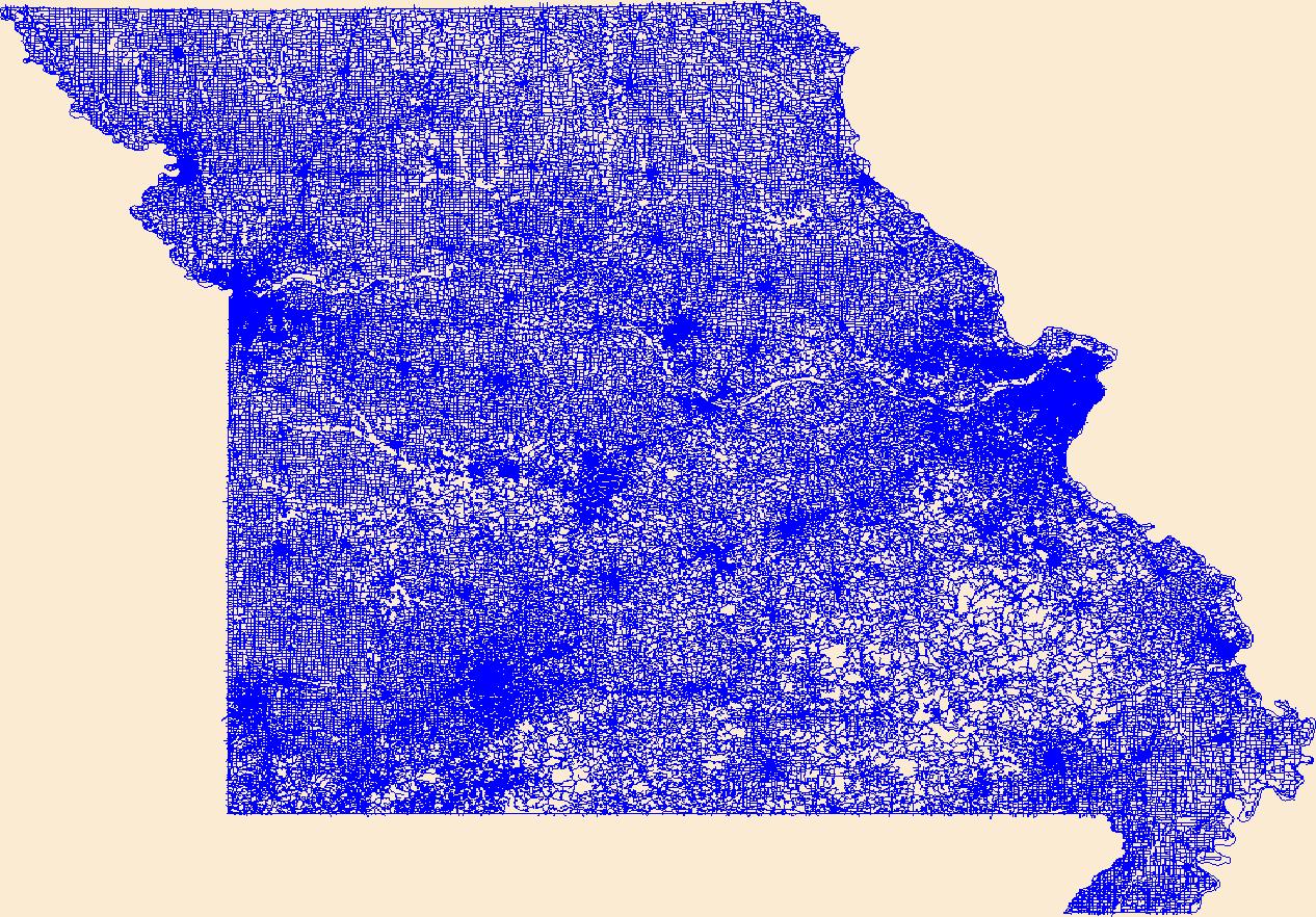
Layers of geospatial data include roads, airports, trails, and railroads.
Tags: Adair,
Airport Complex,
Airport Point,
Airport Runway,
Airports, All tags...
Airstrips,
Andrew,
Atchison,
Audrain,
Barry,
Barton,
Bates,
Benton,
Bollinger,
Boone,
Buchanan,
Butler,
Caldwell,
Callaway,
Camden,
Cape Girardeau,
Carroll,
Carter,
Cass,
Cedar,
Chariton,
Christian,
Clark,
Clay,
Clinton,
Cole,
Cooper,
Crawford,
Dade,
Dallas,
Daviess,
DeKalb,
Dent,
Douglas,
Downloadable Data,
Dunklin,
Franklin,
Gasconade,
Gentry,
GeoPackage,
Geographic names,
Greene,
Grundy,
Harrison,
Henry,
Hickory,
Holt,
Howard,
Howell,
Iron,
Jackson,
Jasper,
Jefferson,
Johnson,
Knox,
Laclede,
Lafayette,
Lawrence,
Lewis,
Lincoln,
Linn,
Livingston,
MO,
Macon,
Madison,
Maries,
Marion,
McDonald,
Mercer,
Miller,
Mississippi,
Missouri,
Moniteau,
Monroe,
Montgomery,
Morgan,
National Transportation Dataset (NTD),
National Transportation Dataset (NTD),
New Madrid,
Newton,
Nodaway,
Open Geospatial Consortium GeoPackage 1.2,
Oregon,
Osage,
Ozark,
Pemiscot,
Perry,
Pettis,
Phelps,
Pike,
Platte,
Polk,
Pulaski,
Putnam,
Railways,
Ralls,
Randolph,
Ray,
Reynolds,
Ripley,
Roads,
Saline,
Schuyler,
Scotland,
Scott,
Shannon,
Shelby,
St. Charles,
St. Clair,
St. Francois,
St. Louis,
State,
State,
Ste. Genevieve,
Stoddard,
Stone,
Sullivan,
Taney,
Texas,
Trail,
Trails,
Transportation,
Transportation,
US,
United States,
Vernon,
Warren,
Washington,
Waterway,
Wayne,
Webster,
Worth,
Wright,
transportation, Fewer tags
Layers of geospatial data include roads, airports, trails, and railroads.
Tags: Adams,
Airport Complex,
Airport Point,
Airport Runway,
Airports, All tags...
Airstrips,
Allegheny,
Armstrong,
Beaver,
Bedford,
Berks,
Blair,
Bradford,
Bucks,
Butler,
Cambria,
Cameron,
Carbon,
Centre,
Chester,
Clarion,
Clearfield,
Clinton,
Columbia,
Crawford,
Cumberland,
Dauphin,
Delaware,
Downloadable Data,
Elk,
Erie,
Fayette,
Forest,
Franklin,
Fulton,
GeoPackage,
Geographic names,
Greene,
Huntingdon,
Indiana,
Jefferson,
Juniata,
Lackawanna,
Lancaster,
Lawrence,
Lebanon,
Lehigh,
Luzerne,
Lycoming,
McKean,
Mercer,
Mifflin,
Monroe,
Montgomery,
Montour,
National Transportation Dataset (NTD),
National Transportation Dataset (NTD),
Northampton,
Northumberland,
Open Geospatial Consortium GeoPackage 1.2,
PA,
Pennsylvania,
Perry,
Philadelphia,
Pike,
Potter,
Railways,
Roads,
Schuylkill,
Snyder,
Somerset,
State,
State,
Sullivan,
Susquehanna,
Tioga,
Trail,
Trails,
Transportation,
Transportation,
US,
Union,
United States,
Venango,
Warren,
Washington,
Waterway,
Wayne,
Westmoreland,
Wyoming,
York,
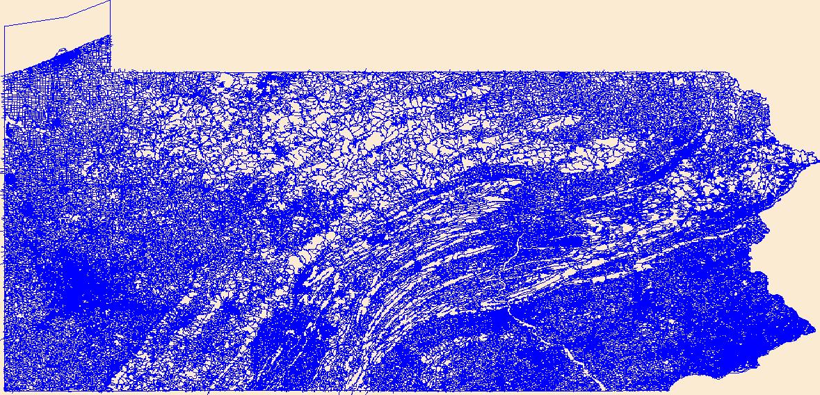
transportation, Fewer tags
Layers of geospatial data include roads, airports, trails, and railroads.
Tags: Airport Complex,
Airport Point,
Airport Runway,
Airports,
Airstrips, All tags...
Bernalillo,
Catron,
Chaves,
Cibola,
Colfax,
Curry,
De Baca,
Downloadable Data,
Doña Ana,
Eddy,
GeoPackage,
Geographic names,
Grant,
Guadalupe,
Harding,
Hidalgo,
Lea,
Lincoln,
Los Alamos,
Luna,
McKinley,
Mora,
NM,
National Transportation Dataset (NTD),
National Transportation Dataset (NTD),
New Mexico,
Open Geospatial Consortium GeoPackage 1.2,
Otero,
Quay,
Railways,
Rio Arriba,
Roads,
Roosevelt,
San Juan,
San Miguel,
Sandoval,
Santa Fe,
Sierra,
Socorro,
State,
State,
Taos,
Torrance,
Trail,
Trails,
Transportation,
Transportation,
US,
Union,
United States,
Valencia,
Waterway,
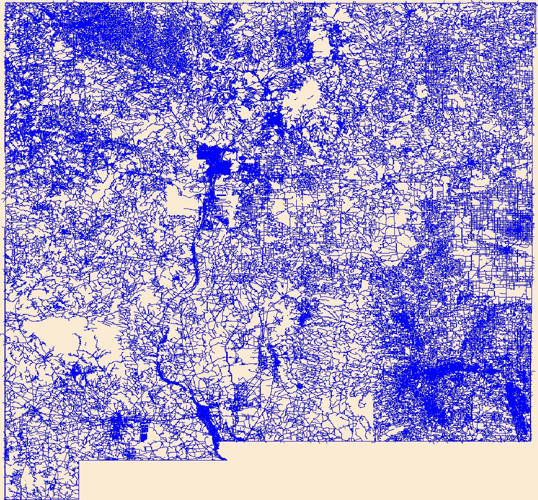
transportation, Fewer tags
Layers of geospatial data include roads, airports, trails, and railroads.
Tags: Airport Complex,
Airport Point,
Airport Runway,
Airports,
Airstrips, All tags...
Downloadable Data,
GeoPackage,
Geographic names,
HI,
Hawaii,
Hawaii,
Honolulu,
Kalawao,
Kauai,
Maui,
National Transportation Dataset (NTD),
National Transportation Dataset (NTD),
Open Geospatial Consortium GeoPackage 1.2,
Railways,
Roads,
State,
State,
Trail,
Trails,
Transportation,
Transportation,
US,
United States,
Waterway,
transportation, Fewer tags
The information presented below serves as an agreement for the users of the Idaho Department of Parks and Recreation’s Trail Mapping Interface Program. This agreement can be changed whenever necessary. In this case, the agreement becomes valid as soon as it is posted on this Website. This interactive map is for information purposes only. The Idaho Department of Parks and Recreation (IDPR) gathered the road and trail information for this map from the United States Forest Service (USFS) and the Bureau of Land Management (Idaho State Office). No warranty is m The information presented below serves as an agreement for the users of the Idaho Department of Parks and Recreation’s Trail Mapping Interface Program....

Layers of geospatial data include roads, airports, trails, and railroads.
Tags: AK,
Airport Complex,
Airport Point,
Airport Runway,
Airports, All tags...
Airstrips,
Alaska,
Aleutians East,
Aleutians West,
Anchorage,
Bethel,
Bristol Bay,
Chugach,
Copper River,
Denali,
Dillingham,
Downloadable Data,
Esri File GeoDatabase 10,
Fairbanks North Star,
FileGDB,
Geographic names,
Haines,
Hoonah-Angoon,
Juneau,
Kenai Peninsula,
Ketchikan Gateway,
Kodiak Island,
Kusilvak,
Lake and Peninsula,
Matanuska-Susitna,
National Transportation Dataset (NTD),
National Transportation Dataset (NTD),
Nome,
North Slope,
Northwest Arctic,
Petersburg,
Prince of Wales-Hyder,
Railways,
Roads,
Sitka,
Skagway,
Southeast Fairbanks,
State,
State,
Trail,
Trails,
Transportation,
Transportation,
US,
United States,
Waterway,
Wrangell,
Yakutat,
Yukon-Koyukuk,
transportation, Fewer tags

Layers of geospatial data include roads, airports, trails, and railroads.
Tags: Adair,
Airport Complex,
Airport Point,
Airport Runway,
Airports, All tags...
Airstrips,
Andrew,
Atchison,
Audrain,
Barry,
Barton,
Bates,
Benton,
Bollinger,
Boone,
Buchanan,
Butler,
Caldwell,
Callaway,
Camden,
Cape Girardeau,
Carroll,
Carter,
Cass,
Cedar,
Chariton,
Christian,
Clark,
Clay,
Clinton,
Cole,
Cooper,
Crawford,
Dade,
Dallas,
Daviess,
DeKalb,
Dent,
Douglas,
Downloadable Data,
Dunklin,
Esri File GeoDatabase 10,
FileGDB,
Franklin,
Gasconade,
Gentry,
Geographic names,
Greene,
Grundy,
Harrison,
Henry,
Hickory,
Holt,
Howard,
Howell,
Iron,
Jackson,
Jasper,
Jefferson,
Johnson,
Knox,
Laclede,
Lafayette,
Lawrence,
Lewis,
Lincoln,
Linn,
Livingston,
MO,
Macon,
Madison,
Maries,
Marion,
McDonald,
Mercer,
Miller,
Mississippi,
Missouri,
Moniteau,
Monroe,
Montgomery,
Morgan,
National Transportation Dataset (NTD),
National Transportation Dataset (NTD),
New Madrid,
Newton,
Nodaway,
Oregon,
Osage,
Ozark,
Pemiscot,
Perry,
Pettis,
Phelps,
Pike,
Platte,
Polk,
Pulaski,
Putnam,
Railways,
Ralls,
Randolph,
Ray,
Reynolds,
Ripley,
Roads,
Saline,
Schuyler,
Scotland,
Scott,
Shannon,
Shelby,
St. Charles,
St. Clair,
St. Francois,
St. Louis,
State,
State,
Ste. Genevieve,
Stoddard,
Stone,
Sullivan,
Taney,
Texas,
Trail,
Trails,
Transportation,
Transportation,
US,
United States,
Vernon,
Warren,
Washington,
Waterway,
Wayne,
Webster,
Worth,
Wright,
transportation, Fewer tags
Layers of geospatial data include roads, airports, trails, and railroads.
Tags: Airport Complex,
Airport Point,
Airport Runway,
Airports,
Airstrips, All tags...
Allen,
Anderson,
Atchison,
Barber,
Barton,
Bourbon,
Brown,
Butler,
Chase,
Chautauqua,
Cherokee,
Cheyenne,
Clark,
Clay,
Cloud,
Coffey,
Comanche,
Cowley,
Crawford,
Decatur,
Dickinson,
Doniphan,
Douglas,
Downloadable Data,
Edwards,
Elk,
Ellis,
Ellsworth,
Esri File GeoDatabase 10,
FileGDB,
Finney,
Ford,
Franklin,
Geary,
Geographic names,
Gove,
Graham,
Grant,
Gray,
Greeley,
Greenwood,
Hamilton,
Harper,
Harvey,
Haskell,
Hodgeman,
Jackson,
Jefferson,
Jewell,
Johnson,
KS,
Kansas,
Kearny,
Kingman,
Kiowa,
Labette,
Lane,
Leavenworth,
Lincoln,
Linn,
Logan,
Lyon,
Marion,
Marshall,
McPherson,
Meade,
Miami,
Mitchell,
Montgomery,
Morris,
Morton,
National Transportation Dataset (NTD),
National Transportation Dataset (NTD),
Nemaha,
Neosho,
Ness,
Norton,
Osage,
Osborne,
Ottawa,
Pawnee,
Phillips,
Pottawatomie,
Pratt,
Railways,
Rawlins,
Reno,
Republic,
Rice,
Riley,
Roads,
Rooks,
Rush,
Russell,
Saline,
Scott,
Sedgwick,
Seward,
Shawnee,
Sheridan,
Sherman,
Smith,
Stafford,
Stanton,
State,
State,
Stevens,
Sumner,
Thomas,
Trail,
Trails,
Transportation,
Transportation,
Trego,
US,
United States,
Wabaunsee,
Wallace,
Washington,
Waterway,
Wichita,
Wilson,
Woodson,
Wyandotte,
transportation, Fewer tags
Layers of geospatial data include roads, airports, trails, and railroads.
Tags: Airport Complex,
Airport Point,
Airport Runway,
Airports,
Airstrips, All tags...
Alamance,
Alexander,
Alleghany,
Anson,
Ashe,
Avery,
Beaufort,
Bertie,
Bladen,
Brunswick,
Buncombe,
Burke,
Cabarrus,
Caldwell,
Camden,
Carteret,
Caswell,
Catawba,
Chatham,
Cherokee,
Chowan,
Clay,
Cleveland,
Columbus,
Craven,
Cumberland,
Currituck,
Dare,
Davidson,
Davie,
Downloadable Data,
Duplin,
Durham,
Edgecombe,
Esri File GeoDatabase 10,
FileGDB,
Forsyth,
Franklin,
Gaston,
Gates,
Geographic names,
Graham,
Granville,
Greene,
Guilford,
Halifax,
Harnett,
Haywood,
Henderson,
Hertford,
Hoke,
Hyde,
Iredell,
Jackson,
Johnston,
Jones,
Lee,
Lenoir,
Lincoln,
Macon,
Madison,
Martin,
McDowell,
Mecklenburg,
Mitchell,
Montgomery,
Moore,
NC,
Nash,
National Transportation Dataset (NTD),
National Transportation Dataset (NTD),
New Hanover,
North Carolina,
Northampton,
Onslow,
Orange,
Pamlico,
Pasquotank,
Pender,
Perquimans,
Person,
Pitt,
Polk,
Railways,
Randolph,
Richmond,
Roads,
Robeson,
Rockingham,
Rowan,
Rutherford,
Sampson,
Scotland,
Stanly,
State,
State,
Stokes,
Surry,
Swain,
Trail,
Trails,
Transportation,
Transportation,
Transylvania,
Tyrrell,
US,
Union,
United States,
Vance,
Wake,
Warren,
Washington,
Watauga,
Waterway,
Wayne,
Wilkes,
Wilson,
Yadkin,
Yancey,
transportation, Fewer tags
Layers of geospatial data include roads, airports, trails, and railroads.
Tags: Airport Complex,
Airport Point,
Airport Runway,
Airports,
Airstrips, All tags...
DE,
Delaware,
Downloadable Data,
Esri File GeoDatabase 10,
FileGDB,
Geographic names,
Kent,
National Transportation Dataset (NTD),
National Transportation Dataset (NTD),
New Castle,
Railways,
Roads,
State,
State,
Sussex,
Trail,
Trails,
Transportation,
Transportation,
US,
United States,
Waterway,
transportation, Fewer tags
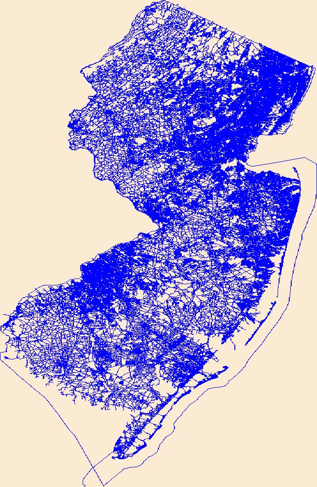
Layers of geospatial data include roads, airports, trails, and railroads.
Tags: Airport Complex,
Airport Point,
Airport Runway,
Airports,
Airstrips, All tags...
Atlantic,
Bergen,
Burlington,
Camden,
Cape May,
Cumberland,
Downloadable Data,
Esri File GeoDatabase 10,
Essex,
FileGDB,
Geographic names,
Gloucester,
Hudson,
Hunterdon,
Mercer,
Middlesex,
Monmouth,
Morris,
NJ,
National Transportation Dataset (NTD),
National Transportation Dataset (NTD),
New Jersey,
Ocean,
Passaic,
Railways,
Roads,
Salem,
Somerset,
State,
State,
Sussex,
Trail,
Trails,
Transportation,
Transportation,
US,
Union,
United States,
Warren,
Waterway,
transportation, Fewer tags
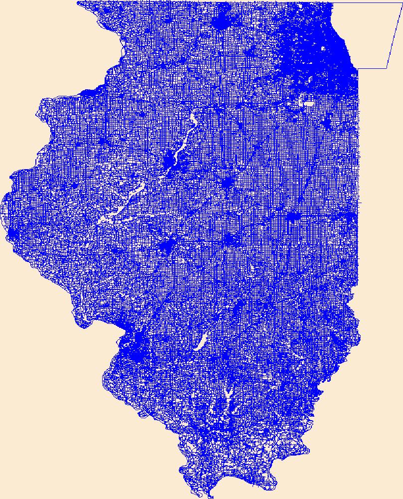
Layers of geospatial data include roads, airports, trails, and railroads.
Tags: Adams,
Airport Complex,
Airport Point,
Airport Runway,
Airports, All tags...
Airstrips,
Alexander,
Bond,
Boone,
Brown,
Bureau,
Calhoun,
Carroll,
Cass,
Champaign,
Christian,
Clark,
Clay,
Clinton,
Coles,
Cook,
Crawford,
Cumberland,
De Witt,
DeKalb,
Douglas,
Downloadable Data,
DuPage,
Edgar,
Edwards,
Effingham,
Esri Shapefile nan,
Fayette,
Ford,
Franklin,
Fulton,
Gallatin,
Geographic names,
Greene,
Grundy,
Hamilton,
Hancock,
Hardin,
Henderson,
Henry,
IL,
Illinois,
Iroquois,
Jackson,
Jasper,
Jefferson,
Jersey,
Jo Daviess,
Johnson,
Kane,
Kankakee,
Kendall,
Knox,
LaSalle,
Lake,
Lawrence,
Lee,
Livingston,
Logan,
Macon,
Macoupin,
Madison,
Marion,
Marshall,
Mason,
Massac,
McDonough,
McHenry,
McLean,
Menard,
Mercer,
Monroe,
Montgomery,
Morgan,
Moultrie,
National Transportation Dataset (NTD),
National Transportation Dataset (NTD),
Ogle,
Peoria,
Perry,
Piatt,
Pike,
Pope,
Pulaski,
Putnam,
Railways,
Randolph,
Richland,
Roads,
Rock Island,
Saline,
Sangamon,
Schuyler,
Scott,
Shapefile,
Shelby,
St. Clair,
Stark,
State,
State,
Stephenson,
Tazewell,
Trail,
Trails,
Transportation,
Transportation,
US,
Union,
United States,
Vermilion,
Wabash,
Warren,
Washington,
Waterway,
Wayne,
White,
Whiteside,
Will,
Williamson,
Winnebago,
Woodford,
transportation, Fewer tags
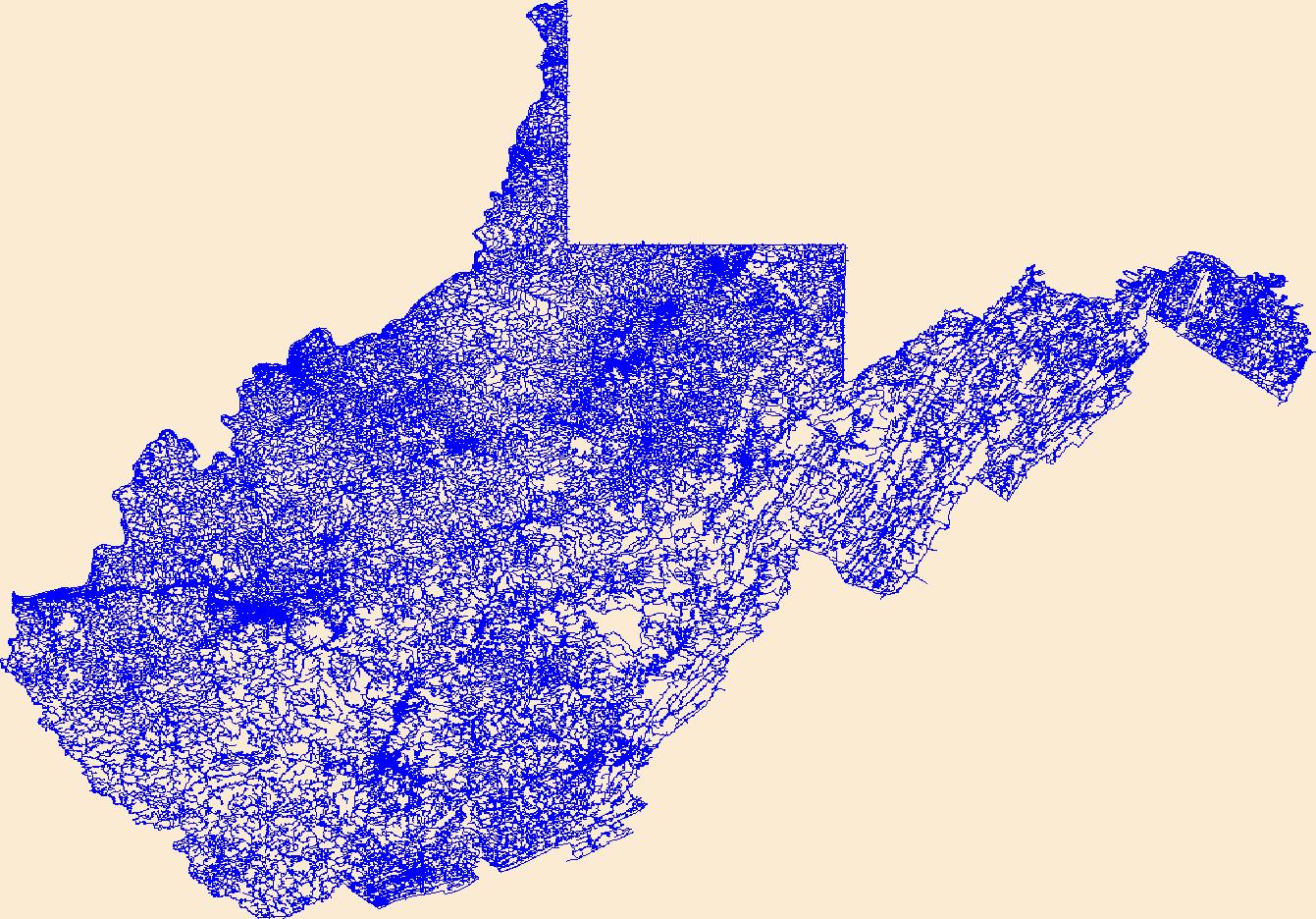
Layers of geospatial data include roads, airports, trails, and railroads.
Tags: Airport Complex,
Airport Point,
Airport Runway,
Airports,
Airstrips, All tags...
Barbour,
Berkeley,
Boone,
Braxton,
Brooke,
Cabell,
Calhoun,
Clay,
Doddridge,
Downloadable Data,
Esri Shapefile nan,
Fayette,
Geographic names,
Gilmer,
Grant,
Greenbrier,
Hampshire,
Hancock,
Hardy,
Harrison,
Jackson,
Jefferson,
Kanawha,
Lewis,
Lincoln,
Logan,
Marion,
Marshall,
Mason,
McDowell,
Mercer,
Mineral,
Mingo,
Monongalia,
Monroe,
Morgan,
National Transportation Dataset (NTD),
National Transportation Dataset (NTD),
Nicholas,
Ohio,
Pendleton,
Pleasants,
Pocahontas,
Preston,
Putnam,
Railways,
Raleigh,
Randolph,
Ritchie,
Roads,
Roane,
Shapefile,
State,
State,
Summers,
Taylor,
Trail,
Trails,
Transportation,
Transportation,
Tucker,
Tyler,
US,
United States,
Upshur,
WV,
Waterway,
Wayne,
Webster,
West Virginia,
Wetzel,
Wirt,
Wood,
Wyoming,
transportation, Fewer tags

Layers of geospatial data include roads, airports, trails, and railroads.
Tags: Airport Complex,
Airport Point,
Airport Runway,
Airports,
Airstrips, All tags...
Anderson,
Bedford,
Benton,
Bledsoe,
Blount,
Bradley,
Campbell,
Cannon,
Carroll,
Carter,
Cheatham,
Chester,
Claiborne,
Clay,
Cocke,
Coffee,
Crockett,
Cumberland,
Davidson,
DeKalb,
Decatur,
Dickson,
Downloadable Data,
Dyer,
Esri Shapefile nan,
Fayette,
Fentress,
Franklin,
Geographic names,
Gibson,
Giles,
Grainger,
Greene,
Grundy,
Hamblen,
Hamilton,
Hancock,
Hardeman,
Hardin,
Hawkins,
Haywood,
Henderson,
Henry,
Hickman,
Houston,
Humphreys,
Jackson,
Jefferson,
Johnson,
Knox,
Lake,
Lauderdale,
Lawrence,
Lewis,
Lincoln,
Loudon,
Macon,
Madison,
Marion,
Marshall,
Maury,
McMinn,
McNairy,
Meigs,
Monroe,
Montgomery,
Moore,
Morgan,
National Transportation Dataset (NTD),
National Transportation Dataset (NTD),
Obion,
Overton,
Perry,
Pickett,
Polk,
Putnam,
Railways,
Rhea,
Roads,
Roane,
Robertson,
Rutherford,
Scott,
Sequatchie,
Sevier,
Shapefile,
Shelby,
Smith,
State,
State,
Stewart,
Sullivan,
Sumner,
TN,
Tennessee,
Tipton,
Trail,
Trails,
Transportation,
Transportation,
Trousdale,
US,
Unicoi,
Union,
United States,
Van Buren,
Warren,
Washington,
Waterway,
Wayne,
Weakley,
White,
Williamson,
Wilson,
transportation, Fewer tags
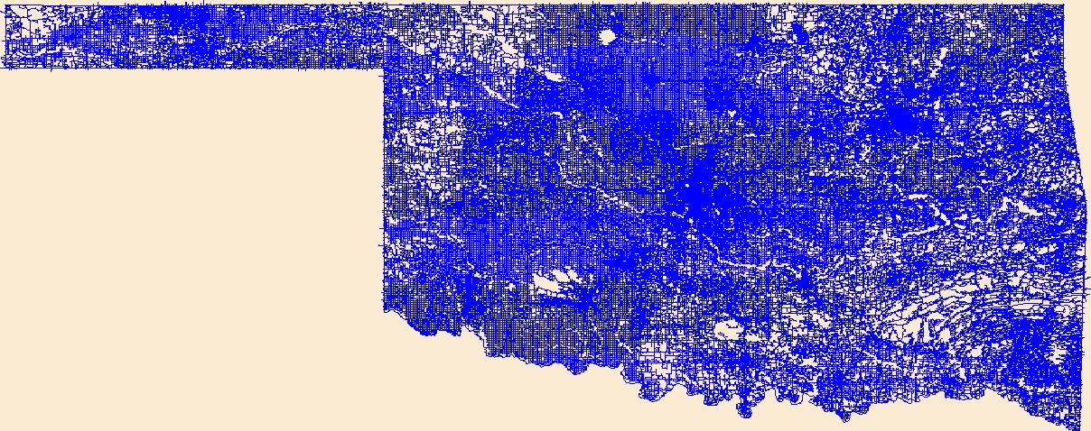
Layers of geospatial data include roads, airports, trails, and railroads.
Tags: Adair,
Airport Complex,
Airport Point,
Airport Runway,
Airports, All tags...
Airstrips,
Alfalfa,
Atoka,
Beaver,
Beckham,
Blaine,
Bryan,
Caddo,
Canadian,
Carter,
Cherokee,
Choctaw,
Cimarron,
Cleveland,
Coal,
Comanche,
Cotton,
Craig,
Creek,
Custer,
Delaware,
Dewey,
Downloadable Data,
Ellis,
Esri Shapefile nan,
Garfield,
Garvin,
Geographic names,
Grady,
Grant,
Greer,
Harmon,
Harper,
Haskell,
Hughes,
Jackson,
Jefferson,
Johnston,
Kay,
Kingfisher,
Kiowa,
Latimer,
Le Flore,
Lincoln,
Logan,
Love,
Major,
Marshall,
Mayes,
McClain,
McCurtain,
McIntosh,
Murray,
Muskogee,
National Transportation Dataset (NTD),
National Transportation Dataset (NTD),
Noble,
Nowata,
OK,
Okfuskee,
Oklahoma,
Oklahoma,
Okmulgee,
Osage,
Ottawa,
Pawnee,
Payne,
Pittsburg,
Pontotoc,
Pottawatomie,
Pushmataha,
Railways,
Roads,
Roger Mills,
Rogers,
Seminole,
Sequoyah,
Shapefile,
State,
State,
Stephens,
Texas,
Tillman,
Trail,
Trails,
Transportation,
Transportation,
Tulsa,
US,
United States,
Wagoner,
Washington,
Washita,
Waterway,
Woods,
Woodward,
transportation, Fewer tags
As one of the cornerstones of the U.S. Geological Survey's (USGS) National Geospatial Program, The National Map is a collaborative effort among the USGS and other Federal, State, and local partners to improve and deliver topographic information for the Nation. It has many uses ranging from recreation to scientific analysis to emergency response. The National Map is easily accessible for display on the Web, as products and services, and as downloadable data. The geographic information available from The National Map includes orthoimagery (aerial photographs), elevation, geographic names, hydrography, boundaries, transportation, structures, and land cover.
Tags: 1 arc-second DEM,
1 meter DEM,
1-degree DEM,
1/3 arc-second DEM,
1/9 arc-second DEM, All tags...
10,000 meter DEM,
15-minute DEM,
2 arc-second DEM,
3DEP,
Administrative watershed units,
Aerial Compliance,
Aerial Photography,
Agricultural land,
Airport Complex,
Airport Point,
Airport Runway,
Airports,
Airstrips,
Area of Complex Channels,
Area to be submerged,
Bare Earth,
Barren land,
Basin,
Bay/Inlet,
Boundaries,
Boundary,
Bridge,
Canal/Ditch,
Cartography,
Coastline,
College / University,
Compliance,
Connector,
County or Equivalent,
DEM,
Dam/Weir,
Digital Elevation Model,
Digital Mapping,
Digital Ortho rectified Image,
Digital Terrain Model,
Drainage areas for surface water,
Elevation,
Elevation Theme,
Estuary,
Feature class,
Feature coordinates,
Feature county,
Feature description,
Feature designation,
Feature history,
Feature identification,
Feature name,
Feature state,
Fire Station/ EMS Station,
Flow direction network,
Flume,
ForeShore,
Forest land,
GIS,
Gaging Station,
Gate,
Geodata,
Geographic feature,
Geographic name,
Geographic names,
Geographical feature,
Geographical name,
Georeferenced,
Governmental Units, and Administrative and Statistical Boundaries Theme,
Grid,
HU10,
HU12,
HU14,
HU16,
HU2,
HU4,
HU6,
HU8,
HUC,
Hazard Zone,
High Resolution,
High Resolution Orthoimagery,
Hospital/Medical Center,
Hydro-Flattened,
Hydrographic,
Hydrography,
Hydrologic Unit Code,
Hydrologic Units,
IFSAR,
Ice mass,
Image processing,
Impervious,
Imperviousness,
Incorporated Place,
Interferometric Synthetic Aperture Radar,
Inundation Area,
JPEG 2000,
Juction,
Jurisdictional,
LAS,
LIDAR,
LIght Detection And Ranging,
Land Use-Land Cover Theme,
Land cover,
Law Enforcement,
Levee,
Light Detection and Ranging,
Line,
Lock Chamber,
Mapping,
Marsh,
Minor Civil Division,
NAIP,
NED,
NGDA,
National Elevation Dataset,
National Geospatial Data Asset,
Native American Area,
NavAid,
Nonearthen Shore,
Not Classified,
Official feature name,
Ortho Rectification,
Orthoimage,
PLSS First Division,
PLSS Special Survey,
PLSS Township,
Percent Developed Imperviousness,
Place name,
Playa,
Point,
Point Cloud,
PointEvent,
Pond,
Prison/ Correctional Facility,
Public Land Survey System,
Quarter Quadrangle,
Railways,
Range land,
Rapids,
Raster,
Reach,
Reach code,
Real Property Theme,
Reef,
Region,
Reserve,
Reservoir,
Roads,
Rock,
School,
School:Elementary,
School:High School,
School:Middle School,
Sea/Ocean,
Sink/Rise,
Sounding Datum Line,
Special Use Zone,
Special Use Zone Limit,
Spillway,
State Capitol,
State or Territory,
Stream/River,
Sub-basin,
Sub-region,
Subbasin,
Submerged Stream,
Subregion,
Subwatershed,
Survey,
Swamp,
Technical School,
Terrain Elevation,
Topographic,
Topographic Surface,
Topography,
Trade School,
TrailFeature,
Trails,
Transportation,
Transportation Theme,
Tunnel,
U.S. Geological Survey,
U.S. Geological Survey (USGS),
U.S. National Grid,
USGS,
Underground Conduit,
Unincorporated Place,
Urban and built-up land,
Variant name,
Vector,
WBD,
Wall,
Wash,
Water,
Water Intake Outflow,
Water – Inland Theme,
Waterfall,
Watershed,
Watershed Boundaries,
Watershed Boundary Dataset,
Waterway,
Well,
Wetland,
Woodland,
a-16,
altitude,
annotations,
artificial path,
biota,
boundaries,
boundaries,
boundary,
cadastral surveys,
contour,
dams,
dems,
digital spatial data,
drainage systems and characteristics,
ecology,
economy,
elevation,
elevation,
environment,
flora,
geographic names,
grid,
habitat,
hydrography,
image map,
imagery,
imageryBaseMapsEarthCover,
inlandWaters,
lakes,
land cover,
land ownership,
land use maps,
legal land descriptions,
location,
natural color orthophoto,
orthoimage,
orthophoto,
political and administrative boundaries,
polygon grid,
rectified image,
rivers,
slope,
society,
stream,
structure,
transportation, Fewer tags

This data depicts infrastructure locations in Alaska as digitized primarily from 1:24,000, 1:63,360, and 1:250,000 USGS quadrangles. The source document that represented the newest information and best geographic location was used to capture the data. All infrastructure from the primary source document was digitized and then supplemented with the information from other source documents for additional or updated infrastructure or attributes. In addition, ISER added major rivers (those being named in the Anadromous streams catalog and > 150 km in length) and the historic Iditarod Trails for additional reference.
Types: Downloadable;
Tags: Alaska Marine Highway,
BLM,
Bureau of Land Management,
DOI,
Facility, All tags...
Geospatial,
REA,
Rapid Ecoregional Assessment,
Trans-Alaska Pipeline,
YKL 2011,
Yukon Kuskokwim,
airfields,
airports,
electrical lines,
fiber optic lines,
foot trails,
forestry development roads,
gas lines,
highways,
infrastructure,
landing airstrip,
logging roads,
marine highway,
pipeline,
power lines,
railroads,
roads,
telephone lines,
tractor trails,
trails,
transmission lines,
transportation,
utilitiesCommunication,
winter trails, Fewer tags
|
|

