Filters: Tags: Tyler (X)
297 results (20ms)|
Filters
Date Range
Types Contacts
Categories Tag Types Tag Schemes |
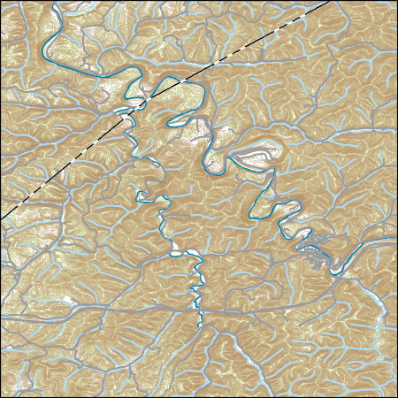
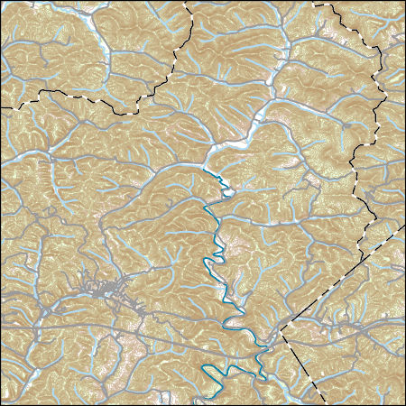
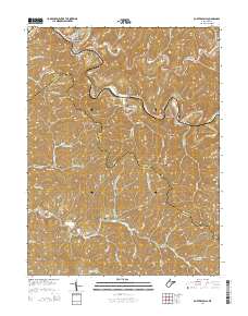
Layers of geospatial data include roads, airports, trails, and railroads.
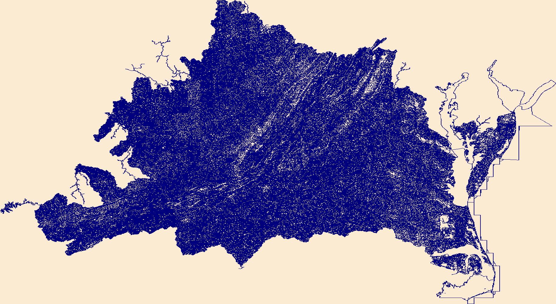
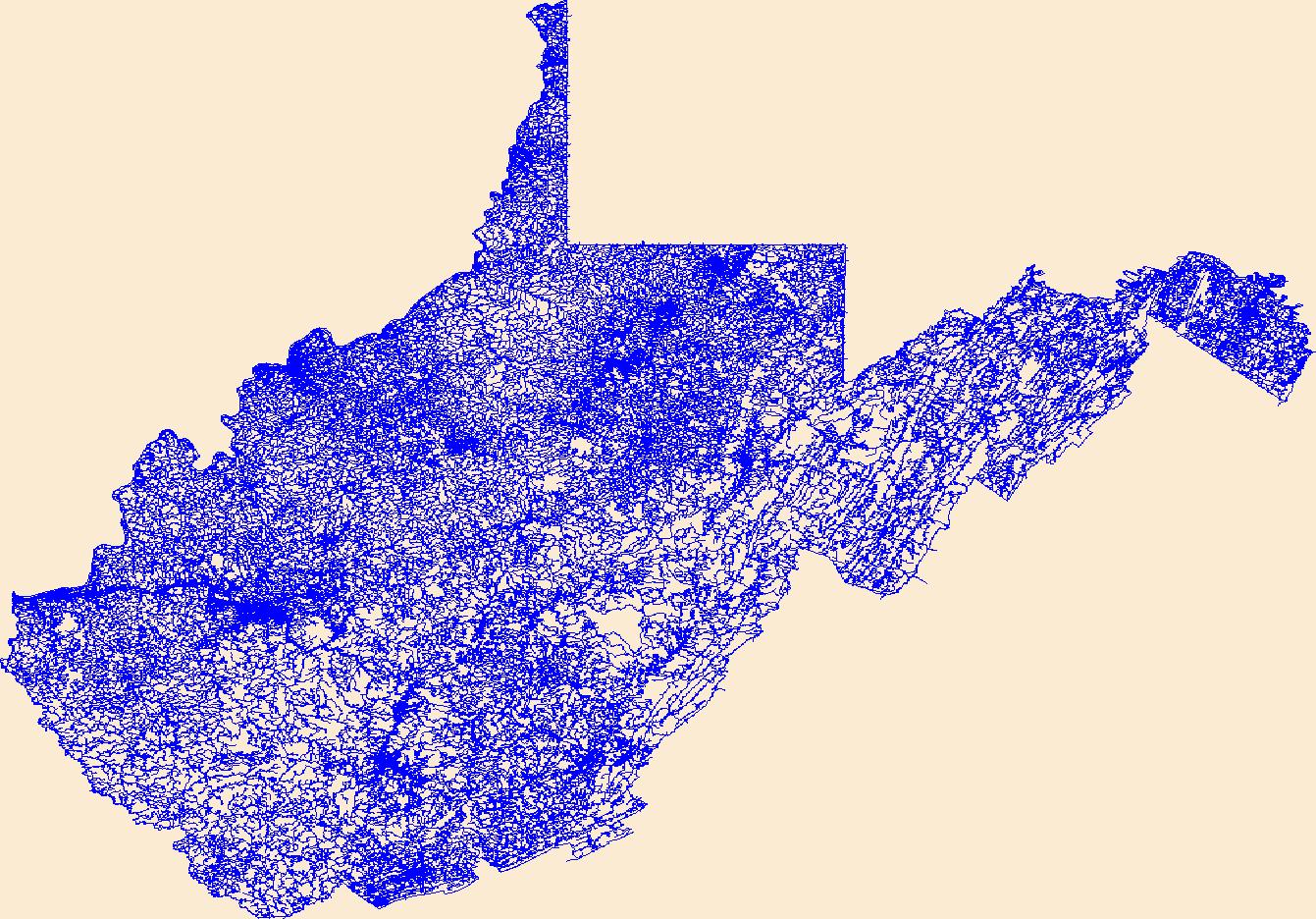
The National Hydrography Dataset (NHD) is a feature-based database that interconnects and uniquely identifies the stream segments or reaches that make up the nation's surface water drainage system. NHD data was originally developed at 1:100,000-scale and exists at that scale for the whole country. This high-resolution NHD, generally developed at 1:24,000/1:12,000 scale, adds detail to the original 1:100,000-scale NHD. (Data for Alaska, Puerto Rico and the Virgin Islands was developed at high-resolution, not 1:100,000 scale.) Local resolution NHD is being developed where partners and data exist. The NHD contains reach codes for networked features, flow direction, names, and centerline representations for areal water...
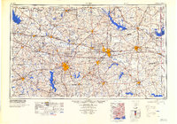
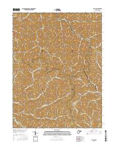
Layers of geospatial data include contours, boundaries, land cover, hydrography, roads, transportation, geographic names, structures, and other selected map features.
Layers of geospatial data include contours, boundaries, land cover, hydrography, roads, transportation, geographic names, structures, and other selected map features.
Types: Citation;
Tags: 7.5 x 7.5 minute,
7_5_Min,
Combined Vector,
Combined Vector,
Combined Vector,
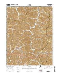
Layers of geospatial data include contours, boundaries, land cover, hydrography, roads, transportation, geographic names, structures, and other selected map features.
Types: Citation;
Tags: 7.5 x 7.5 minute,
7_5_Min,
Combined Vector,
Combined Vector,
Combined Vector,
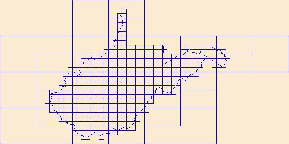
This data represents the map extent for current and historical USGS topographic maps for the United States and Territories, including 1 X 2 Degree, 1 X 1 Degree, 30 X 60 Minute, 15 X 15 Minute, 7.5 X 7.5 Minute, and 3.75 X 3.75 Minute. The grid was generated using ESRI ArcInfo GIS software.
Layers of geospatial data include contours, boundaries, land cover, hydrography, roads, transportation, geographic names, structures, and other selected map features.
Types: Citation;
Tags: 7.5 x 7.5 minute,
7_5_Min,
Combined Vector,
Combined Vector,
Combined Vector,
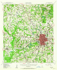
USGS Historical Quadrangle in GeoPDF.
USGS Historical Quadrangle in GeoPDF.
Core Research Center, core E248, from well operated by AXEM RESOURCESRaw Properties from download, web scrape, MapServer, and Macrostrat API{"Lib Num": "E248", "API Num": "3300701326", "Operator": "AXEM RESOURCES", "Well Name": "1-20 FRYBURG ST.", "Field": "SOUTH FRYBURG", "State": "ND", "County": "BILLINGS", "Type": "SLABBED", "Photos": "F", "Thin Sec": "F", "Analysis": "F", "Latitude": "46.843638", "Longitude": "-103.320176", "coordinates_geohash": "c8qd2zsecrhc", "Source": "FROM STATE RECORDS", "Security Flag": "VIEWING ALLOWED, NO SAMPLING UNLESS APPROVED", "crc_collection_name": "core", "sb_parent_id": "4f4e49dae4b07f02db5e0486", "intervals": [{"Formation": "TYLER", "Age": "MISS", "Min Depth": "8174", "Max...
Categories: Physical Item;
Tags: MISS,
Paleocene,
Sentinel Butte Formation,
Sentinel Butte Formation,
TYLER,
Core Research Center, core D365, from well operated by BASS ENTERPRISESRaw Properties from download, web scrape, MapServer, and Macrostrat API{"Lib Num": "D365", "API Num": "3308900295", "Operator": "BASS ENTERPRISES", "Well Name": "31-43 NEWTON", "Field": "BELL", "State": "ND", "County": "STARK", "Type": "SLABBED", "Photos": "F", "Thin Sec": "F", "Analysis": "F", "Latitude": "46.899709", "Longitude": "-103.215146", "coordinates_geohash": "c8qdg3c48g2v", "Source": "FROM STATE RECORDS", "Security Flag": "NO SPECIAL RESTRICTIONS", "crc_collection_name": "core", "sb_parent_id": "4f4e49dae4b07f02db5e0486", "intervals": [{"Formation": "TYLER", "Age": "MISS", "Min Depth": "8250", "Max Depth": "8266"}], "crcwc_url": "https://my.usgs.gov/crcwc/core/report/11105",...
Categories: Physical Item;
Tags: MISS,
Paleocene,
Sentinel Butte Formation,
Sentinel Butte Formation,
TYLER,
Core Research Center, core E484, from well operated by AXEM RESOURCESRaw Properties from download, web scrape, MapServer, and Macrostrat API{"Lib Num": "E484", "API Num": "3300701333", "Operator": "AXEM RESOURCES", "Well Name": "14-27 FRYBURG FEDERAL", "Field": "SOUTH FRYBURG", "State": "ND", "County": "BILLINGS", "Type": "SLABBED", "Photos": "F", "Thin Sec": "F", "Analysis": "F", "Latitude": "46.819389", "Longitude": "-103.413072", "coordinates_geohash": "c8q6qg0ysy8w", "Source": "FROM STATE RECORDS", "Security Flag": "NO SPECIAL RESTRICTIONS", "crc_collection_name": "core", "sb_parent_id": "4f4e49dae4b07f02db5e0486", "intervals": [{"Formation": "TYLER", "Age": "MISS", "Min Depth": "7978", "Max Depth": "7997"}],...
Categories: Physical Item;
Tags: Bullion Creek Formation,
Bullion Creek Formation,
MISS,
Paleocene,
TYLER,
Core Research Center, core E311, from well operated by MCALESTER FUELRaw Properties from download, web scrape, MapServer, and Macrostrat API{"Lib Num": "E311", "API Num": "2506505594", "Operator": "MCALESTER FUEL", "Well Name": "2-D NORTHERN PACIFIC", "Field": "KELLEY", "State": "MT", "County": "MUSSELSHELL", "Type": "SLABBED", "Photos": "F", "Thin Sec": "F", "Analysis": "F", "Latitude": "46.636413", "Longitude": "-108.1422", "coordinates_geohash": "c87171vkb17p", "Source": "FROM STATE RECORDS", "Security Flag": "NO SPECIAL RESTRICTIONS", "crc_collection_name": "core", "sb_parent_id": "4f4e49dae4b07f02db5e0486", "intervals": [{"Formation": "TYLER", "Age": "PENN", "Min Depth": "4250", "Max Depth": "4295"}], "crcwc_url":...
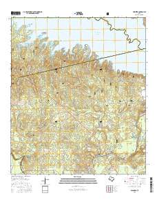
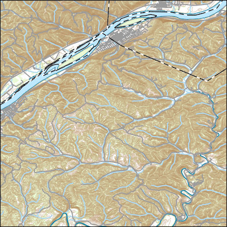
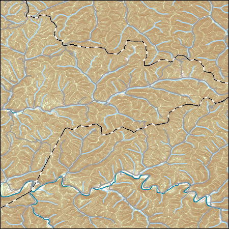
Layered GeoPDF 7.5 Minute Quadrangle Map. Layers of geospatial data include orthoimagery, roads, grids, geographic names, elevation contours, hydrography, and other selected map features.
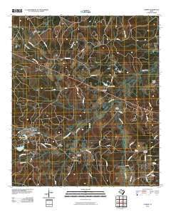
Layered GeoPDF 7.5 Minute Quadrangle Map. Layers of geospatial data include orthoimagery, roads, grids, geographic names, elevation contours, hydrography, and other selected map features.
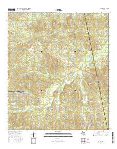
Layered GeoPDF 7.5 Minute Quadrangle Map. Layers of geospatial data include orthoimagery, roads, grids, geographic names, elevation contours, hydrography, and other selected map features.
Layered geospatial PDF Map. Layers of geospatial data include orthoimagery, roads, grids, geographic names, elevation contours, hydrography, and other selected map features.
Layered GeoPDF 7.5 Minute Quadrangle Map. Layers of geospatial data include orthoimagery, roads, grids, geographic names, elevation contours, hydrography, and other selected map features.
Layered GeoPDF 7.5 Minute Quadrangle Map. Layers of geospatial data include orthoimagery, roads, grids, geographic names, elevation contours, hydrography, and other selected map features.
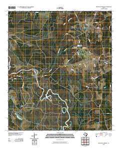
Layered GeoPDF 7.5 Minute Quadrangle Map. Layers of geospatial data include orthoimagery, roads, grids, geographic names, elevation contours, hydrography, and other selected map features.
|

|
