Filters: Tags: Winters (X)
10 results (100ms)|
Filters
Date Range
Contacts (Less)
Categories (Less) Tag Types Tag Schemes
|
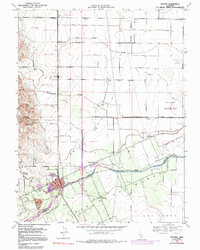
USGS Historical Quadrangle in GeoPDF.
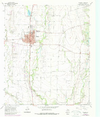
USGS Historical Quadrangle in GeoPDF.
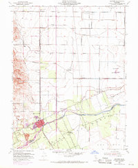
USGS Historical Quadrangle in GeoPDF.
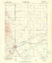
USGS Historical Quadrangle in GeoPDF.
USGS Historical Quadrangle in GeoPDF.
USGS Historical Quadrangle in GeoPDF.
In June of 2021, the U.S. Geological Survey conducted a high-resolution seismic survey at Winters, California. Seismic data were acquired using a DTCC SmartSolo 3-component nodal seismograph system ("node"), which continuously recorded at 2000 samples per second. Nodes were deployed 5 meters apart from west-southwest to east-northeast to create an approximately 800-m-long linear profile. P-wave data were generated primarily using a 500-lb (227-kg) accelerated weight drop at each recording station. In areas of difficult access, P-wave data were generated using a sledgehammer striking a steel plate. S-wave data were generated using a sledgehammer horizontally striking an aluminum block anchored to the ground. Every...
Categories: Data;
Tags: Seismology,
USGS Science Data Catalog (SDC),
Winters,
earthquakes,
faulting (geologic),
USGS Historical Quadrangle in GeoPDF.
USGS Historical Quadrangle in GeoPDF.
USGS Historical Quadrangle in GeoPDF.
|

|
