Filters: Tags: imagery (X) > partyWithName: U.S. Geological Survey, National Geospatial Technical Operations Center (X)
117 results (69ms)|
Filters
Date Range
Types Contacts Tag Types Tag Schemes |
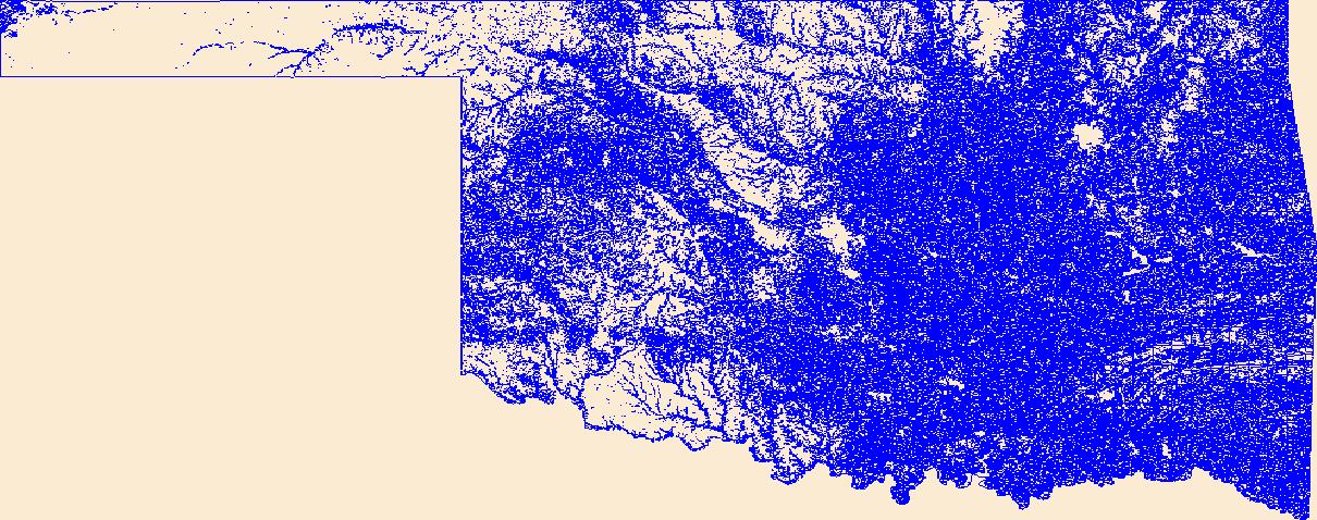
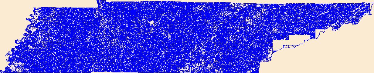
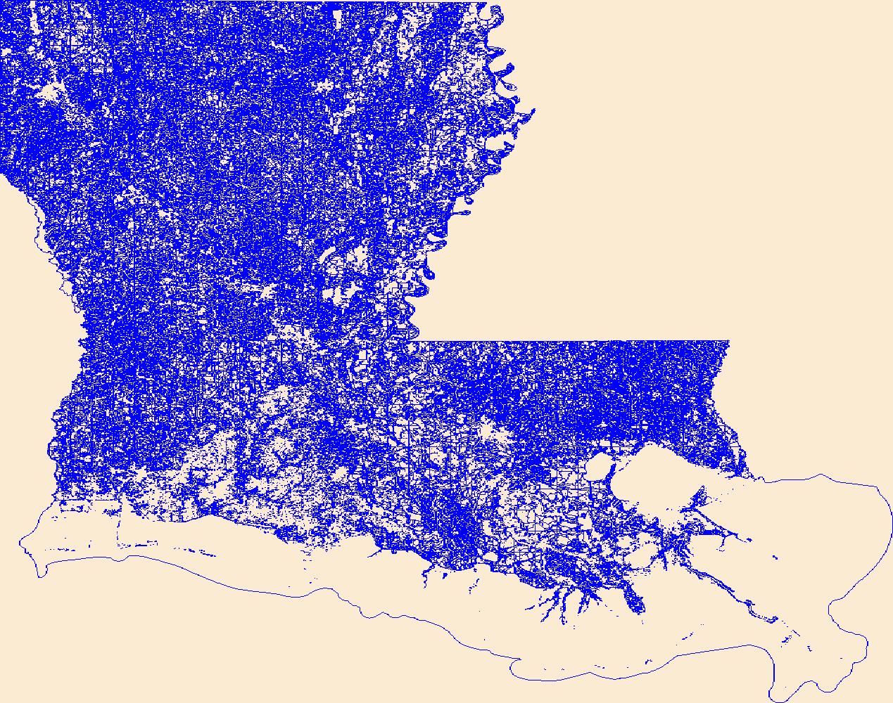
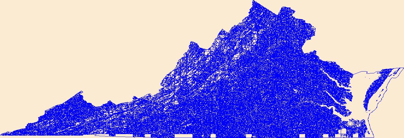
Geospatial data that is a derivative land cover product depicting woodland on topographic maps.
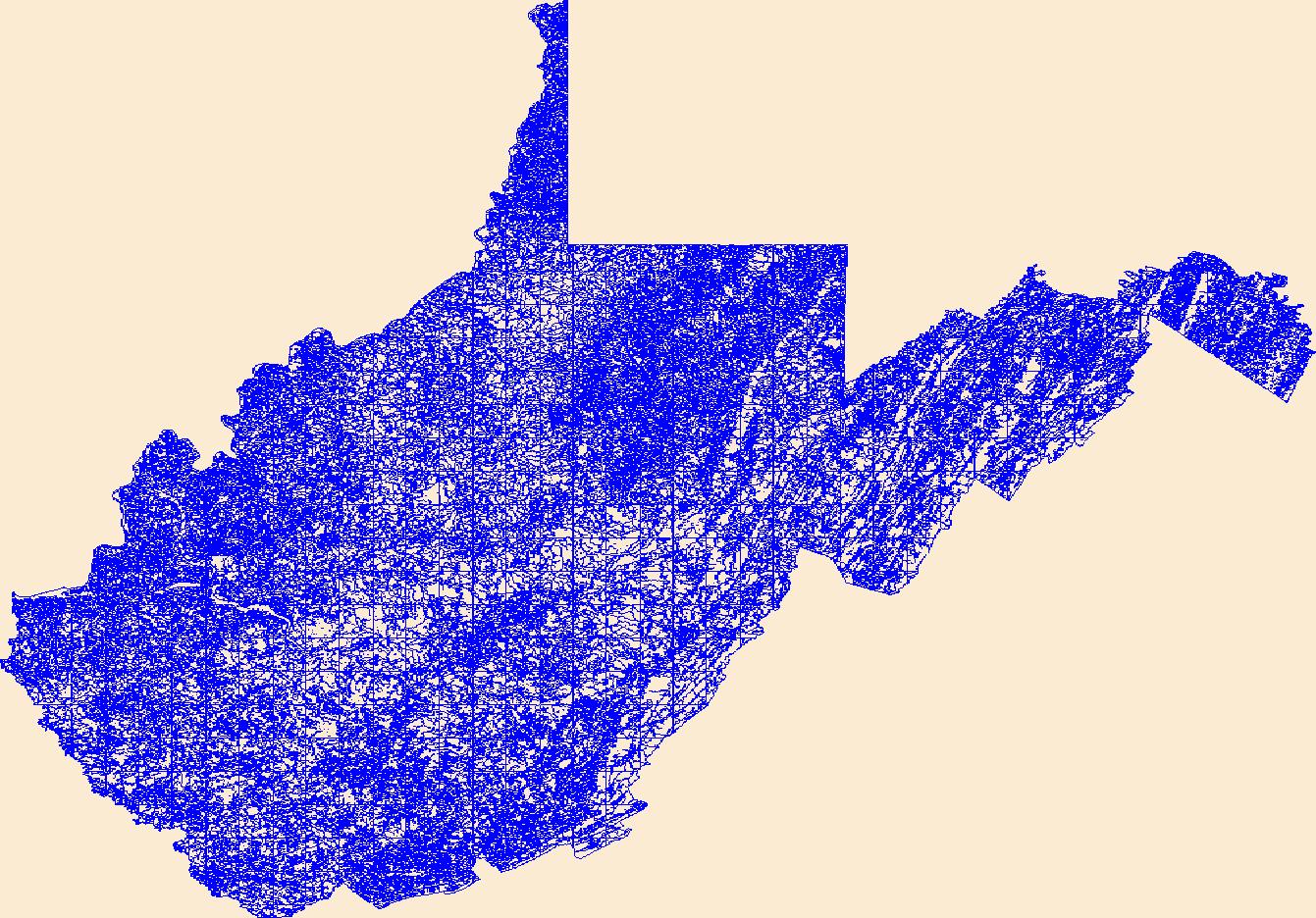
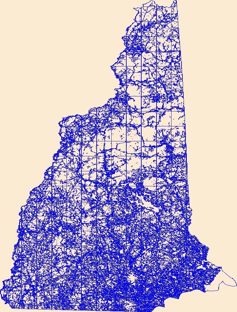
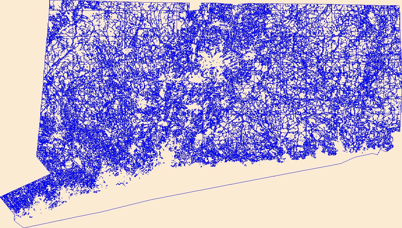
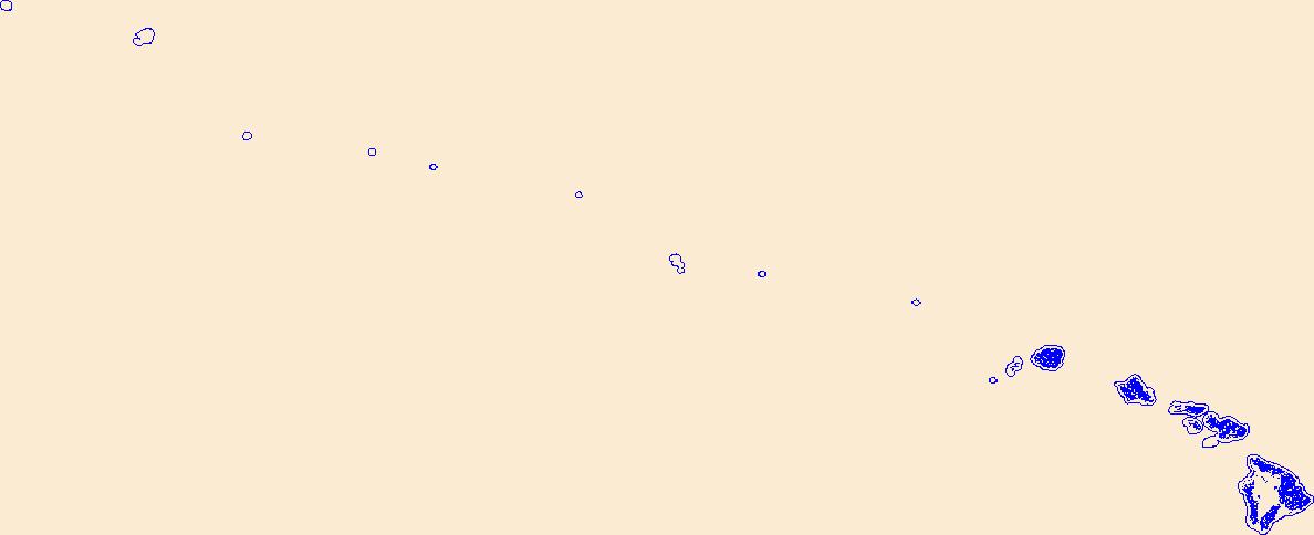
Geospatial data that is a derivative land cover product depicting woodland on topographic maps.
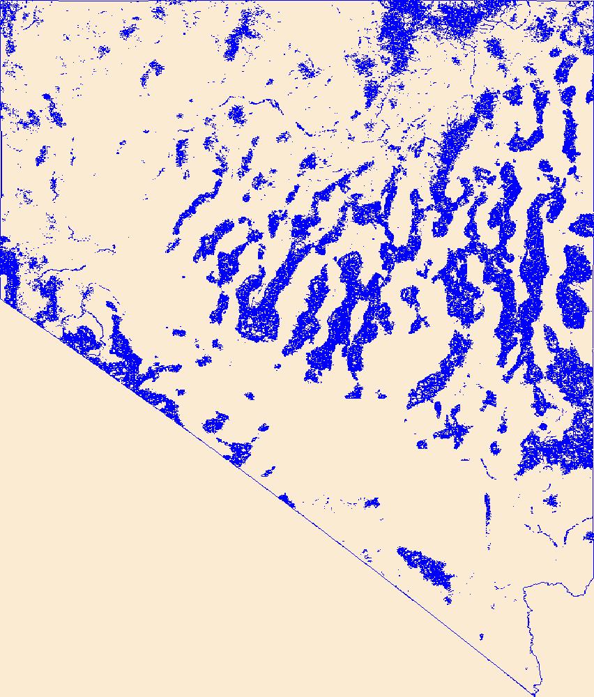
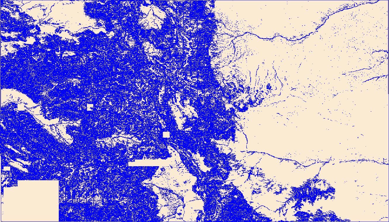
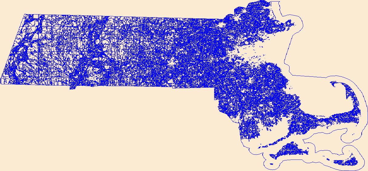
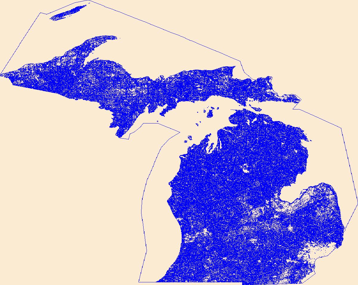
Geospatial data that is a derivative land cover product depicting woodland on topographic maps.
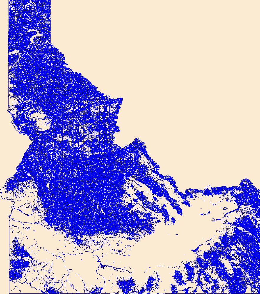
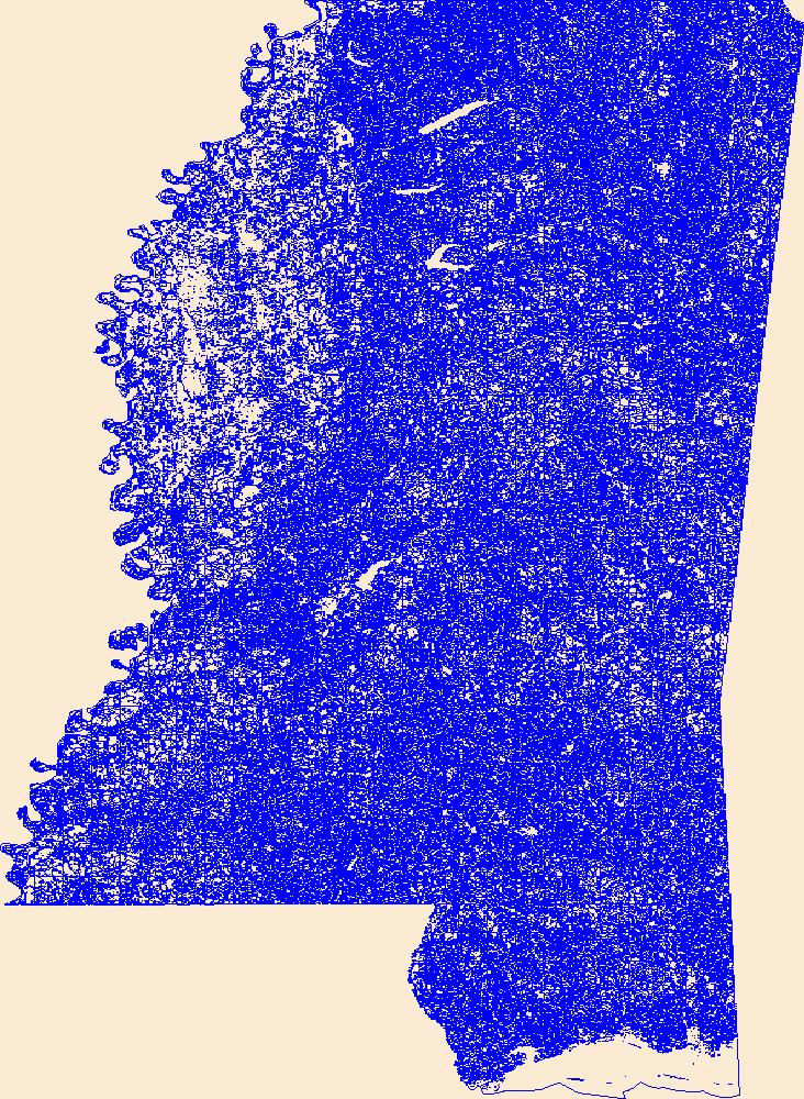
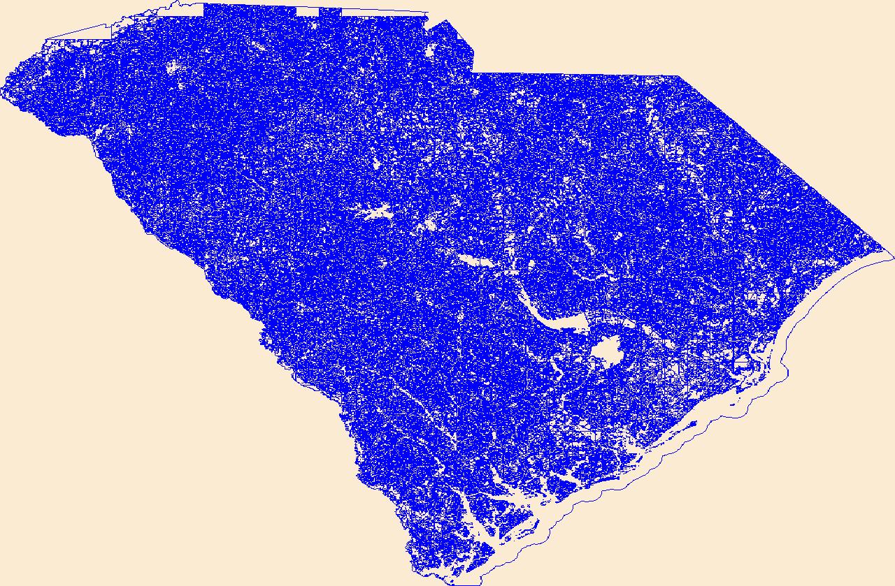
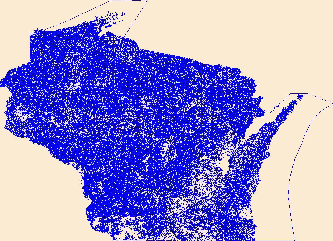
Geospatial data that is a derivative land cover product depicting woodland on topographic maps.
Geospatial data that is a derivative land cover product depicting woodland on topographic maps.

Geospatial data that is a derivative land cover product depicting woodland on topographic maps.

U.S. Geological Survey, Department of the Interior - The annual US Topo acquisition plan is to collect topographic map data in the form of US Topo GeoPDF maps over the United States and its territories on a 3-year revision cycle. The FY14 acquisition plan currently anticipates production of 18,500 (or more) US Topo maps this year. Interested parties who wish to become a data acquisition partner with the USGS in FY14 or in future years should contact a USGS Geospatial Liaison - http://liaisons.usgs.gov/geospatial/documents/TNM_Partnership_User_ContactList.pdf.
Geospatial data that is a derivative land cover product depicting woodland on topographic maps.
Geospatial data that is a derivative land cover product depicting woodland on topographic maps.
Geospatial data that is a derivative land cover product depicting woodland on topographic maps.

Geospatial data that is a derivative land cover product depicting woodland on topographic maps.

Geospatial data that is a derivative land cover product depicting woodland on topographic maps.
Geospatial data that is a derivative land cover product depicting woodland on topographic maps.
Geospatial data that is a derivative land cover product depicting woodland on topographic maps.
Geospatial data that is a derivative land cover product depicting woodland on topographic maps.
Geospatial data that is a derivative land cover product depicting woodland on topographic maps.
Geospatial data that is a derivative land cover product depicting woodland on topographic maps.
Geospatial data that is a derivative land cover product depicting woodland on topographic maps.
Geospatial data that is a derivative land cover product depicting woodland on topographic maps.
Geospatial data that is a derivative land cover product depicting woodland on topographic maps.
|

|
