Filters: Tags: ocean (X)
266 results (126ms)|
Filters
Date Range
Extensions (Less) Types (Less)
Contacts (Less)
Categories (Less) Tag Types
|
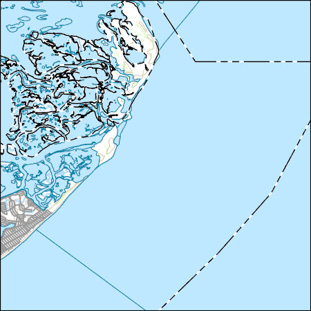
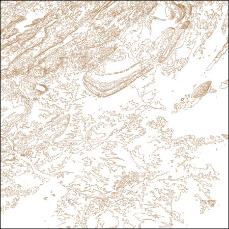
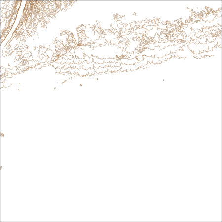
Layers of geospatial data include contours, boundaries, land cover, hydrography, roads, transportation, geographic names, structures, and other selected map features.
Layers of geospatial data include contours, boundaries, land cover, hydrography, roads, transportation, geographic names, structures, and other selected map features.
Types: Citation;
Tags: 7.5 x 7.5 minute,
7_5_Min,
Combined Vector,
Combined Vector,
Combined Vector,
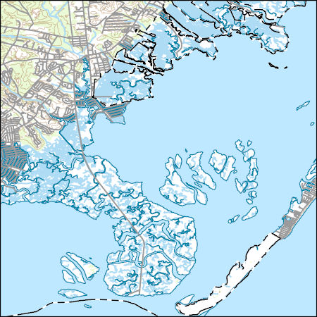
Layers of geospatial data include contours, boundaries, land cover, hydrography, roads, transportation, geographic names, structures, and other selected map features.
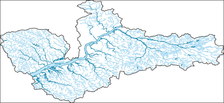
The National Hydrography Dataset (NHD) is a feature-based database that interconnects and uniquely identifies the stream segments or reaches that make up the nation's surface water drainage system. NHD data was originally developed at 1:100,000-scale and exists at that scale for the whole country. This high-resolution NHD, generally developed at 1:24,000/1:12,000 scale, adds detail to the original 1:100,000-scale NHD. (Data for Alaska, Puerto Rico and the Virgin Islands was developed at high-resolution, not 1:100,000 scale.) Local resolution NHD is being developed where partners and data exist. The NHD contains reach codes for networked features, flow direction, names, and centerline representations for areal water...
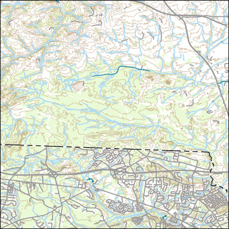
These vector contour lines are derived from the 3D Elevation Program using automated and semi-automated processes. They were created to support 1:24,000-scale CONUS and Hawaii, 1:25,000-scale Alaska, and 1:20,000-scale Puerto Rico / US Virgin Island topographic map products, but are also published in this GIS vector format. Contour intervals are assigned by 7.5-minute quadrangle, so this vector dataset is not visually seamless across quadrangle boundaries. The vector lines have elevation attributes (in feet above mean sea level on NAVD88), but this dataset does not carry line symbols or annotation.
These vector contour lines are derived from the 3D Elevation Program using automated and semi-automated processes. They were created to support 1:24,000-scale CONUS and Hawaii, 1:25,000-scale Alaska, and 1:20,000-scale Puerto Rico / US Virgin Island topographic map products, but are also published in this GIS vector format. Contour intervals are assigned by 7.5-minute quadrangle, so this vector dataset is not visually seamless across quadrangle boundaries. The vector lines have elevation attributes (in feet above mean sea level on NAVD88), but this dataset does not carry line symbols or annotation.
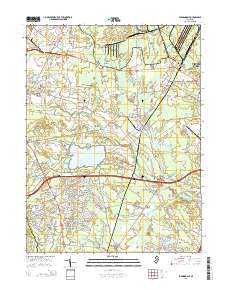
Layered GeoPDF 7.5 Minute Quadrangle Map. Layers of geospatial data include orthoimagery, roads, grids, geographic names, elevation contours, hydrography, and other selected map features.
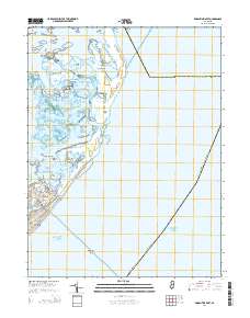
Layered GeoPDF 7.5 Minute Quadrangle Map. Layers of geospatial data include orthoimagery, roads, grids, geographic names, elevation contours, hydrography, and other selected map features.
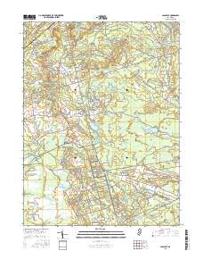
Layered geospatial PDF Map. Layers of geospatial data include orthoimagery, roads, grids, geographic names, elevation contours, hydrography, and other selected map features.
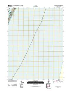
Layered GeoPDF 7.5 Minute Quadrangle Map. Layers of geospatial data include orthoimagery, roads, grids, geographic names, elevation contours, hydrography, and other selected map features.
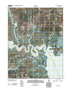
Layered GeoPDF 7.5 Minute Quadrangle Map. Layers of geospatial data include orthoimagery, roads, grids, geographic names, elevation contours, hydrography, and other selected map features.
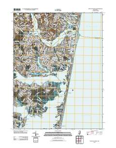
Layered GeoPDF 7.5 Minute Quadrangle Map. Layers of geospatial data include orthoimagery, roads, grids, geographic names, elevation contours, hydrography, and other selected map features.
The Sea Surface Temperature (SST) data of the nearshore region of the North Pacific show temperature ranges in degrees C using points whose locations correspond to the centroids of AVHRR Pathfinder version 5 monthly, global, 4 km data set (PFSST V50). The pathfinder rasters are available from the Physical Oceanography Distributed Active Archive Center (PO.DAAC), hosted by NASA JPL. The data points in this dataset lie within a 20 km buffer from the GSHHS (Global Self-consistent, Hierarchical, High-resolution Shoreline) coastline. The GSHHS vector data are available from the National Geophysical Data Center (NGDC). Furthermore, each point in the SST dataset is categorized by the ecoregion in which it is located. This...
The purpose of the Coral Reef Evaluation and Monitoring Project (CREMP) is to monitor the status and trends of selected reefs in the Florida Keys National Marine Sanctuary(FKNMS). CREMP assessments have been conducted annually at fixed sites since 1996 and data collected provides information on the temporal changes in benthic cover and diversity of stony corals and associated marine flora and fauna. The core field methods continue to be underwater videography and timed coral species inventories. Findings presented in this report include data from 109 stations at 37 sites sampled from 1996 through 2008 in the Florida Keys and 1999 through 2008 in the Dry Tortugas. The report describes the annual differences (between...
Categories: Data;
Types: NetCDF OPeNDAP Service;
Tags: Coral Reef Evaluation and Monitoring Project Florida Keys 2000,
about,
absence,
accepted,
acceptedNameAuthorship,
The purpose of the Coral Reef Evaluation and Monitoring Project (CREMP) is to monitor the status and trends of selected reefs in the Florida Keys National Marine Sanctuary(FKNMS).CREMP assessments have been conducted annually at fixed sites since 1996 and data collectedprovides information on the temporal changes in benthic cover and diversity of stony corals andassociated marine flora and fauna. The core field methods continue to be underwatervideography and timed coral species inventories. Findings presented in this report include datafrom 109 stations at 37 sites sampled from 1996 through 2008 in the Florida Keys and 1999 through 2008 in the Dry Tortugas. The report describes the annual differences (between 2007...
Categories: Data;
Types: NetCDF OPeNDAP Service;
Tags: Coral Reef Evaluation and Monitoring Project (CREMP),
about,
absence,
accepted,
acceptedNameAuthorship,
The purpose of the Coral Reef Evaluation and Monitoring Project (CREMP) is to monitor the status and trends of selected reefs in the Florida Keys National Marine Sanctuary(FKNMS). CREMP assessments have been conducted annually at fixed sites since 1996 and data collected provides information on the temporal changes in benthic cover and diversity of stony corals and associated marine flora and fauna. The core field methods continue to be underwater videography and timed coral species inventories. Findings presented in this report include data from 109 stations at 37 sites sampled from 1996 through 2008 in the Florida Keys and 1999 through 2008 in the Dry Tortugas. The report describes the annual differences (between...
Categories: Data;
Types: NetCDF OPeNDAP Service;
Tags: Coral Reef Evaluation and Monitoring Project (CREMP),
about,
absence,
accepted,
acceptedNameAuthorship,
Offshore Refugio State Beach Web Services
Categories: Data;
Types: ArcGIS REST Map Service,
ArcGIS Service Definition,
Downloadable,
Map Service;
Tags: California,
geology,
habitat,
mapping,
ocean
Layers of geospatial data include contours, boundaries, land cover, hydrography, roads, transportation, geographic names, structures, and other selected map features.
Types: Citation;
Tags: 7.5 x 7.5 minute,
7_5_Min,
Combined Vector,
Combined Vector,
Combined Vector,
Layers of geospatial data include contours, boundaries, land cover, hydrography, roads, transportation, geographic names, structures, and other selected map features.
Types: Citation;
Tags: 7.5 x 7.5 minute,
7_5_Min,
Combined Vector,
Combined Vector,
Combined Vector,
|

|
