Filters: Tags: salmon (X) > partyWithName: U.S. Geological Survey (X)
9 results (53ms)|
Filters
Date Range
Types Contacts
Categories Tag Types Tag Schemes |
Physical and chemical changes affect the biota within urban streams at varying scales ranging from individual organisms to populations and communities creating complex interactions that present challenges for characterizing and monitoring the impact on species utilizing these freshwater habitats. Salmonids, specifically cutthroat trout (Oncorhynchus clarkii) and coho salmon (Oncorhynchus kisutch), extensively utilize small stream habitats influenced by a changing urban landscape. This study used a comprehensive fish health assessment concurrent with the U.S. Geological Survey’s Pacific Northwest Stream Quality Assessment in 2015 to quantifiy impacts from disease in juvenile coho and cutthroat salmon, impacts to...
Categories: Data;
Types: Citation,
Map Service,
OGC WFS Layer,
OGC WMS Layer,
OGC WMS Service;
Tags: Aquatic Biology,
Bioenergtics,
Church Creek,
Coulter Creek,
East Fork Dairy Cree,
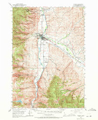
USGS Historical Quadrangle in GeoPDF.
We collected environmental DNA (eDNA) data from the Elwha River, home to the world’s largest dam removal project, to track the spatial and temporal patterns of species responses following dam removal. In total, we collected data for 11 different fish taxa, sampled at 25 sites ranging across 56 river kilometers in a wilderness river for 4 years following dam removal. We show that eDNA can effectively be used to determine whether fish have recolonized past former dams, and in some cases determine the spatial extent of that recolonization.
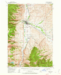
USGS Historical Quadrangle in GeoPDF.
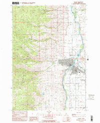
USGS Historical Quadrangle in GeoPDF.

During autumn 2009 and winter 2010, the U.S. Geological Survey (USGS), in cooperation with the U.S. Army Corps of Engineers (USACE), conducted a hydrographic survey using a multibeam echosounder system (MBES). The survey was from river mile (RM) 130 to 142 on the Snake River, and from RM 0 to 2 on the Clearwater River areas of Lower Granite Reservoir. The survey mapped the part of the river that was accessible to the boat and the echosounder equipment, but very shallow areas along the banks that were inaccessible or too shallow to be measured with echosounder equipment were not mapped. The survey was conducted in 1-mile segments, and the data were combined to provide a continuous digital elevation dataset of the...
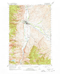
USGS Historical Quadrangle in GeoPDF.
USGS Historical Quadrangle in GeoPDF.
USGS Historical Quadrangle in GeoPDF.
|

|
