Filters: Tags: water quality (X)
2,497 results (41ms)|
Filters
Contacts
(Less)
|
Conclusions:Study found statistically significant relationships among source water quality, percent land cover, and drinking water treatment cost. Increased percent agriculture and urban cover were significantly related to decreased water quality, while decreased forest land cover was significantly related to decreased water quality. High percent land cover by non-forest vegetation was significantly related to low treatment cost.Thresholds/Learnings:
Categories: Publication;
Types: Citation;
Tags: Land use configuration,
Natural cover amount,
New England/Mid Atlantic,
forest cover,
regional,
Conclusions:Report synthesizes scientific, planning, and policy-related aspects on the importance of land conservation in areas producing water for potable uses, including watersheds and aquifers. One critical finding indicated that if there is more forest cover in a watershed, water treatment costs are lower.Thresholds/Learnings:For every 10% increase in forest cover in the source area, treatment and chemical costs decreased by about 20%, up to about 60% forest cover. Treatment costs level off when forest cover is between 70-100%.
Categories: Publication;
Types: Citation;
Tags: Land use configuration,
Natural cover amount,
United States,
forest cover,
multiple,
These data were compiled for/to modeling efforts for U.S. Bureau of Reclamation National Environmental Policy Act (NEPA) analyses for the Colorado River in Grand Canyon, Arizona. Objective(s) of our study were to create revised monthly Lake Powell elevations and outflows from Bureau of Reclamation Colorado River Mid-term Modeling System (CRMMS) traces that incorporate the alternatives in the sEIS documents and indicate when potential actions may occur and how that changes water movement and storage. These data represent monthly hydrologies for Lake Powell: inflow, outflow, and elevation forecasts for 2024-2027, as well as volumes of water in outflows for different water mangement strategies in NEPA supplemental...
The High Resolution National Hydrography Dataset Plus (NHDPlus HR) is an integrated set of geospatial data layers, including the best available National Hydrography Dataset (NHD), the 10-meter 3D Elevation Program Digital Elevation Model (3DEP DEM), and the National Watershed Boundary Dataset (WBD). The NHDPlus HR combines the NHD, 3DEP DEMs, and WBD to create a stream network with linear referencing, feature naming, "value added attributes" (VAAs), elevation-derived catchments, and other features for hydrologic data analysis. The stream network with linear referencing is a system of data relationships applied to hydrographic systems so that one stream reach "flows" into another and "events" can be tied to and traced...
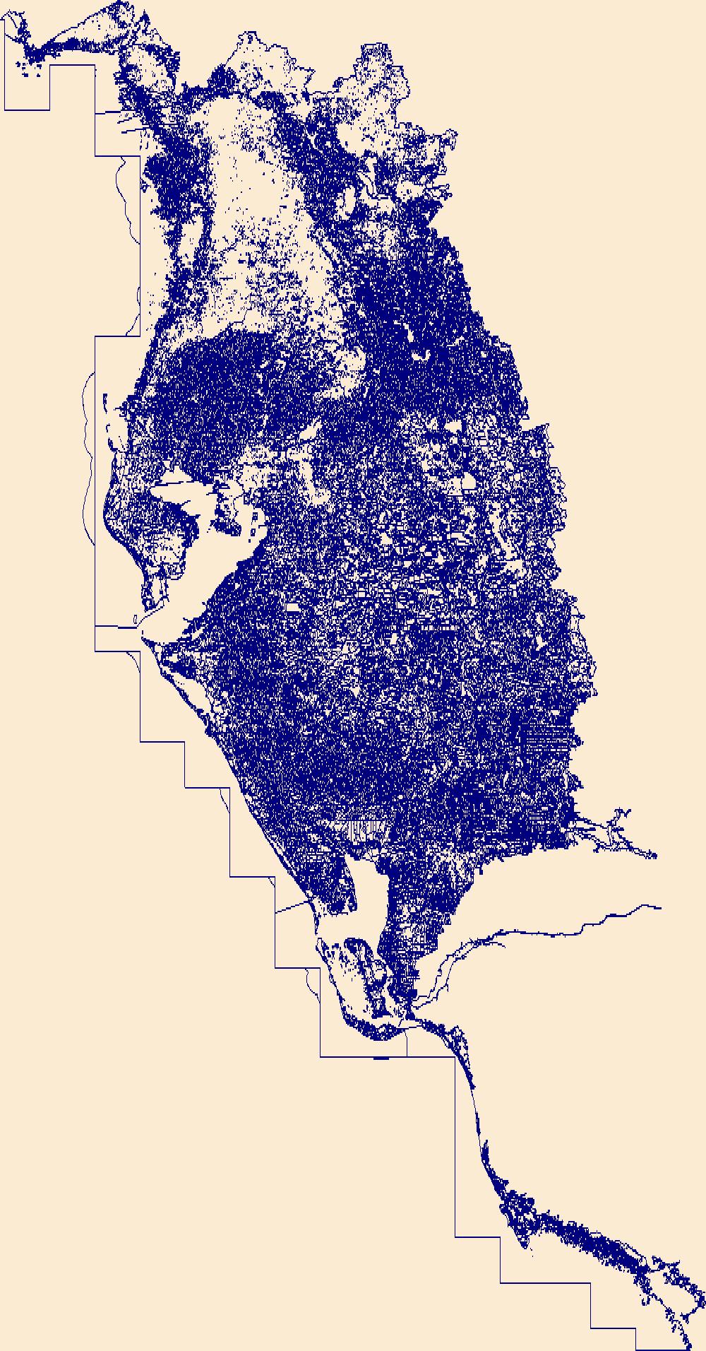
The High Resolution National Hydrography Dataset Plus (NHDPlus HR) is an integrated set of geospatial data layers, including the best available National Hydrography Dataset (NHD), the 10-meter 3D Elevation Program Digital Elevation Model (3DEP DEM), and the National Watershed Boundary Dataset (WBD). The NHDPlus HR combines the NHD, 3DEP DEMs, and WBD to create a stream network with linear referencing, feature naming, "value added attributes" (VAAs), elevation-derived catchments, and other features for hydrologic data analysis. The stream network with linear referencing is a system of data relationships applied to hydrographic systems so that one stream reach "flows" into another and "events" can be tied to and traced...
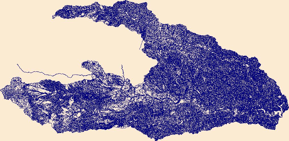
The High Resolution National Hydrography Dataset Plus (NHDPlus HR) is an integrated set of geospatial data layers, including the best available National Hydrography Dataset (NHD), the 10-meter 3D Elevation Program Digital Elevation Model (3DEP DEM), and the National Watershed Boundary Dataset (WBD). The NHDPlus HR combines the NHD, 3DEP DEMs, and WBD to create a stream network with linear referencing, feature naming, "value added attributes" (VAAs), elevation-derived catchments, and other features for hydrologic data analysis. The stream network with linear referencing is a system of data relationships applied to hydrographic systems so that one stream reach "flows" into another and "events" can be tied to and traced...
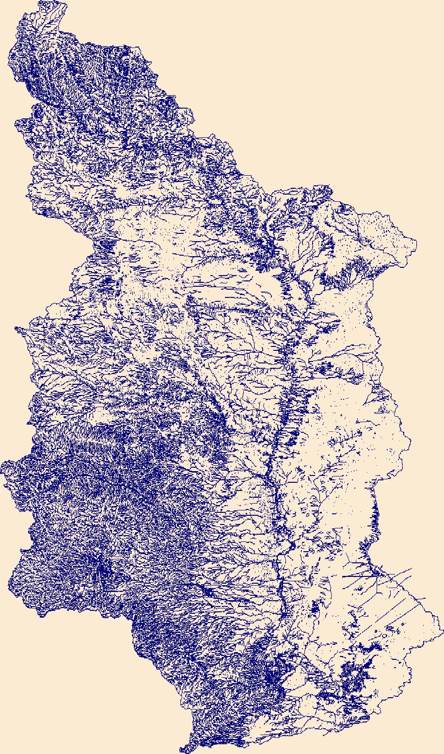
The High Resolution National Hydrography Dataset Plus (NHDPlus HR) is an integrated set of geospatial data layers, including the best available National Hydrography Dataset (NHD), the 10-meter 3D Elevation Program Digital Elevation Model (3DEP DEM), and the National Watershed Boundary Dataset (WBD). The NHDPlus HR combines the NHD, 3DEP DEMs, and WBD to create a stream network with linear referencing, feature naming, "value added attributes" (VAAs), elevation-derived catchments, and other features for hydrologic data analysis. The stream network with linear referencing is a system of data relationships applied to hydrographic systems so that one stream reach "flows" into another and "events" can be tied to and traced...
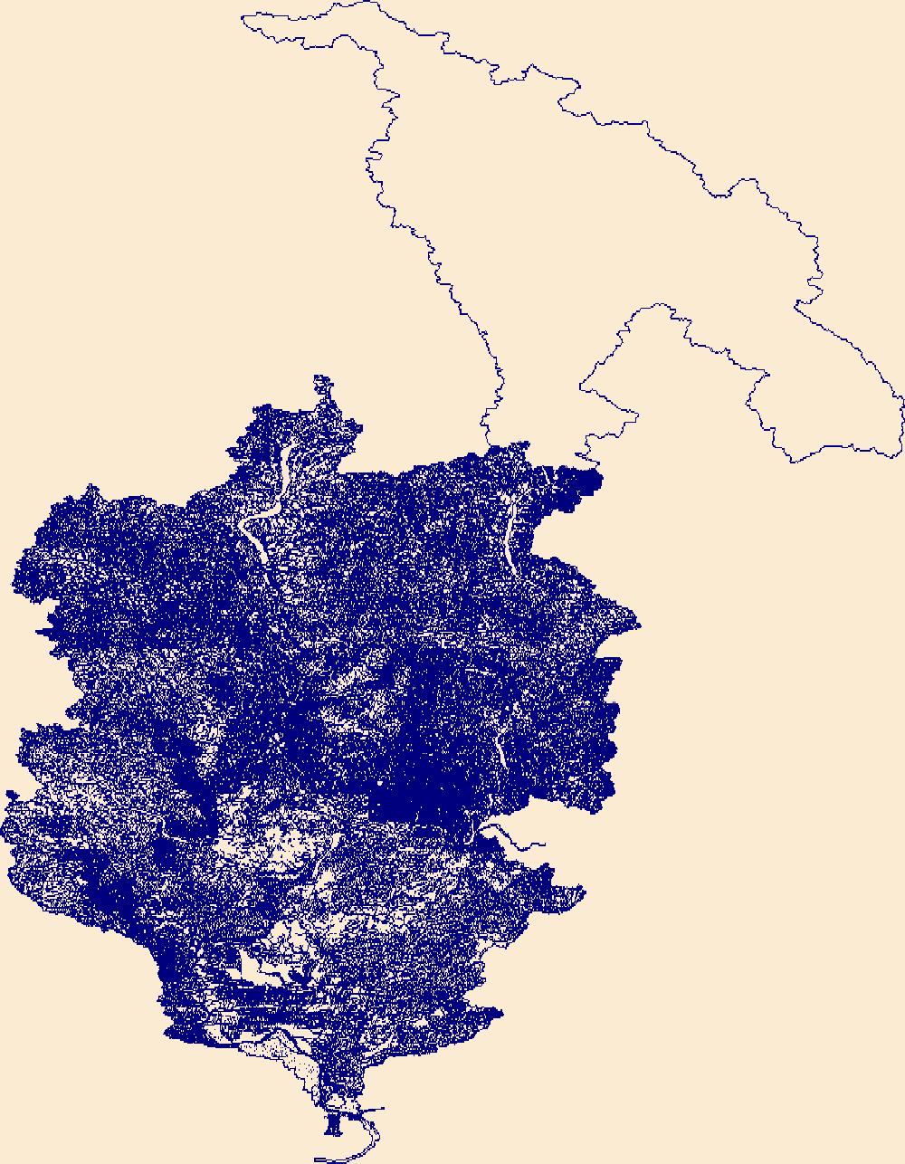
The High Resolution National Hydrography Dataset Plus (NHDPlus HR) is an integrated set of geospatial data layers, including the best available National Hydrography Dataset (NHD), the 10-meter 3D Elevation Program Digital Elevation Model (3DEP DEM), and the National Watershed Boundary Dataset (WBD). The NHDPlus HR combines the NHD, 3DEP DEMs, and WBD to create a stream network with linear referencing, feature naming, "value added attributes" (VAAs), elevation-derived catchments, and other features for hydrologic data analysis. The stream network with linear referencing is a system of data relationships applied to hydrographic systems so that one stream reach "flows" into another and "events" can be tied to and traced...

The High Resolution National Hydrography Dataset Plus (NHDPlus HR) is an integrated set of geospatial data layers, including the best available National Hydrography Dataset (NHD), the 10-meter 3D Elevation Program Digital Elevation Model (3DEP DEM), and the National Watershed Boundary Dataset (WBD). The NHDPlus HR combines the NHD, 3DEP DEMs, and WBD to create a stream network with linear referencing, feature naming, "value added attributes" (VAAs), elevation-derived catchments, and other features for hydrologic data analysis. The stream network with linear referencing is a system of data relationships applied to hydrographic systems so that one stream reach "flows" into another and "events" can be tied to and traced...
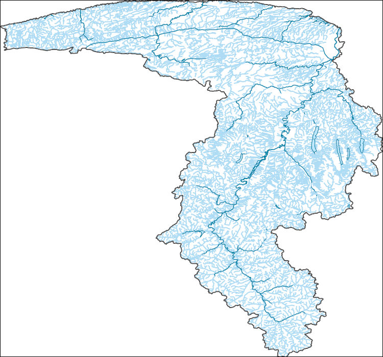
The High Resolution National Hydrography Dataset Plus (NHDPlus HR) is an integrated set of geospatial data layers, including the best available National Hydrography Dataset (NHD), the 10-meter 3D Elevation Program Digital Elevation Model (3DEP DEM), and the National Watershed Boundary Dataset (WBD). The NHDPlus HR combines the NHD, 3DEP DEMs, and WBD to create a stream network with linear referencing, feature naming, "value added attributes" (VAAs), elevation-derived catchments, and other features for hydrologic data analysis. The stream network with linear referencing is a system of data relationships applied to hydrographic systems so that one stream reach "flows" into another and "events" can be tied to and traced...
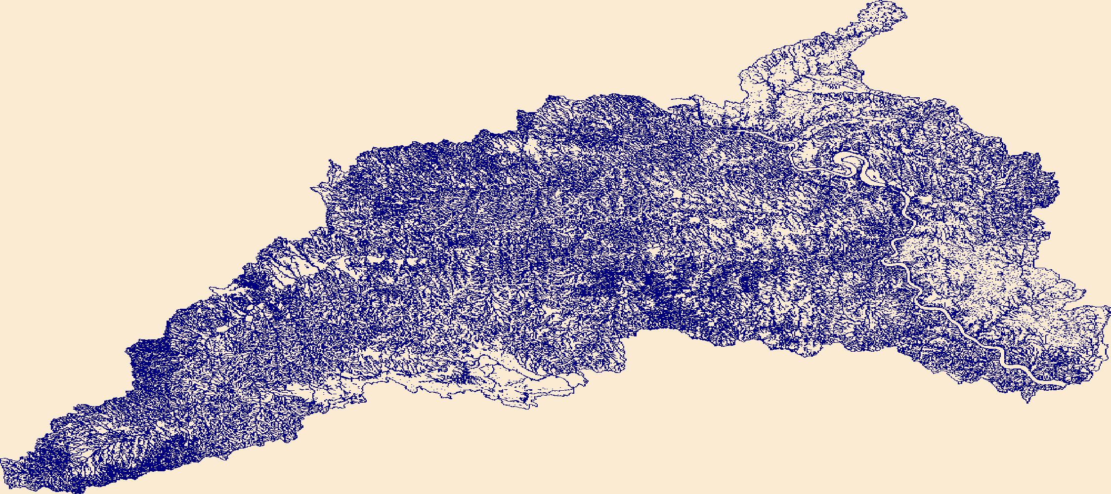
The High Resolution National Hydrography Dataset Plus (NHDPlus HR) is an integrated set of geospatial data layers, including the best available National Hydrography Dataset (NHD), the 10-meter 3D Elevation Program Digital Elevation Model (3DEP DEM), and the National Watershed Boundary Dataset (WBD). The NHDPlus HR combines the NHD, 3DEP DEMs, and WBD to create a stream network with linear referencing, feature naming, "value added attributes" (VAAs), elevation-derived catchments, and other features for hydrologic data analysis. The stream network with linear referencing is a system of data relationships applied to hydrographic systems so that one stream reach "flows" into another and "events" can be tied to and traced...

The High Resolution National Hydrography Dataset Plus (NHDPlus HR) is an integrated set of geospatial data layers, including the best available National Hydrography Dataset (NHD), the 10-meter 3D Elevation Program Digital Elevation Model (3DEP DEM), and the National Watershed Boundary Dataset (WBD). The NHDPlus HR combines the NHD, 3DEP DEMs, and WBD to create a stream network with linear referencing, feature naming, "value added attributes" (VAAs), elevation-derived catchments, and other features for hydrologic data analysis. The stream network with linear referencing is a system of data relationships applied to hydrographic systems so that one stream reach "flows" into another and "events" can be tied to and traced...

The High Resolution National Hydrography Dataset Plus (NHDPlus HR) is an integrated set of geospatial data layers, including the best available National Hydrography Dataset (NHD), the 10-meter 3D Elevation Program Digital Elevation Model (3DEP DEM), and the National Watershed Boundary Dataset (WBD). The NHDPlus HR combines the NHD, 3DEP DEMs, and WBD to create a stream network with linear referencing, feature naming, "value added attributes" (VAAs), elevation-derived catchments, and other features for hydrologic data analysis. The stream network with linear referencing is a system of data relationships applied to hydrographic systems so that one stream reach "flows" into another and "events" can be tied to and traced...

The High Resolution National Hydrography Dataset Plus (NHDPlus HR) is an integrated set of geospatial data layers, including the best available National Hydrography Dataset (NHD), the 10-meter 3D Elevation Program Digital Elevation Model (3DEP DEM), and the National Watershed Boundary Dataset (WBD). The NHDPlus HR combines the NHD, 3DEP DEMs, and WBD to create a stream network with linear referencing, feature naming, "value added attributes" (VAAs), elevation-derived catchments, and other features for hydrologic data analysis. The stream network with linear referencing is a system of data relationships applied to hydrographic systems so that one stream reach "flows" into another and "events" can be tied to and traced...
PROBLEM The valley‐fill aquifer in the lower Fall Creek valley (designated as aquifer 4, fig. 1), within the Towns of Dryden and Groton, was mapped by Miller (2000) and identified as one of 17 unconsolidated aquifers in Tompkins County that need to be studied in more detail. The east end of the valley (near the Tompkins and Cortland County border) is on the backside of a large morainal plug, which is part of the Valley Heads Moraine. A large system of springs discharge from the backside of the moraine and forms part of the headwaters to Fall Creek. The valley‐fill aquifer thins and pinches out to the west (figs. 1 and 2)— where the valley is floored by bedrock and becomes a “hanging valley” to Cayuga Lake trough....
Categories: Data,
Project;
Types: Downloadable,
Map Service,
OGC WFS Layer,
OGC WMS Layer,
Shapefile;
Tags: Cornell University,
Fall Creek,
Groundwater Monitoring,
Groundwater and Streamflow Information,
Groundwater-Quality Monitoring,
Summary:The U.S. Geological Survey (USGS) New York Water Science Center (NYWSC) operates a monitoring network of streamgages in New York where water-resources information, collected in near-real time, can be used for computing long-term low-flow statistics. This study aims to determine low-flow, mean annual and mean monthly flow statistics and for all continuous streamgages in New York State, and to complete a thorough statistical analysis of potential trends in these data. Regional regression equations will be developed to estimate the computed statistics for ungaged locations in New York from the relation of computed statistics at gaged locations to various physical and climate characteristics of that region....
Categories: Project;
Tags: Low flow or peak flow,
New York,
StreamStats,
USGS New York Water Science Center,
WSC,
Introduction Recent trends analysis examining the effectiveness of tidal wetland regulations and the regulatory program of the New York State Department of Environmental Conservation (NYSDEC) revealed that the regulations and regulatory program were highly effective in stemming the historic "fill and build" activities. However, the trends also revealed that tidal wetlands—specifically, low marshes—were disappearing. To help determine the cause(s) of this loss, the NYSDEC, in collaboration with Stony Brook University's School of Marine and Atmospheric Sciences (SoMAS) and the U.S. Geological Survey (USGS), established a monitoring program in 2008 that has been conducted on and in the tidal wetlands of East Creek,...
Categories: Data,
Project;
Types: Downloadable,
Map Service,
OGC WFS Layer,
OGC WMS Layer,
Shapefile;
Tags: Coastal Science,
Coastal Science,
Cooperative Water Program,
Long Island Sound,
Tide and Wave Hydrodynamics,
Problem - The purpose of this project is to create a watershed GIS (Geographic Information System) to support the comprehensive cleanup and restoration of Onondaga Lake that is underway. A GIS is a computer system capable of capturing, storing, analyzing, and displaying geographically referenced information; that is, data identified according to location. Given the broad scope of the Onondaga Lake Partnership's (OLP) mission, a GIS is a powerful tool that can organize, store, and share information pertinent to the management of the natural resources of the Onondaga Lake watershed. The OLP GIS will be used for land use planning, resource management, scientific monitoring, and data presentation. The project has...
Problem – Currently, swim advisories or closings are issued by beach managers based on standards for concentrations of bacterial indicators such as Escherichia coli (E. coli). Standard culture methods for these bacteria take at least 18-24 hours before results are available. At most Great Lakes beaches, the beach is posted with an advisory or closing or is determined to be acceptable for swimming on the basis of the previous day’s E. coli concentration. Sanitary conditions may change overnight and even throughout the day (Boehm and others, 2002) making decisions made from previous days information incorrect. Because of this time-lag issue, water-resource managers are seeking solutions that provide near real-time...
Categories: Data,
Project;
Types: Downloadable,
Map Service,
OGC WFS Layer,
OGC WMS Layer,
Shapefile;
Tags: Contaminants, Microbial,
Contaminants, Microbial,
Contaminants, Natural,
Contaminants, Natural,
Contaminants, Organic,
Significant changes in nitrogen loads to Jamaica Bay have likely occurred with progressive improvements to Water Pollution Control Plants (WCWPs) that discharge into the Bay. Data available from the New York City Department of Environmental Protection and others will be used to determine loads from WPCPs, combined sewer overflows, and the atmosphere. Selected wells within the USGS water quality database, including those near the landfills that are immediately adjacent to Jamaica Bay, will be used to determine concentrations of nutrients in shallow ground water that enter the bay from ground water seepage. To facilitate evaluation of ground water loads, an existing USGS Finite element model that simulates sub...
Categories: Data,
Project;
Types: Downloadable,
Map Service,
OGC WFS Layer,
OGC WMS Layer,
Shapefile;
Tags: Coastal Science,
Coastal Science,
Completed,
Cooperative Water Program,
GW or SW,
|

|