Filters: Tags: weir (X)
5 results (41ms)|
Filters
Date Range
Contacts
Categories Tag Types Tag Schemes |
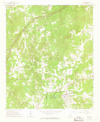
USGS Historical Quadrangle in GeoPDF.
These data were compiled to test hypotheses regarding drivers of movement of brown trout. Objectives of our study were to test whether the degree of movement varied in response to placement of a weir in Bright Angel Creek, fall timed flooding events, or simply seasonal changes. These data represent summarized capture histories of brown trout in terms of states based on physical locations, data on removal efforts in Bright Angel Creek, and summaries of effort in the mainstem Colorado River. These data were collected at several locations along the Colorado River in Glen and Grand Canyon, including Bright Angel Creek from 2011 to 2018. These data were collected by U.S. Geological Survey, National Park Service, and...
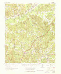
USGS Historical Quadrangle in GeoPDF.
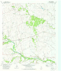
USGS Historical Quadrangle in GeoPDF.
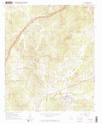
USGS Historical Quadrangle in GeoPDF.
|

|
