Original Product Resolution (OPR) Source Digital Elevation Models (DEMs) - USGS National Map 3DEP Downloadable Data Collection
Dates
Publication Date
2024
Start Date
2010
Citation
U.S. Geological Survey, 2024, Original Product Resolution (OPR) Source Digital Elevation Models (DEMs) - USGS National Map 3DEP Downloadable Data Collection: U.S. Geological Survey.
Summary
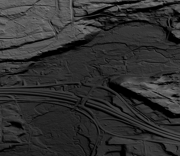
This data collection is the Original Product Resolution (OPR) Digital Elevation Model (DEM) as provided to the USGS. This source DEM is delivered in the original resolution, units and horizontal and vertical spatial references. These data may be used as the source of updates to the 3D Elevation Program (3DEP), which serves as the elevation layer of The National Map.
Summary
This data collection is the Original Product Resolution (OPR) Digital Elevation Model (DEM) as provided to the USGS. This source DEM is delivered in the original resolution, units and horizontal and vertical spatial references. These data may be used as the source of updates to the 3D Elevation Program (3DEP), which serves as the elevation layer of The National Map.
This data serves as the elevation layer of The National Map, and provides basic elevation information for earth science studies and mapping applications in the United States. The data are utilized by the scientific and resource management communities for global change research, hydrologic modeling, resource monitoring, mapping and visualization, and many other applications.