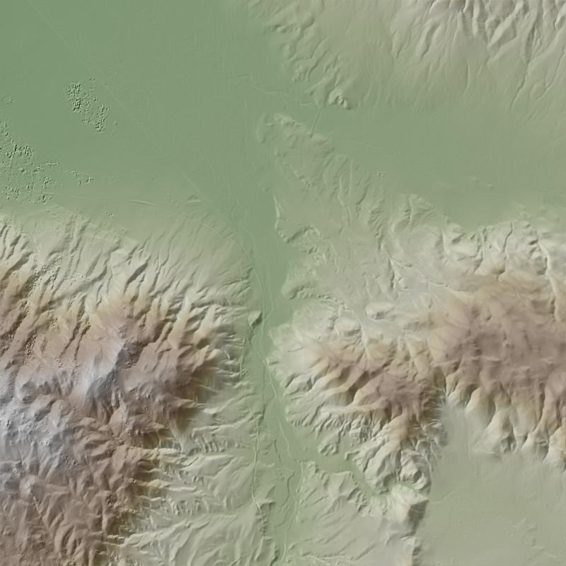
Level 6 DGED UTM nevada220111a UTM 10N750000e4420000n

Dates

Publication Date
Start Date
2018-01-01
End Date
2021-07-07
File Modification Date
2023-09-22 10:50:32

Citation

NGA, 2022, Level 6 DGED UTM nevada220111a UTM 10N750000e4420000n: U.S. Geological Survey.

Summary

This is a 1-meter resolution digital surface model (DSM) derived from commercial electro-optical satellite imagery. Contributing imaging sensors include WorldView-1, WorldView-2, WorldView-3, and GeoEye-1. A digital surface model (DSM) is a 3D representation of the Earth’s surface height, including any natural or built features located on it, such as the tops of buildings, trees and vegetation. This “top of surface” elevation dataset was produced by the National Geospatial-Intelligence Agency (NGA) with the support of the GeoData Cooperative. The GeoData Cooperative is a Department of Defense mission-driven collaboration between industry, academia, and the U.S. Government to enable access to current, accurate, and authoritative geospatial [...]
Contacts

Distributor :
The National Map
Originator :
NGA
Publisher :
U.S. Geological Survey

Attached Files

Purpose

The USGS National Geospatial Program was appropriated funding by Congress to produce digital surface models using unclassified satellite optical data for the U.S. and territories for areas that lacked lidar data by Fiscal Year 22. This “top of surface” elevation dataset was produced by the National Geospatial-Intelligence Agency (NGA) with the support of the GeoData Cooperative. These data do not meet 3DEP specifications but are provided to users who need more current data in areas where 3DEP are not yet available.

Additional Information

Identifiers

Type Scheme Key
uuid inventory 816bcd35-63a0-e536-08e0-a2bb08d771e3

Item Actions

View Item as ...

Save Item as ...

View Item...