Filters: Types: Citation (X) > Date Range: {"choice":"year"} (X) > Tags: {"scheme":"3D Elevation Program (3DEP)"} (X)
1 result (151ms)|
Filters
Date Types (for Date Range)
Tag Types Tags (with Scheme=3D Elevation Program (3DEP)) |
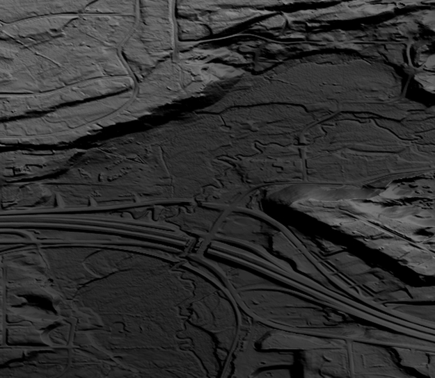
This data collection is the Original Product Resolution (OPR) Digital Elevation Model (DEM) as provided to the USGS. This source DEM is delivered in the original resolution, units and horizontal and vertical spatial references. These data may be used as the source of updates to the 3D Elevation Program (3DEP), which serves as the elevation layer of the National Map.
|