Filters: Types: Citation (X) > Tags: {"scheme":"ISO 19115 Topic Category"} (X) > Date Range: {"choice":"year"} (X)
529 results (114ms)|
Filters
Date Types (for Date Range)
Types
Contacts
Categories Tag Types Tags (with Scheme=ISO 19115 Topic Category) |
This layer represents historic fire perimeters within 50km of the Crown of the Continent Ecosystem (CCE) from 2014 to 2015 within only Alberta and British Columbia. This dataset was developed by the Crown Managers Partnership, as part of a transboundary collaborative management initiative for the Crown of the Continent Ecosystem, based on commonly identified management priorities that are relevant at the landscape scale. The CMP is collaborative group of land managers, scientists, and stakeholder in the CCE. For more information on the CMP and its collaborators, programs, and projects please visit: http://crownmanagers.org/. This dataset was first published in May 2016. Note: There was not any public data available...
Categories: Data;
Types: Citation,
Downloadable,
Map Service,
OGC WFS Layer,
OGC WMS Layer,
Shapefile;
Tags: 2014 to 2015,
2014 to 2015,
Crown Manager's Partnership,
Crown Manager's Partnership,
Crown of the Continent Ecosystem,
This layer represents historic fire perimeters within 50km of the Crown of the Continent Ecosystem (CCE) from 1931 to 2013. This dataset was developed by the Crown Managers Partnership, as part of a transboundary collaborative management initiative for the Crown of the Continent Ecosystem, based on commonly identified management priorities that are relevant at the landscape scale. The CMP is collaborative group of land managers, scientists, and stakeholder in the CCE. For more information on the CMP and its collaborators, programs, and projects please visit: http://crownmanagers.org/. This dataset was first published in May 2016.Note: There was not any publically comparable data available for the fire cause for...
Categories: Data;
Types: Citation,
Downloadable,
Map Service,
OGC WFS Layer,
OGC WMS Layer,
Shapefile;
Tags: Crown Manager's Partnership,
Crown Manager's Partnership,
Crown of the Continent Ecosystem,
Crown of the Continent Ecosystem,
Data,
This data release presents data for 5-m resolution multibeam-bathymetry and acoustic-backscatter data of the northern Channel Islands region, southern California. In 2004 the U.S. Geological Survey, Pacific Coastal and Marine Science Center collected multibeam-bathymetry and acoustic-backscatter data in the northern Channel Islands region, southern California. The region was mapped aboard the R/V Ewing using a Kongsberg Simrad EM-1002 multibeam echosounder. These data were previously published on-line at http://pubs.usgs.gov/of/2005/1153/. In this data release the data have been reprocessed to a finer spatial resolution (5-m versus 15-m) using more modern processing techniques. Due to the large file sizes the entire...
Categories: Data;
Types: Citation,
Map Service,
OGC WFS Layer,
OGC WMS Layer,
OGC WMS Service;
Tags: Backscatter (sea floor),
Bathymetry,
Bathymetry,
CMG,
CMGP,
Here we present surface current results from a physics-based, 3-dimensional coupled ocean-atmosphere numerical model that was generated to understand coral larval dispersal patterns in Maui Nui, Hawaii, USA. The model was used to simulate coral larval dispersal patterns from a number of existing State-managed reefs and large tracks of reefs with high coral coverage that might be good candidates for marine-protected areas (MPAs) during 8 spawning events during 2010-2013. The goal of this effort is to provide geophysical data to help provide guidance to sustain coral health in Maui Nui, Hawaii, USA. Each model output run is available as a netCDF file with self-contained attribute information. Each file name is appended...
Categories: Data;
Types: Citation,
Map Service,
NetCDF OPeNDAP Service,
OGC WFS Layer,
OGC WMS Layer,
OGC WMS Service;
Tags: CMGP,
Coastal and Marine Geology Program,
Geophysics,
Hawaii,
Kahoolawe,
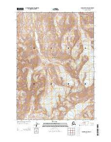
Layered geospatial PDF Map. Layers of geospatial data include orthoimagery, roads, grids, geographic names, elevation contours, hydrography, and other selected map features.
Types: Citation;
Tags: 7.5 x 7.5 minute,
Alaska,
Anchorage,
Anchorage A-4 SW, AK,
Downloadable Data,
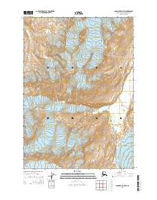
Layered GeoPDF Quadrangle Map. Layers of geospatial data include orthoimagery, roads, grids, geographic names, elevation contours, hydrography, and other selected map features.
Types: Citation;
Tags: 7.5 x 7.5 minute,
Alaska,
Anchorage,
Anchorage B-4 NW, AK,
Downloadable Data,
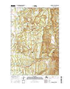
Layered geospatial PDF Map. Layers of geospatial data include orthoimagery, roads, grids, geographic names, elevation contours, hydrography, and other selected map features.
Types: Citation;
Tags: 7.5 x 7.5 minute,
Alaska,
Anchorage,
Anchorage B-8 NE, AK,
Downloadable Data,
Layered GeoPDF Quadrangle Map. Layers of geospatial data include orthoimagery, roads, grids, geographic names, elevation contours, hydrography, and other selected map features.
Types: Citation;
Tags: 7.5 x 7.5 minute,
Alaska,
Anchorage C-3 SE, AK,
Downloadable Data,
EarthCover,
Layered GeoPDF Quadrangle Map. Layers of geospatial data include orthoimagery, roads, grids, geographic names, elevation contours, hydrography, and other selected map features.
Types: Citation;
Tags: 7.5 x 7.5 minute,
Alaska,
Anchorage,
Anchorage B-5 SW, AK,
Downloadable Data,
Layered GeoPDF Quadrangle Map. Layers of geospatial data include orthoimagery, roads, grids, geographic names, elevation contours, hydrography, and other selected map features.
Types: Citation;
Tags: 7.5 x 7.5 minute,
Alaska,
Anchorage,
Anchorage A-5 NW, AK,
Downloadable Data,
Layered geospatial PDF Map. Layers of geospatial data include orthoimagery, roads, grids, geographic names, elevation contours, hydrography, and other selected map features.
Types: Citation;
Tags: 7.5 x 7.5 minute,
Alaska,
Anchorage D-8 SW, AK,
Downloadable Data,
EarthCover,
Publications that have used Dunlin resighting or recapture data collected throughout the East Asian-Australasian flyway.
Categories: Data,
Publication;
Types: Citation,
Map Service,
OGC WFS Layer,
OGC WMS Layer,
OGC WMS Service;
Tags: ANIMALS/VERTEBRATES,
Arctic,
BIOLOGICAL CLASSIFICATION,
BIRDS,
Dunlin,
Publications that have used data collected during the nest survival work on the Arctic National Wildlife Refuge.
Categories: Data,
Publication;
Types: Citation;
Tags: ANIMALS/VERTEBRATES,
Arctic,
BIOLOGICAL CLASSIFICATION,
BIRDS,
EARTH SCIENCE,
Attributes of remote camera stations on Moscow Mountain in Latah County, ID including georeferencing information and camera deployment information. Remote cameras were used to collect data on snow presence, snow depth, and wildlife detections on Moscow Mountain in Latah County, ID, USA. Reconyx Hyperfire I and Hyperfire II cameras were used and set to take hourly timelapse images and motion-triggered images. The cameras were deployed from October 2020 - May 2021.
Categories: Data,
Publication;
Types: Citation;
Tags: Idaho,
Latah,
Moscow Mountain,
location,
snow and ice cover
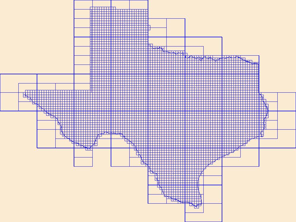
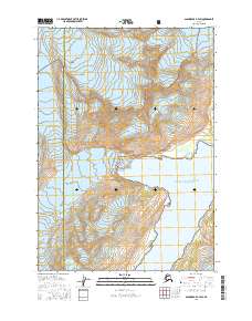
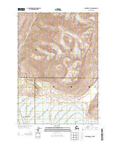
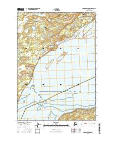
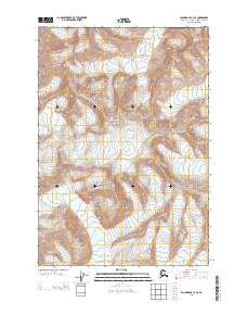
This data represents the map extent for current and historical USGS topographic maps for the United States and Territories, including 1 X 2 Degree, 1 X 1 Degree, 30 X 60 Minute, 15 X 15 Minute, 7.5 X 7.5 Minute, and 3.75 X 3.75 Minute. The grid was generated using ESRI ArcInfo GIS software.
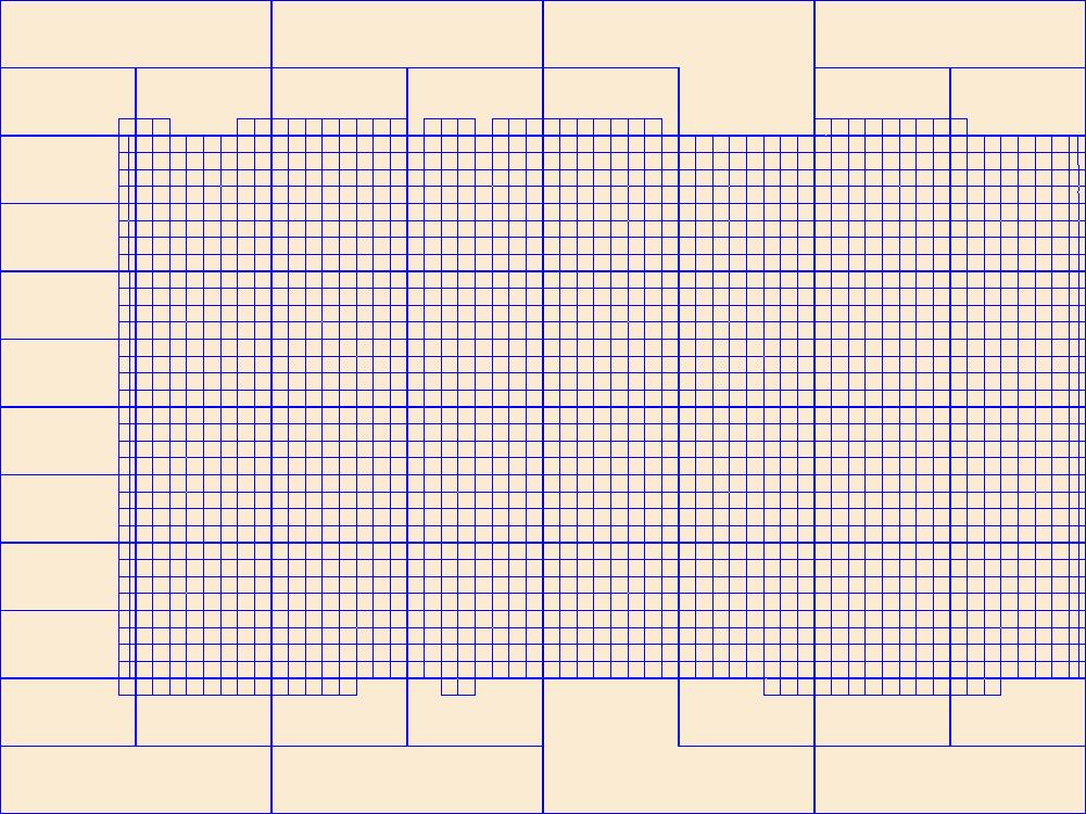
This data represents the map extent for current and historical USGS topographic maps for the United States and Territories, including 1 X 2 Degree, 1 X 1 Degree, 30 X 60 Minute, 15 X 15 Minute, 7.5 X 7.5 Minute, and 3.75 X 3.75 Minute. The grid was generated using ESRI ArcInfo GIS software.
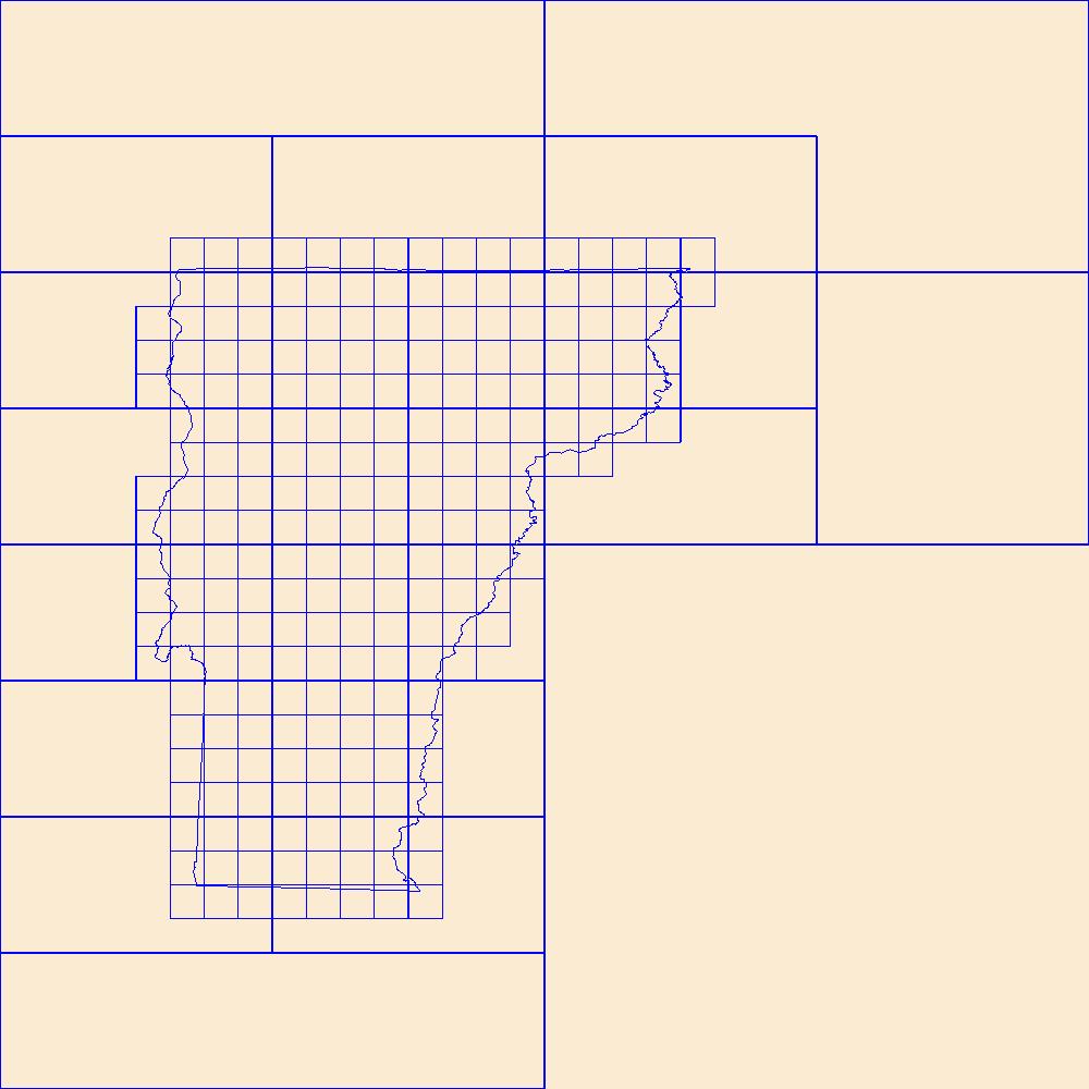
This data represents the map extent for current and historical USGS topographic maps for the United States and Territories, including 1 X 2 Degree, 1 X 1 Degree, 30 X 60 Minute, 15 X 15 Minute, 7.5 X 7.5 Minute, and 3.75 X 3.75 Minute. The grid was generated using ESRI ArcInfo GIS software.
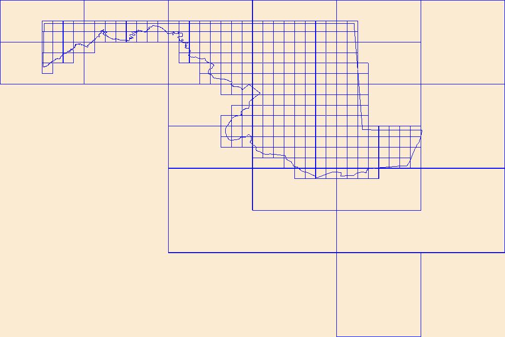
This data represents the map extent for current and historical USGS topographic maps for the United States and Territories, including 1 X 2 Degree, 1 X 1 Degree, 30 X 60 Minute, 15 X 15 Minute, 7.5 X 7.5 Minute, and 3.75 X 3.75 Minute. The grid was generated using ESRI ArcInfo GIS software.
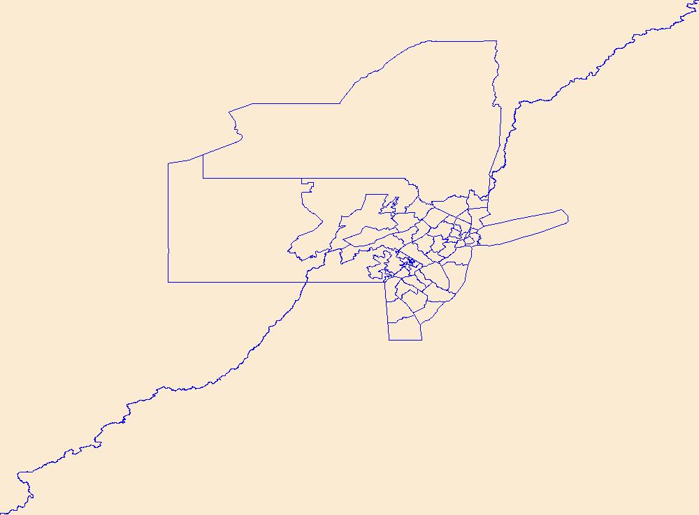
Geospatial data is comprised of government boundaries.
Geospatial data is comprised of government boundaries.
|

|
