Filters: Tags: San Diego (X)
233 results (79ms)|
Filters
Date Range
Extensions Types Contacts
Categories Tag Types
|
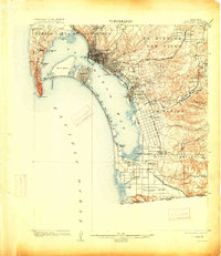
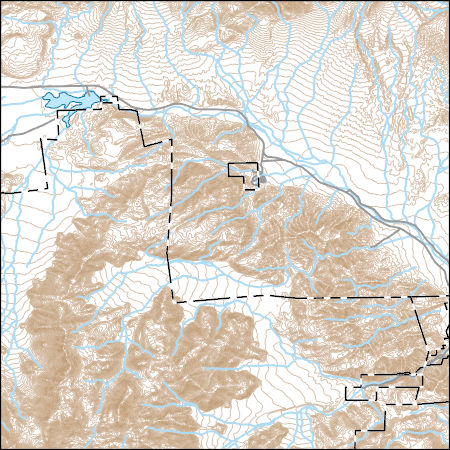
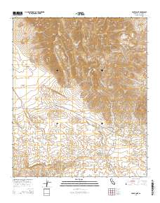
Layered GeoPDF 7.5 Minute Quadrangle Map. Layers of geospatial data include orthoimagery, roads, grids, geographic names, elevation contours, hydrography, and other selected map features.
Layered GeoPDF 7.5 Minute Quadrangle Map. Layers of geospatial data include orthoimagery, roads, grids, geographic names, elevation contours, hydrography, and other selected map features.
Layered GeoPDF 7.5 Minute Quadrangle Map. Layers of geospatial data include orthoimagery, roads, grids, geographic names, elevation contours, hydrography, and other selected map features.
Layered GeoPDF 7.5 Minute Quadrangle Map. Layers of geospatial data include orthoimagery, roads, grids, geographic names, elevation contours, hydrography, and other selected map features.
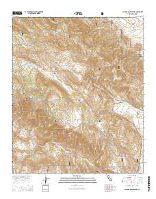
Layered GeoPDF 7.5 Minute Quadrangle Map. Layers of geospatial data include orthoimagery, roads, grids, geographic names, elevation contours, hydrography, and other selected map features.
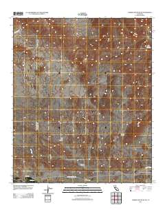
Layered GeoPDF 7.5 Minute Quadrangle Map. Layers of geospatial data include orthoimagery, roads, grids, geographic names, elevation contours, hydrography, and other selected map features.
We surveyed for Least Bell’s Vireos (Vireo bellii pusillus; vireo) and Southwestern Willow Flycatchers (Empidonax traillii extimus; flycatcher) along the San Luis Rey River, between College Boulevard in Oceanside and Interstate 15 in Fallbrook, California (middle San Luis Rey River), in 2021. Surveys were conducted from April 13 to July 14 (vireo) and from May 18 to July 13 (flycatcher). We found 180 vireo territories, at least 125 of which were occupied by pairs. The vireo population size decreased by 6 percent from 2020 to 2021. One resident flycatcher, of undetermined breeding status, was observed in the survey area in 2021. He was detected from May 20 to June 4, 2021, and no evidence of pairing or nesting was...
Categories: Data;
Types: Downloadable,
Map Service,
OGC WFS Layer,
OGC WMS Layer,
Shapefile;
Tags: San Diego,
Southern California,
USGS Science Data Catalog (SDC),
Wildlife Biology,
endangered species,
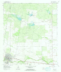
USGS Historical Quadrangle in GeoPDF.
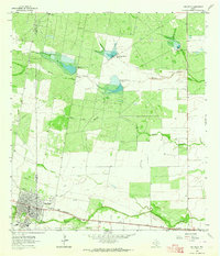
USGS Historical Quadrangle in GeoPDF.
Data presented are results of surveys for California Gnatcatchers and vegetation sampling conducted in 2015 and 2016 to address two inter-related questions: (1) How have gnatcatchers and their habitat recovered in areas burned by wildfires in 2003, 2007, and 2014?, and (2) What is the current regional occupancy of gnatcatchers throughout their southern California range? Data for the post-fire study were collected in 2015 and 2016, while the regional occupancy survey was conducted in 2016. In 2015, Gnatcatcher occupancy as a function of fire history was derived from 324 points in the following fire categories: 2003-2006 (106 points), 2007-2010 (111 points), and 2011-2014 (107 points). In 2016, points representing...
Categories: Data;
Types: Downloadable,
Map Service,
OGC WFS Layer,
OGC WMS Layer,
Shapefile;
Tags: San Diego,
biogeography,
biota,
coastal sage scrub,
endangered species,
USGS Historical Quadrangle in GeoPDF.
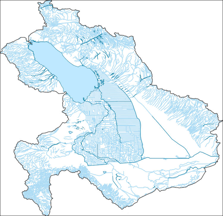
The National Hydrography Dataset (NHD) is a feature-based database that interconnects and uniquely identifies the stream segments or reaches that make up the nation's surface water drainage system. NHD data was originally developed at 1:100,000-scale and exists at that scale for the whole country. This high-resolution NHD, generally developed at 1:24,000/1:12,000 scale, adds detail to the original 1:100,000-scale NHD. (Data for Alaska, Puerto Rico and the Virgin Islands was developed at high-resolution, not 1:100,000 scale.) Local resolution NHD is being developed where partners and data exist. The NHD contains reach codes for networked features, flow direction, names, and centerline representations for areal water...
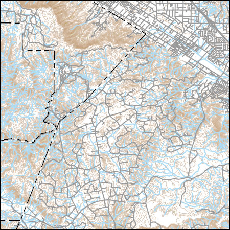
Layers of geospatial data include contours, boundaries, land cover, hydrography, roads, transportation, geographic names, structures, and other selected map features.
Data presented are results of surveys (2015) and monitoring (2015 and 2016) for San Diego Cactus Wren (Campylorhynchus brunneicapillus) in southern San Diego County. Surveys were conducted at 35 plots. Plots were surveyed twice in 2015 and the number, age (adult or juvenile), banding status (color banded or not), breeding status (paired, unpaired, or unknown), and nesting status (active nest detected or not) of all wrens recorded. Habitat covariate data were collected including amount of dead and stressed cactus in the plot, percent cover of bare ground, and the dominant and percent cover of invasive species. During weekly monitoring visits, nests were located and checked to determine the number of eggs laid, the...
Categories: Data;
Types: Downloadable,
Map Service,
OGC WFS Layer,
OGC WMS Layer,
Shapefile;
Tags: California,
San Diego,
animal and plant census,
biota,
birds,
Data presented are results of surveys and monitoring in 2018 for San Diego Cactus Wren (Campylorhynchus brunneicapillus) in southern San Diego County. Surveys were conducted at 362 plots. Plots were surveyed twice in 2018 and the number, age (adult or juvenile), banding status (color banded or not), breeding status (paired, unpaired, or unknown), and nesting status (active nest detected or not) of all wrens recorded. Habitat covariate data were collected including amount of dead and stressed cactus in the plot, percent cover of bare ground, and the dominant and percent cover of invasive species. During weekly monitoring visits, nests were located and checked to determine the number of eggs laid, the number of eggs...
Categories: Data;
Types: Downloadable,
Map Service,
OGC WFS Layer,
OGC WMS Layer,
Shapefile;
Tags: California,
San Diego,
animal and plant census,
biota,
birds,
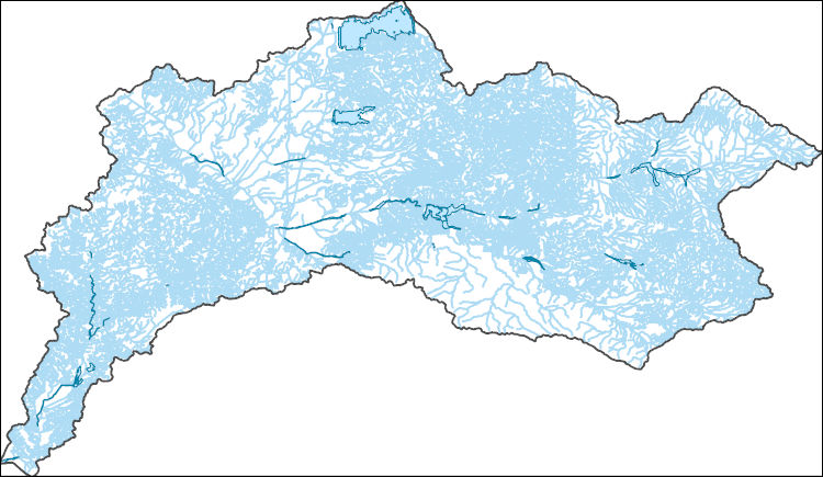
The National Hydrography Dataset (NHD) is a feature-based database that interconnects and uniquely identifies the stream segments or reaches that make up the nation's surface water drainage system. NHD data was originally developed at 1:100,000-scale and exists at that scale for the whole country. This high-resolution NHD, generally developed at 1:24,000/1:12,000 scale, adds detail to the original 1:100,000-scale NHD. (Data for Alaska, Puerto Rico and the Virgin Islands was developed at high-resolution, not 1:100,000 scale.) Local resolution NHD is being developed where partners and data exist. The NHD contains reach codes for networked features, flow direction, names, and centerline representations for areal water...
Layers of geospatial data include contours, boundaries, land cover, hydrography, roads, transportation, geographic names, structures, and other selected map features.
Layers of geospatial data include roads, airports, trails, and railroads.
This dataset includes tables with physical information and isotopic data that are used to calculate uranium-series ages (230Th/U method) and initial 234U/238U activity ratios on a suite of mastodon bones from the Cerutti Mastodon site near San Diego, CA area.
Categories: Data;
Types: Citation,
Map Service,
OGC WFS Layer,
OGC WMS Layer,
OGC WMS Service;
Tags: California,
Paradise Hills,
San Diego,
San Diego County,
USGS Science Data Catalog (SDC),
Layered GeoPDF 7.5 Minute Quadrangle Map. Layers of geospatial data include orthoimagery, roads, grids, geographic names, elevation contours, hydrography, and other selected map features.
|

|
