Filters: Tags: Sonora (X)
211 results (144ms)|
Filters
|
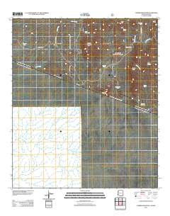
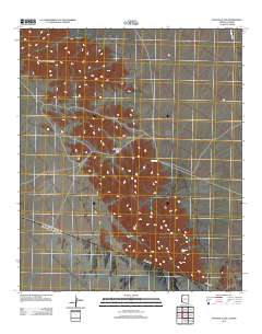
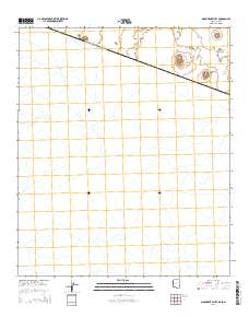
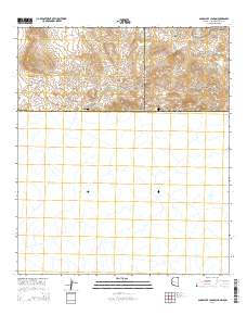
Layered GeoPDF 7.5 Minute Quadrangle Map. Layers of geospatial data include orthoimagery, roads, grids, geographic names, elevation contours, hydrography, and other selected map features.
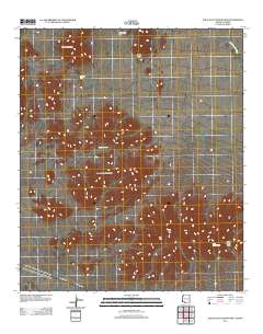
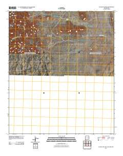
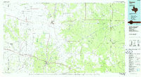
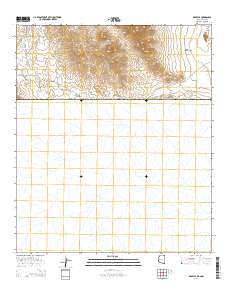
Layered GeoPDF 7.5 Minute Quadrangle Map. Layers of geospatial data include orthoimagery, roads, grids, geographic names, elevation contours, hydrography, and other selected map features.
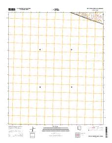
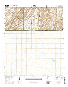
Layered GeoPDF 7.5 Minute Quadrangle Map. Layers of geospatial data include orthoimagery, roads, grids, geographic names, elevation contours, hydrography, and other selected map features.
The Minute 319/323 ScienceBase community exists to share data regarding the 2014 pulse flow experiment in the Colorado River delta. Some content, such as provisional data, is not publicly available. Please contact Jeff Kennedy (jkennedy@usgs.gov) for access.
Categories: Data;
Types: Map Service,
OGC WFS Layer,
OGC WMS Layer,
OGC WMS Service;
Tags: Arizona,
Baja California,
Colorado River,
Ecology,
Hydrology,
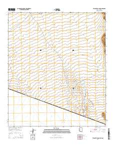
Layered GeoPDF 7.5 Minute Quadrangle Map. Layers of geospatial data include orthoimagery, roads, grids, geographic names, elevation contours, hydrography, and other selected map features.
Layered GeoPDF 7.5 Minute Quadrangle Map. Layers of geospatial data include orthoimagery, roads, grids, geographic names, elevation contours, hydrography, and other selected map features.
Layered GeoPDF 7.5 Minute Quadrangle Map. Layers of geospatial data include orthoimagery, roads, grids, geographic names, elevation contours, hydrography, and other selected map features.
Layered GeoPDF 7.5 Minute Quadrangle Map. Layers of geospatial data include orthoimagery, roads, grids, geographic names, elevation contours, hydrography, and other selected map features.
Layered GeoPDF 7.5 Minute Quadrangle Map. Layers of geospatial data include orthoimagery, roads, grids, geographic names, elevation contours, hydrography, and other selected map features.
Layered GeoPDF 7.5 Minute Quadrangle Map. Layers of geospatial data include orthoimagery, roads, grids, geographic names, elevation contours, hydrography, and other selected map features.
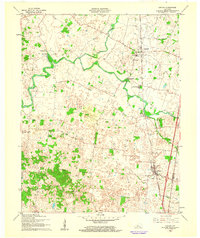
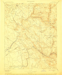
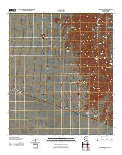
USGS Historical Quadrangle in GeoPDF.
USGS Historical Quadrangle in GeoPDF.
USGS Historical Quadrangle in GeoPDF.
This dataset contains data used in the associated publication in the International Journal of Remote Sensing. The geodatabase contains four feature classes: AOI, MajorZone, MinorZone, and Green2007. Publication can be found at https://doi.org/10.1080/01431161.2018.1437297. Publication abstract: Watershed restoration efforts seek to rejuvenate vegetation, biological diversity, and land productivity at Cienega San Bernardino, an important wetland in southeastern Arizona and northern Sonora, Mexico. Rock detention and earthen berm structures were built on the Cienega San Bernardino over the course of four decades, beginning in 1984 and continuing to the present. Previous research findings show that restoration supports...
These data were compiled for evaluating plant water use, or river-reach level evapotranspiration (ET) data, in the riparian corridor of the Colorado River delta as specified under Minute 319 of the 1944 Water Treaty. The seven reach areas from the Northerly International Boundary (NIB) to the end of the delta at the Sea of Cortez were defined for research activities. Also, these seven reaches are being monitored under Minute 323 of the 1944 Water Treaty. Additionally, these data were compiled for evaluating restoration-level data in Reach 2 and Reach 4, as specified under Minute 323 of the 1944 Water Treaty. Objectives of our study were to measure the peak growing season evapotranspiration (ET) for the average of...
Layered GeoPDF 7.5 Minute Quadrangle Map. Layers of geospatial data include orthoimagery, roads, grids, geographic names, elevation contours, hydrography, and other selected map features.
Layered GeoPDF 7.5 Minute Quadrangle Map. Layers of geospatial data include orthoimagery, roads, grids, geographic names, elevation contours, hydrography, and other selected map features.
Layered GeoPDF 7.5 Minute Quadrangle Map. Layers of geospatial data include orthoimagery, roads, grids, geographic names, elevation contours, hydrography, and other selected map features.
Layered GeoPDF 7.5 Minute Quadrangle Map. Layers of geospatial data include orthoimagery, roads, grids, geographic names, elevation contours, hydrography, and other selected map features.
|

|
