Filters: Tags: United States of America (X)
2,532 results (458ms)|
Filters
Date Range
Extensions (Less)
Types (Less)
Contacts (Less)
Categories (Less)
Tag Types
|
(Hyperlink to Official Landing Page for Geospatial Fabric products) The Geospatial Fabric provides a consistent, documented, and topologically connected set of spatial features that create an abstracted stream/basin network of features useful for hydrologic modeling.The GIS vector features contained in this Geospatial Fabric (GF) data set cover the lower 48 U.S. states, Hawaii, and Puerto Rico. Four GIS feature classes are provided for each Region: 1) the Region outline ("one"), 2) Points of Interest ("POIs"), 3) a routing network ("nsegment"), and 4) Hydrologic Response Units ("nhru"). A graphic showing the boundaries for all Regions is provided at http://dx.doi.org/doi:10.5066/F7542KMD. These Regions are identical...
This metadata is for the vegetation and land-use geo-spatial database for Minidoka National Historic Site (MIIN), Idaho and surrounding areas. This project is authorized as part of the USGS/NPS Vegetation Classification and Mapping Program. The program is being administered by the National Park Service's (NPS) Inventory and Monitoring Program in conjunction with the Biological Resources Division (BRD) of the United States Geological Survey (USGS). This mapping effort was performed by Cogan Technology Inc. (CTI) as a free service to the National Park Service.
This data release contains the boundaries of assessment units and input data for the assessment of continuous oil and gas resources in the Delle Phosphatic Member of the Mississippian Woodman Formation, western Utah, eastern Nevada and southeastern Idaho. The Assessment Unit is the fundamental unit used in the National Assessment Project for the assessment of undiscovered oil and gas resources. The Assessment Unit is defined within the context of the higher-level Total Petroleum System. The Assessment Unit is shown herein as a geographic boundary interpreted, defined, and mapped by the geologist responsible for the province and incorporates a set of known or postulated oil and (or) gas accumulations sharing similar...
This data release contains the boundaries of assessment units and input data for the assessment of undiscovered gas hydrate resources on the north slope of Alaska. The Assessment Unit is the fundamental unit used in the National Assessment Project for the assessment of undiscovered oil and gas resources. The Assessment Unit is defined within the context of the higher-level Total Petroleum System. The Assessment Unit is shown herein as a geographic boundary interpreted, defined, and mapped by the geologist responsible for the province and incorporates a set of known or postulated oil and (or) gas accumulations sharing similar geologic, geographic, and temporal properties within the Total Petroleum System, such as...
Categories: Data;
Types: Downloadable,
Map Service,
OGC WFS Layer,
OGC WMS Layer,
Shapefile;
Tags: Assessment Unit,
Continuous Assessment Unit,
Earth Science,
Economic geology,
Energy Resources,
These data are high-resolution bathymetry (lake bottom elevation) in a gridded XYZ format, generated from hydrographic surveys of Morse and Geist Reservoirs in April and May of 2016. Hydrographic data were collected using a multibeam echo-sounder (MBES) with integrated inertial navigation solution (INS) mounted on a marine survey vessel. Data were collected as the vessel traversed the lake along survey lines distributed throughout the area. Data collection software integrated and stored the depth data from the multibeam sonar and the horizontal and vertical position and attitude data of the vessel from the INS in real time. In the shallow areas, additional data were collected with an acoustic Doppler current profiler...
These data are high-resolution bathymetry (lake bottom elevation) in a gridded XYZ format, generated from hydrographic surveys of Morse Reservoir in May 2016. Hydrographic data were collected using a multibeam echo-sounder (MBES) with integrated inertial navigation solution (INS) mounted on a marine survey vessel. Data were collected as the vessel traversed the lake along survey lines distributed throughout the area. Data collection software integrated and stored the depth data from the multibeam sonar and the horizontal and vertical position and attitude data of the vessel from the INS in real time. In the shallow areas, additional data were collected with an acoustic Doppler current profiler (ADCP) and a real-time...
Categories: Data;
Tags: Hamilton County,
Indiana,
Morse Reservoir,
Noblesville,
United States of America,
This data release contains the boundaries of assessment of undiscovered continuous tight-gas resources in the Mesaverde Group and Wasatch Formation, Uinta-Piceance Province, Utah and Colorado. The Assessment Unit is the fundamental unit used in the National Assessment Project for the assessment of undiscovered oil and gas resources. The Assessment Unit is defined within the context of the higher-level Total Petroleum System. The Assessment Unit is shown herein as a geographic boundary interpreted, defined, and mapped by the geologist responsible for the province and incorporates a set of known or postulated oil and (or) gas accumulations sharing similar geologic, geographic, and temporal properties within the Total...
Categories: Data;
Types: Downloadable,
Map Service,
OGC WFS Layer,
OGC WMS Layer,
Shapefile;
Tags: Assessment Unit,
Continuous Assessment Unit,
Earth Science,
Energy Resources,
Energy Resources,
Climatic data are from Daymet (Thornton and others, 2016) and include maximum daily air temperature and total daily precipitation on a 1-km resolution; these data replace and update the original climate data used for the tool (Williamson and others, 2009).

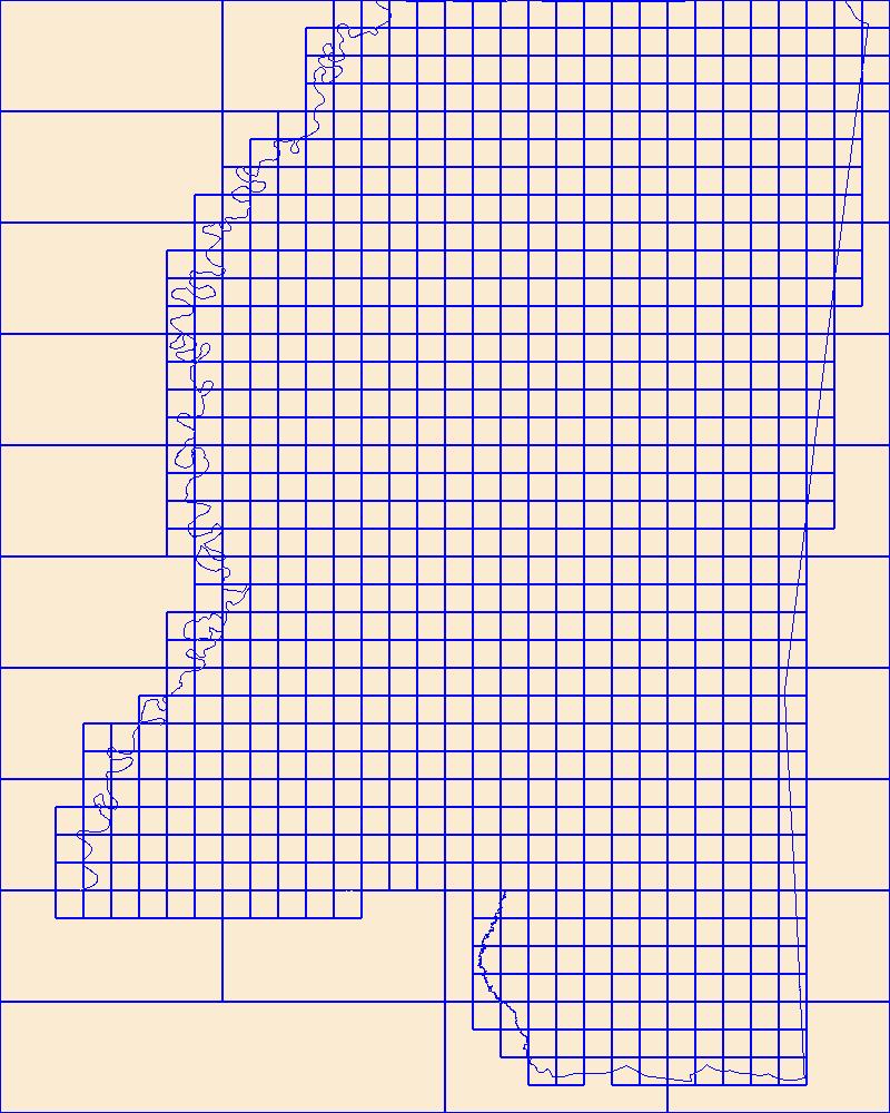
This data represents the map extent for current and historical USGS topographic maps for the United States and Territories, including 1 X 2 Degree, 1 X 1 Degree, 30 X 60 Minute, 15 X 15 Minute, 7.5 X 7.5 Minute, and 3.75 X 3.75 Minute. The grid was generated using ESRI ArcInfo GIS software.
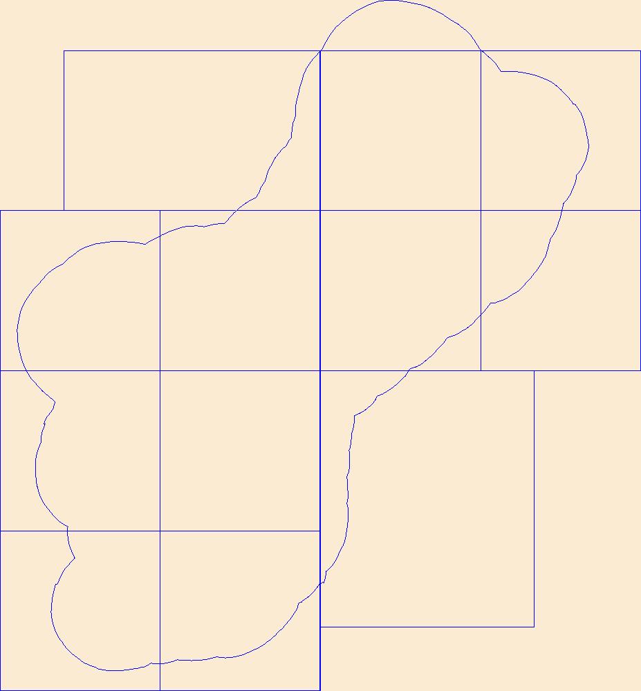
This data represents the map extent for current and historical USGS topographic maps for the United States and Territories, including 1 X 2 Degree, 1 X 1 Degree, 30 X 60 Minute, 15 X 15 Minute, 7.5 X 7.5 Minute, and 3.75 X 3.75 Minute. The grid was generated using ESRI ArcInfo GIS software.
This data represents the map extent for current and historical USGS topographic maps for the United States and Territories, including 1 X 2 Degree, 1 X 1 Degree, 30 X 60 Minute, 15 X 15 Minute, 7.5 X 7.5 Minute, and 3.75 X 3.75 Minute. The grid was generated using ESRI ArcInfo GIS software.
The geographic information system (GIS) format spatial data set of vegetation for Apostle Islands National Lakeshore (APIS) was created for the National Park Service (NPS) Vegetation Inventory Program (VIP). The APIS covers an area of approximately 28,972 ha (71,591 acres). The map classification scheme used to create the vegetation data set is designed to represent local vegetation types at the finest level possible using the National Vegetation Classification (NVC) Standard (Vr 2). Physiognomic information was also recorded, including height (woody vegetation), canopy density, and coverage patterns. The vegetation data set was developed by interpreting aerial photographs collected in 2004 and extensive field surveys....
This data release provides digital flight line data for a high-resolution airborne magnetic survey over parts of northwestern Minnesota near the town of Mentor. The airborne survey was funded by the Earth Mapping Resources Initiative and was designed to meet complementary needs related to geologic mapping and characterization of mineral resource potential. A total of 40,139-line km of magnetic data were acquired over an irregular-shaped area of 9140 km2. Data were collected from a fixed-wing aircraft flown at mean terrain clearance of 120 meters (m) above topography along N-S flight lines spaced at 250 m intervals. Tie lines were flown in an E-W direction every 2500 m. Data were collected by EDCON-PRJ and NV5 Geospatial,...
Categories: Data;
Types: Downloadable,
GeoTIFF,
Map Service,
Raster;
Tags: Becker County,
Clay County,
Clearwater River,
Earth Mapping Resources Initiative,
EarthMRI,
This data release provides digital flight-line and gridded data for a high-resolution airborne magnetic and radiometric survey over the region surrounding the Wet Mountains of southern Colorado, including parts of Custer and Fremont Counties. Data for this survey were collected by Sander Geophysics Limited International (SGL) under contract with the USGS. The survey was flown in June and July of 2021 using a helicopter equipped with a magnetometer mounted in a stinger extending from the nose of the aircraft and a gamma-ray spectrometer stowed onboard. The helicopter pilots followed pre-planned flight paths in a grid-like pattern, with east-west lines spaced 150 meters apart and north-south lines spaced 1,000 meters...
Categories: Data;
Types: Downloadable,
Map Service,
OGC WFS Layer,
OGC WMS Layer,
Shapefile;
Tags: "Mineral Resources"],
AASG,
Antelope Creek,
Arkansas River,
Association of State Geologists,
Digital flood-inundation maps for a 3.4-mile reach of Fourmile Creek at Silver Grove, Kentucky (Ky.), were created by the U.S. Geological Survey (USGS) in cooperation with the City of Silver Grove and the U.S. Army Corps of Engineers Louisville District. Because the City of Silver Grove is subject to flooding from Fourmile Creek and the Ohio River (backwater flooding up Fourmile Creek), a set of flood-inundation maps was created for each flooding source independently and for combinations of possible flooding scenarios. The flood-inundation maps depict estimates of the areal extent and depth of flooding corresponding to a range of different gage heights (gage height is commonly referred to as “stage,” or the water-surface...
Ecological models facilitate the evaluation and assessment of alternative approaches to restore the Greater Everglades ecosystem. Joint Ecosystem Modeling (JEM) provides ecological models tailored to address specific management issues. The multi-agency REstoration, COordination and VERification (RECOVER) science team uses ecological models (i.e., ecological planning tools) to evaluate the potential effects of projects in the Comprehensive Everglades Restoration Plan (CERP) on natural resources. The planning agencies and bureaus involved in CERP desire to also use these ecological planning tools for the evaluation of alternative water control plans to be performed by the Lake Okeechobee System Operating Manual (LOSOM)...
Ecological models facilitate the evaluation and assessment of alternative approaches to restore the Greater Everglades ecosystem. Joint Ecosystem Modeling (JEM) provides ecological models tailored to address specific management issues. The multi-agency REstoration, COordination and VERification (RECOVER) science team uses ecological models (i.e., ecological planning tools) to evaluate the potential effects of projects in the Comprehensive Everglades Restoration Plan (CERP) on natural resources. The planning agencies and bureaus involved in CERP desire to also use these ecological planning tools for the evaluation of alternative water control plans to be performed by the Lake Okeechobee System Operating Manual (LOSOM)...

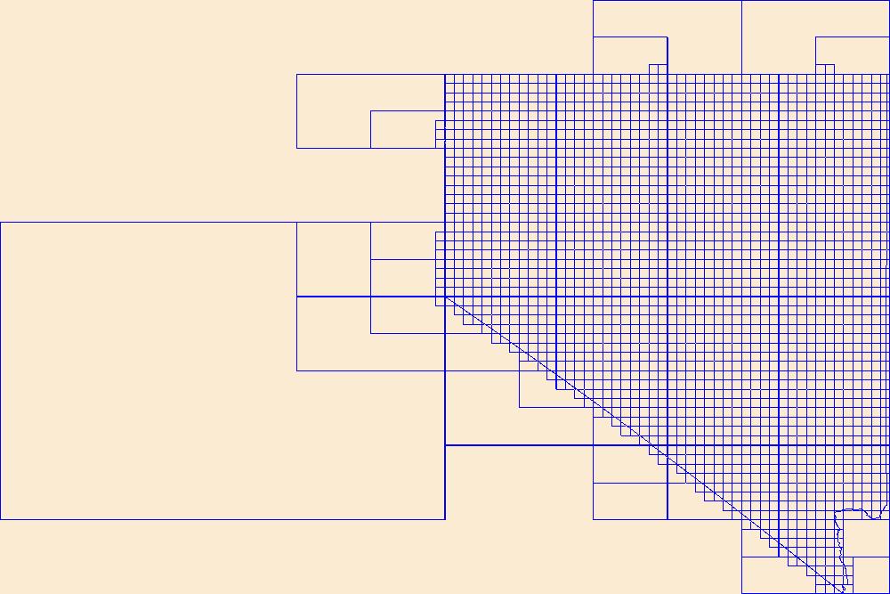
This data represents the map extent for current and historical USGS topographic maps for the United States and Territories, including 1 X 2 Degree, 1 X 1 Degree, 30 X 60 Minute, 15 X 15 Minute, 7.5 X 7.5 Minute, and 3.75 X 3.75 Minute. The grid was generated using ESRI ArcInfo GIS software.
This data represents the map extent for current and historical USGS topographic maps for the United States and Territories, including 1 X 2 Degree, 1 X 1 Degree, 30 X 60 Minute, 15 X 15 Minute, 7.5 X 7.5 Minute, and 3.75 X 3.75 Minute. The grid was generated using ESRI ArcInfo GIS software.

This data represents the map extent for current and historical USGS topographic maps for the United States and Territories, including 1 X 2 Degree, 1 X 1 Degree, 30 X 60 Minute, 15 X 15 Minute, 7.5 X 7.5 Minute, and 3.75 X 3.75 Minute. The grid was generated using ESRI ArcInfo GIS software.
|

|
