Filters: Tags: {"type":"Place"} (X) > Categories: Collection (X)
Folder: ROOT ( Show direct descendants )
5 results (13ms)
LocationFilters
Date Range
Extensions Types Contacts
Categories Tag Schemes Tags (with Type=Place ) |

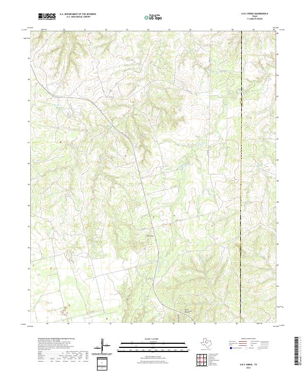
Layered geospatial PDF 7.5 Minute Quadrangle Map. Layers of geospatial data include orthoimagery, roads, grids, geographic names, elevation contours, hydrography, boundaries, and other selected map features. This map depicts geographic features on the surface of the earth. One intended purpose is to support emergency response at all levels of government. The geospatial data in this map are from selected National Map data holdings and other government sources.
Categories: Collection;
Types: Map Service,
OGC WFS Layer,
OGC WMS Layer,
OGC WMS Service;
Tags: Public Land Survey System,
U.S. National Grid,
US,
USGS:6d94af68-1f05-4f9e-9b5a-63f7a05d258b,
United States,
This USGS Data Release represents geospatial and tabular data for the Denali Sampling Project. The data release was produced in compliance with the new 'open data' requirements as a way to make the scientific products associated with USGS research efforts and publications available to the public. The dataset consists of 4 separate items: 1. Sample Site Locations (Vector GIS dataset) 2. Sample Transects (Vector GIS dataset) 3. Final Index Score Output (Raster GIS dataset) 4. Sample Site Recordings - Finalized (Tabular dataset) These data support the following publication: Ignizio, D.A., 2015, Sample associated publication: U.S. Geological Survey Open-File Report 2016–xxxx, xx p., http://dx.doi.org/10.3133/ofr2015xxxx.
Categories: Collection;
Tags: Alaska,
Denali National Park,
National Park Survey,
Sampling measurements,
Transect,
Earthquake-triggered ground-failure, such as landsliding and liquefaction, can contribute significantly to losses, but our current ability to accurately include them in earthquake hazard analyses is limited. The development of robust and transportable models requires access to numerous inventories of ground failure triggered by earthquakes that span a broad range of terrains, shaking characteristics, and climates. We present an openly accessible, centralized earthquake-triggered ground-failure inventory repository in the form of a ScienceBase Community to provide open access to these data, and help accelerate progress. The Community hosts digital inventories created by both USGS and non-USGS authors. We present...
Categories: Collection,
Data;
Tags: Earthquake,
Earthquake Hazards,
GHSC,
GIS,
Geologic Hazards Science Center,
This database contains a comprehensive inventory of geologic (coral, coral reef, limestone, and sediment) cores and samples collected, analyzed, published, and/or archived by, or in collaboration with, the U.S. Geological Survey St. Petersburg Coastal and Marine Science Center (USGS SPCMSC). The SPCMSC Geologic Core and Sample Database includes geologic cores and samples collected beginning in the 1970s to present day, from study sites across the world. This database can be accessed through the CoreViewer 3.0 ArcOnline web mapping application, linked below. A copy of the data can also be downloaded from the web mapping application and the metadata is accessible through a link in the header of the application, as...
Categories: Collection,
Data;
Tags: Alabama,
Atlantic Ocean,
Bahamas,
Belize,
Biological Collection,

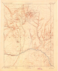
USGS Historical Quadrangle in GeoPDF. The USGS Historical Quadrangle Scanning Project (HQSP) is scanning all scales and all editions of topographic maps published by the U.S. Geological Survey (USGS) since the inception of the topographic mapping program in 1884.
Categories: Collection;
Types: Citation,
Map Service,
OGC WFS Layer,
OGC WMS Layer,
OGC WMS Service;
Tags: Public Land Survey System,
U.S. National Grid,
US,
USGS:bb7b145f-8d7f-405b-96ae-348d61172951,
United States,
|

|