Filters: Tags: CONGO (X)
9 results (53ms)|
Filters
Date Range
Extensions Types
Contacts
Categories Tag Types Tag Schemes |
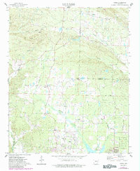
USGS Historical Quadrangle in GeoPDF.
This dataset describes mercury (Hg) stable isotope values in fish dorsal muscle from different freshwater environments across the globe. Fish were collected at numerous field sites in North America, South and Central America, Africa, and Asia from 2006-2020. Sub-samples were provided by cooperators to the U.S. Geological Survey Mercury Research Laboratory and the University of Wisconsin for mercury stable isotope analysis. Samples were analyzed for mercury stable isotopes from 2017-2021. These specimens represent multiple trophic levels and body sizes from different food webs and when adequate mass was available, multiple species from the same food web were examined. Cooperators include, but are not limited to:...
This data release contains the boundaries of assessment units, assessment input data, and resulting fact sheet data tables for the assessment of undiscovered oil and gas resources in the presalt reservoirs of the West-Central Coastal Province of Africa. The Assessment Unit is the fundamental unit used in the National and Global Oil and Gas Assessment Project for the assessment of undiscovered oil and gas resources. The Assessment Unit is defined within the context of the higher-level Total Petroleum System. The Assessment Unit is shown herein as a geographic boundary interpreted, defined, and mapped by the geologist responsible for the province and incorporates a set of known or postulated oil and (or) gas accumulations...
Categories: Data;
Types: Downloadable,
Map Service,
OGC WFS Layer,
OGC WMS Layer,
Shapefile;
Tags: Angola,
Assessment Unit,
Cameroon,
Congo,
Congo Basin Presalt Reservoirs,
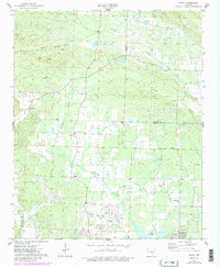
USGS Historical Quadrangle in GeoPDF.
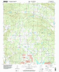
USGS Historical Quadrangle in GeoPDF.
Fish collected for taxonomic and systematic purposes are often preserved and then archived in museum collections. Preserved fish are commonly first fixed in a formalin solution and then transferred to ethanol for long-term storage. The wet preservation method can potentially introduce mercury (Hg) contamination or unintentionally extract Hg from tissue. An experiment was designed to test the utility of museum preserved fishes in reconstructing spatiotemporal trends in methylmercury (MeHg) concentration and Hg stable isotope ratios, which is used to trace Hg sources to fishes. Wet preserved fish specimens from the Congo River and river basins within Gabon were subsampled from archives at the the Royal Museum of Africa...
Categories: Data;
Tags: Congo,
Environmental Health,
Gabon,
Minamata Convention,
USGS Science Data Catalog (SDC),
Compilation of Geospatial Data (GIS) for the Mineral Industries and Related Infrastructure of Africa
This geodatabase reflects the U.S. Geological Survey’s (USGS) ongoing commitment to its mission of understanding the nature and distribution of global mineral commodity supply chains by updating and publishing the georeferenced locations of mineral commodity production and processing facilities, mineral exploration and development sites, and mineral commodity exporting ports in Africa. The geodatabase and geospatial data layers serve to create a new geographic information product in the form of a geospatial portable document format (PDF) map. The geodatabase contains data layers from USGS, foreign governmental, and open-source sources as follows: (1) mineral production and processing facilities, (2) mineral exploration...
Bottom simulating reflections (BSRs) are seismic features that are imaged in marine sediments using high-energy, impulsive seismic sources such as air guns or generator-injector guns. BSRs often cut across sediment stratigraphy and are interpreted as marking the deepest depth at which gas hydrate can exist. Gas hydrate is a naturally occurring and widely distributed frozen form of water and gas (usually methane) stable at low temperatures (up to about 25 degrees Celsius [°C]) and intermediate pressures (those that usually correspond to greater than 500 meters water depth). BSRs have been mapped in all the world’s oceans, in inland seas (such as the Black Sea), and in Lake Baikal in Russia. This data release consists...
Categories: Data;
Types: Map Service,
OGC WFS Layer,
OGC WMS Layer,
OGC WMS Service;
Tags: Alaska,
Amazonia,
Antarctica,
Arctic,
Argentina,
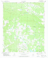
USGS Historical Quadrangle in GeoPDF.
|

|
