Filters: Tags: Little River (X)
103 results (25ms)|
Filters
Date Range
Types Contacts
Categories Tag Types Tag Schemes |
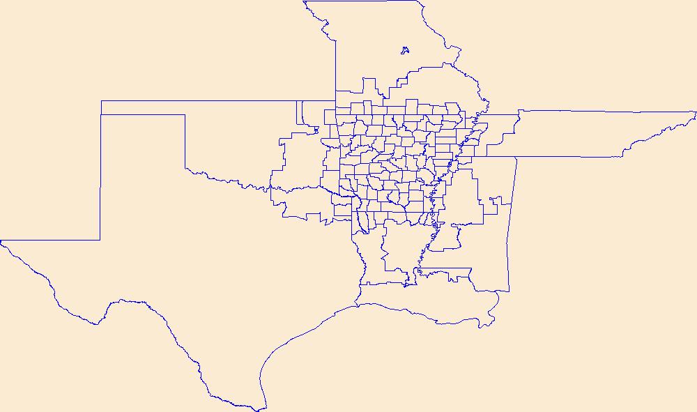
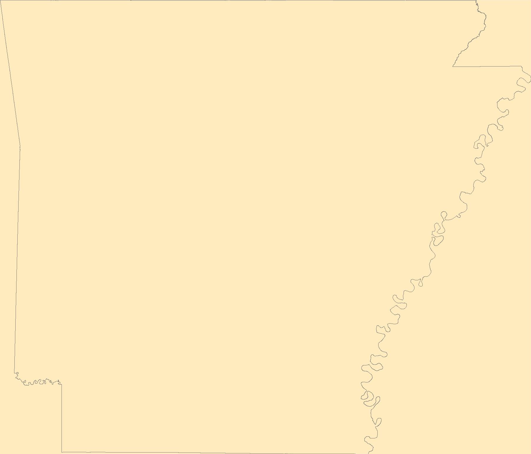
Geospatial data is comprised of government boundaries.
Layers of geospatial data include roads, airports, trails, and railroads.

The Geographic Names Information System (GNIS) is the Federal standard for geographic nomenclature. The U.S. Geological Survey developed the GNIS for the U.S. Board on Geographic Names, a Federal inter-agency body chartered by public law to maintain uniform feature name usage throughout the Government and to promulgate standard names to the public. The GNIS is the official repository of domestic geographic names data; the official vehicle for geographic names use by all departments of the Federal Government; and the source for applying geographic names to Federal electronic and printed products of all types.
Freshwater mussels (Unionidae) are among the most imperiled groups of organisms in the world. Unionids are plagued with a lack of basic information regarding species distributions, life history characteristics, and ecological and biological requirements. We assessed the influence of hydrologic factors on the occurrence of the Suwannee Moccasinshell, Medionidus walkeri, a federally threatened freshwater mussel species endemic to the Suwannee River basin in Georgia and Florida. We also assessed the influence of survey effort on detection of M. walkeri during field surveys. All current (2013-2016) mussel survey records in the Suwannee River Basin were compiled, and cumulative discharge contributed by upstream springs...
Categories: Data;
Tags: Conservation,
Distribution,
Hydrology,
Ichetucknee River,
Imperiled species,
We provide genetic and distribution data for the Louisiana Pigtoe, Pleurobema riddellii, to guide decisions related to federal protection for the species under the U.S. Endangered Species Act. Our final dataset includes 125 COI sequences generated as part of our study representing P. riddellii from eight North American river basins. This includes the COI sequence we generated from a museum specimen collected from the Trinity River in the late 1900s, which is the first genetic confirmation of P. riddellii in the Trinity River basin. Also included are sequences from specimens initially identified as Fusconaia cerina (n=3) Fusconaia flava (n=1), Fusconaia sp. (n=5), Pleurobema sintoxia (n=10), and Pustulosa pustulosa...
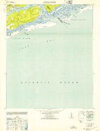
USGS Historical Quadrangle in GeoPDF.
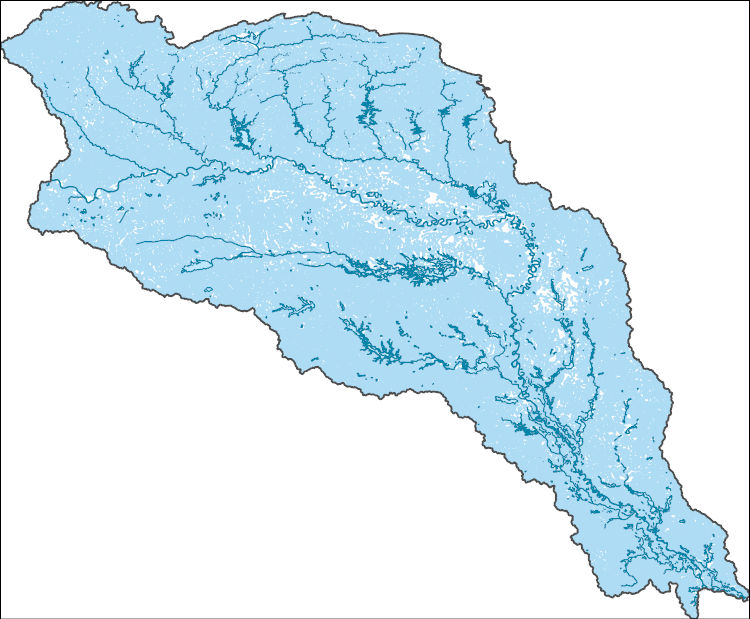
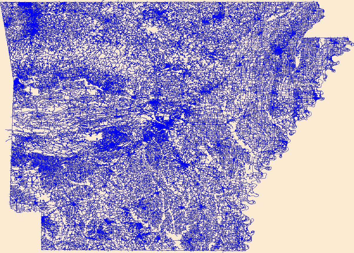
The National Hydrography Dataset (NHD) is a feature-based database that interconnects and uniquely identifies the stream segments or reaches that make up the nation's surface water drainage system. NHD data was originally developed at 1:100,000-scale and exists at that scale for the whole country. This high-resolution NHD, generally developed at 1:24,000/1:12,000 scale, adds detail to the original 1:100,000-scale NHD. (Data for Alaska, Puerto Rico and the Virgin Islands was developed at high-resolution, not 1:100,000 scale.) Local resolution NHD is being developed where partners and data exist. The NHD contains reach codes for networked features, flow direction, names, and centerline representations for areal water...
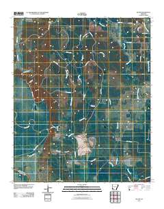
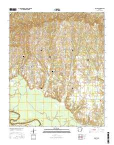
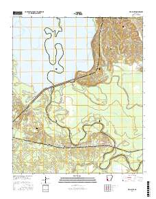
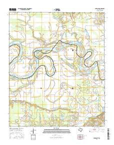
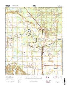
Layered GeoPDF 7.5 Minute Quadrangle Map. Layers of geospatial data include orthoimagery, roads, grids, geographic names, elevation contours, hydrography, and other selected map features.
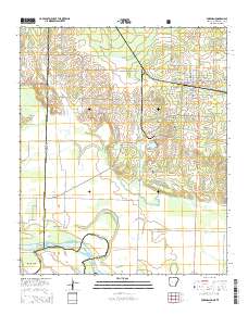
Layered GeoPDF 7.5 Minute Quadrangle Map. Layers of geospatial data include orthoimagery, roads, grids, geographic names, elevation contours, hydrography, and other selected map features.
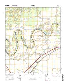
Layered GeoPDF 7.5 Minute Quadrangle Map. Layers of geospatial data include orthoimagery, roads, grids, geographic names, elevation contours, hydrography, and other selected map features.
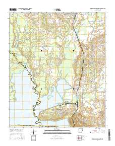
Layered GeoPDF 7.5 Minute Quadrangle Map. Layers of geospatial data include orthoimagery, roads, grids, geographic names, elevation contours, hydrography, and other selected map features.
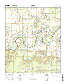
Layered GeoPDF 7.5 Minute Quadrangle Map. Layers of geospatial data include orthoimagery, roads, grids, geographic names, elevation contours, hydrography, and other selected map features.
Layered geospatial PDF Map. Layers of geospatial data include orthoimagery, roads, grids, geographic names, elevation contours, hydrography, and other selected map features.
The Geographic Names Information System (GNIS) is the Federal standard for geographic nomenclature. The U.S. Geological Survey developed the GNIS for the U.S. Board on Geographic Names, a Federal inter-agency body chartered by public law to maintain uniform feature name usage throughout the Government and to promulgate standard names to the public. The GNIS is the official repository of domestic geographic names data; the official vehicle for geographic names use by all departments of the Federal Government; and the source for applying geographic names to Federal electronic and printed products of all types.

The Geographic Names Information System (GNIS) is the Federal standard for geographic nomenclature. The U.S. Geological Survey developed the GNIS for the U.S. Board on Geographic Names, a Federal inter-agency body chartered by public law to maintain uniform feature name usage throughout the Government and to promulgate standard names to the public. The GNIS is the official repository of domestic geographic names data; the official vehicle for geographic names use by all departments of the Federal Government; and the source for applying geographic names to Federal electronic and printed products of all types.
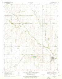
USGS Historical Quadrangle in GeoPDF.
Layered geospatial PDF Map. Layers of geospatial data include orthoimagery, roads, grids, geographic names, elevation contours, hydrography, and other selected map features.
Layered GeoPDF 7.5 Minute Quadrangle Map. Layers of geospatial data include orthoimagery, roads, grids, geographic names, elevation contours, hydrography, and other selected map features.
Layered geospatial PDF Map. Layers of geospatial data include orthoimagery, roads, grids, geographic names, elevation contours, hydrography, and other selected map features.
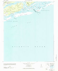
USGS Historical Quadrangle in GeoPDF.
|

|
