Filters: Tags: New York (X)
10,176 results (77ms)|
Filters
Date Range
Extensions (Less)
Types (Less)
Contacts (Less)
Categories (Less)
Tag Types
|
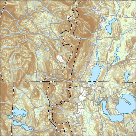
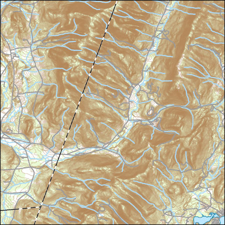
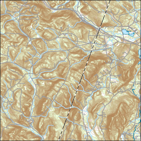
Layers of geospatial data include contours, boundaries, land cover, hydrography, roads, transportation, geographic names, structures, and other selected map features.
Types: Citation;
Tags: 7.5 x 7.5 minute,
7.5 x 7.5 minute,
BerkshireCounty,
ColumbiaCounty,
Combined Vector,
Layers of geospatial data include contours, boundaries, land cover, hydrography, roads, transportation, geographic names, structures, and other selected map features.
Types: Citation;
Tags: 7.5 x 7.5 minute,
7.5 x 7.5 minute,
BerkshireCounty,
ColumbiaCounty,
Combined Vector,
Layers of geospatial data include contours, boundaries, land cover, hydrography, roads, transportation, geographic names, structures, and other selected map features.
Types: Citation;
Tags: 7.5 x 7.5 minute,
7.5 x 7.5 minute,
BerkshireCounty,
ColumbiaCounty,
Combined Vector,
This dataset contains watershed means of estimated percent impervious surfaces for three time periods: 1992, 2002, and 2012. Estimates are based on coefficients derived from comparing land use of the 2012 NAWQA Wall-to-wall Anthropogenic Land-use Trends (NWALT) product to the 2011 National Land Cover Database (NLCD) imperviousness, then applying those coefficients to previous years (1974-2002) of the NWALT dataset.
Categories: Data;
Types: Citation;
Tags: Chesapeake Bay,
Delaware,
District of Columbia,
James River,
Maryland,
Field spikes were prepared at 207 stream and river sites as part of the U.S. Geological Survey (USGS) National Water Quality Assessment (NAWQA) project between December, 2012, and September, 2015. At the field site, a depth-and width-integrated environmental sample was collected, and one subsample of the environmental sample was spiked with a known amount of a spike mixture. Both the spiked subsample ("spike sample") and another subsample ("environmental sample") of the original water sample were analyzed for pesticides at the USGS National Water Quality Laboratory (NWQL) by direct injection liquid chromatography with tandem mass spectrometry (LC-MS/MS), and were used to calculate the spike recovery of each analyte....
The glacial aquifer system of the United States encompasses all or parts of 25 states and is the most widely used supply of drinking water in the Nation (Maupin and Barber, 2005; Maupin and Arnold, 2010). A series of seven raster data sets were derived from a database of water-well drillers' records that was compiled in partial fulfillment of the goals of the U.S. Geological Survey’s Groundwater Availability and Use assessment program (U.S. Geological Survey, 2002). They contain hydrogeologic information for areas of the U.S. that are north of the southern limit of Pleistocene glaciation, including the total thickness of glacial deposits, thickness of coarse-grained sediment within the glacial deposits, specific-capacity...
"NewEngland_pkflows.PRT" is a text file that contains results of flood-frequency analysis of annual peak flows from 186 selected streamflow gaging stations (streamgages) operated by the U.S. Geological Survey (USGS) in the New England region (Maine, Connecticut, Massachusetts, Rhode Island, New York, New Hampshire, and Vermont). Only streamgages in the region that were also in the USGS "GAGES II" database (https://water.usgs.gov/GIS/metadata/usgswrd/XML/gagesII_Sept2011.xml) were considered for use in the study. The file was generated by combining PeakFQ output (.PRT) files created using version 7.0 of USGS software PeakFQ (https://water.usgs.gov/software/PeakFQ/; Veilleux and others, 2014) to conduct flood-frequency...

This map layer consists of federally owned or administered lands of the United States, Puerto Rico, and the U.S. Virgin Islands. For the most part, only areas of 320 acres or more are included; some smaller areas deemed to be important or significant are also included. There may be private inholdings within the boundaries of Federal lands in this map layer. Some established Federal lands which are larger than 320 acres are not included in this map layer, because their boundaries were not available from the owning or administering agency.
Layers of geospatial data include contours, boundaries, land cover, hydrography, roads, transportation, geographic names, structures, and other selected map features.
Layers of geospatial data include contours, boundaries, land cover, hydrography, roads, transportation, geographic names, structures, and other selected map features.
Types: Citation;
Tags: 7.5 x 7.5 minute,
7.5 x 7.5 minute,
Combined Vector,
Combined Vector,
Combined Vector,
The Health and Safety Laboratory (HASL) of the Atomic Energy Commission has provided much of the data on exposure assessment in uranium contractor facilities and on fallout radionuclides in the environment. The research performed in the beryllium industry 1947-1949 led to establishment of the protection standards that exist to this day. This laboratory was formed in 1947, as part of the Medical Division of the New York Operations Office, directed by B.S. Wolf. HASL was directed initially by Merril Eisenbud and subsequently by S. Allen Lough and John Harley. The history of the Laboratory is traced from its beginning, and the projects described that led to HASL's reputation as a trouble-shooting arm of the Atomic...
Categories: Publication;
Types: Citation;
Tags: Atomic Energy Commission,
Health,
Laboratory,
New York,
Office,
This shapefile contains landscape factors representing human disturbances summarized to local and network catchments of river reaches for the state of South Dakota. This dataset is the result of clipping the feature class 'NFHAP 2010 HCI Scores and Human Disturbance Data for the Conterminous United States linked to NHDPLUSV1.gdb' to the state boundary of South Dakota. Landscape factors include land uses, population density, roads, dams, mines, and point-source pollution sites. The source datasets that were compiled and attributed to catchments were identified as being: (1) meaningful for assessing fish habitat; (2) consistent across the entire study area in the way that they were assembled; (3) representative of...
Categories: Data;
Types: ArcGIS REST Map Service,
Downloadable,
Map Service,
OGC WFS Layer,
OGC WMS Layer,
Shapefile;
Tags: Anthropogenic factors,
Aquatic habitats,
Atlantic Coast FHP,
Catchment areas,
Connecticut,
This dataset provides timeseries data on water quality and quantity, as collected or computed from outside sources. The format is many tables with one row per time series observation (1 tab-delimited file per site-variable combination, 1 zip file per site). This compilation of data is intended for use in estimating or interpreting metabolism. Sites were included if they met the initial criteria of having at least 100 dissolved oxygen observations and one of the accepted NWIS site types ('ST','ST-CA','ST-DCH','ST-TS', or 'SP'). This dataset is part of a larger data release of metabolism model inputs and outputs for 356 streams and rivers across the United States (https://doi.org/10.5066/F70864KX). The complete release...
This shapefile contains landscape factors representing human disturbances summarized to local and network catchments of river reaches for the state of Georgia. This dataset is the result of clipping the feature class 'NFHAP 2010 HCI Scores and Human Disturbance Data for the Conterminous United States linked to NHDPLUSV1.gdb' to the state boundary of Georgia. Landscape factors include land uses, population density, roads, dams, mines, and point-source pollution sites. The source datasets that were compiled and attributed to catchments were identified as being: (1) meaningful for assessing fish habitat; (2) consistent across the entire study area in the way that they were assembled; (3) representative of conditions...
Categories: Data;
Types: ArcGIS REST Map Service,
Downloadable,
Map Service,
OGC WFS Layer,
OGC WMS Layer,
Shapefile;
Tags: Anthropogenic factors,
Aquatic habitats,
Atlantic Coast FHP,
Catchment areas,
Connecticut,
This shapefile contains landscape factors representing human disturbances summarized to local and network catchments of river reaches for the state of Louisiana. This dataset is the result of clipping the feature class 'NFHAP 2010 HCI Scores and Human Disturbance Data for the Conterminous United States linked to NHDPLUSV1.gdb' to the state boundary of Louisiana. Landscape factors include land uses, population density, roads, dams, mines, and point-source pollution sites. The source datasets that were compiled and attributed to catchments were identified as being: (1) meaningful for assessing fish habitat; (2) consistent across the entire study area in the way that they were assembled; (3) representative of conditions...
Categories: Data;
Types: ArcGIS REST Map Service,
Downloadable,
Map Service,
OGC WFS Layer,
OGC WMS Layer,
Shapefile;
Tags: Anthropogenic factors,
Aquatic habitats,
Atlantic Coast FHP,
Catchment areas,
Connecticut,
The glacial aquifer system of the United States encompasses all or parts of 25 states and is the most widely used supply of drinking water in the Nation (Maupin and Barber, 2005; Maupin and Arnold, 2010). A series of seven raster data sets were derived from a database of water-well drillers' records that was compiled in partial fulfillment of the goals of the U.S. Geological Survey’s Groundwater Availability and Use assessment program (U.S. Geological Survey, 2002). They contain hydrogeologic information for areas of the U.S. that are north of the southern limit of Pleistocene glaciation, including the total thickness of glacial deposits, thickness of coarse-grained sediment within the glacial deposits, specific-capacity...
This shapefile contains landscape factors representing human disturbances summarized to local and network catchments of river reaches for the Desert Fish Habitat Partnership. This dataset is the result of clipping the feature class 'NFHAP 2010 HCI Scores and Human Disturbance Data for the Conterminous United States linked to NHDPLUSV1.gdb' to the boundary of the Desert Fish Habitat Partnership. Landscape factors include land uses, population density, roads, dams, mines, and point-source pollution sites. The source datasets that were compiled and attributed to catchments were identified as being: (1) meaningful for assessing fish habitat; (2) consistent across the entire study area in the way that they were assembled;...
Categories: Data;
Types: ArcGIS REST Map Service,
Downloadable,
Map Service,
OGC WFS Layer,
OGC WMS Layer,
Shapefile;
Tags: Anthropogenic factors,
Aquatic habitats,
Atlantic Coast FHP,
Catchment areas,
Connecticut,
This Benthic Invertebrate Community Analysis dataset, a conceptual subgroup of the Lake Erie Ecological Investigations (LEEI) dataset, focuses on the benthic invertebrates sampled at Areas of Concern (AOCs) on Lake Erie. Per the Quality Assurance Project Plan (QAPP), the invertebrate samples were taken from sediments remaining from the sediment analysis. Identification of the invertebrates was completed by the same invertebrate taxonomist for both the 1998-2000 evaluation and 1986-87 historical evaluation (Smith et al. 1994) for increased consistency. Oligochaetes were identified to species if possible, chironomids were identified to genus, as adult specimens are needed for specific identification, and other taxa...
This metadata record documents 11 comma delimited tables representing the amount of reported best management practice (BMP) implementation for the years from 1985 to 2014 at three geographic scales: county or land-river modeling segment, River Input Monitoring (RIM) station drainage areas, and the entire Chesapeake Bay Watershed (CBWS). Data originated from the Chesapeake Bay Watershed jurisdictions including Maryland, Pennsylvania, Virginia, Delaware, New York, West Virginia, and the District of Columbia. Data were reported to the Chesapeake Bay Program for an annual review of progress toward meeting nitrogen, phosphorus, and sediment reduction goals.
This shapefile is the official boundary of the Eastern Brook Trout Joint Venture. The boundary was originally developed by the United States Fish and Wildlife Service and was updated in 2013 to reflect revisions from the Eastern Brook Trout Joint Venture, a recognized Fish Habitat Partnership (FHP) of the National Fish Habitat Partnership.
Categories: Data;
Types: ArcGIS REST Map Service,
ArcGIS Service Definition,
Downloadable,
GeoTIFF,
Map Service,
Raster;
Tags: Analytical boundary,
Aquatic habitats,
Boundaries,
EBTJV,
FHP Boundary,
|

|
