Filters: Tags: power (X)
257 results (81ms)|
Filters
Date Range
Extensions (Less) Types (Less)
Contacts (Less)
Categories (Less) Tag Types
|
It is widely recognised that access to and supply of modern energy play a key role in poverty alleviation and sustainable development.The emerging concept of energisation seems to capture this idea, and if implemented in its full complexity it should have multiple beneficial effects. To demonstrate this, an economic model is developed for an urban developmental context, drawing on the theory of urban ecosystems and illustrating energy and waste production and consumption issues with current South African data sets. This new understanding of the concept of energisation is then integrated into a local government energy planning process, by means of a checklist for energy planners, covering 18 aspects that between...
Layered geospatial PDF Map. Layers of geospatial data include orthoimagery, roads, grids, geographic names, elevation contours, hydrography, and other selected map features.
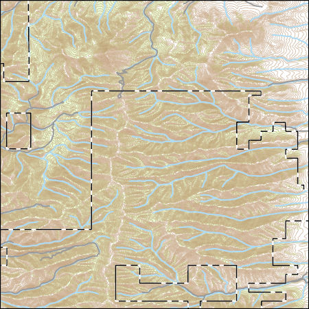
Layered GeoPDF 7.5 Minute Quadrangle Map. Layers of geospatial data include orthoimagery, roads, grids, geographic names, elevation contours, hydrography, and other selected map features.
Layered geospatial PDF Map. Layers of geospatial data include orthoimagery, roads, grids, geographic names, elevation contours, hydrography, and other selected map features.
Layered geospatial PDF Map. Layers of geospatial data include orthoimagery, roads, grids, geographic names, elevation contours, hydrography, and other selected map features.
Layered GeoPDF 7.5 Minute Quadrangle Map. Layers of geospatial data include orthoimagery, roads, grids, geographic names, elevation contours, hydrography, and other selected map features.
Layered GeoPDF 7.5 Minute Quadrangle Map. Layers of geospatial data include orthoimagery, roads, grids, geographic names, elevation contours, hydrography, and other selected map features.
Layered GeoPDF 7.5 Minute Quadrangle Map. Layers of geospatial data include orthoimagery, roads, grids, geographic names, elevation contours, hydrography, and other selected map features.
Layered geospatial PDF Map. Layers of geospatial data include orthoimagery, roads, grids, geographic names, elevation contours, hydrography, and other selected map features.
Layered GeoPDF 7.5 Minute Quadrangle Map. Layers of geospatial data include orthoimagery, roads, grids, geographic names, elevation contours, hydrography, and other selected map features.
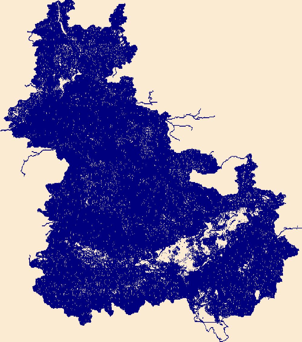
The National Hydrography Dataset (NHD) is a feature-based database that interconnects and uniquely identifies the stream segments or reaches that make up the nation's surface water drainage system. NHD data was originally developed at 1:100,000-scale and exists at that scale for the whole country. This high-resolution NHD, generally developed at 1:24,000/1:12,000 scale, adds detail to the original 1:100,000-scale NHD. (Data for Alaska, Puerto Rico and the Virgin Islands was developed at high-resolution, not 1:100,000 scale.) Local resolution NHD is being developed where partners and data exist. The NHD contains reach codes for networked features, flow direction, names, and centerline representations for areal water...
This dataset is a point coverage of attributes on data location, thickness of the Fire Clay coal zone, and its elevation, in feet. This resource model for the Fire Clay coal zone must be considered provisional, because the correlation of the zone continues to be evaluated in West Virginia. The file is also found as an ASCII Appendix of Chapter F, Disc 1 found elsewhere in Professional Paper 1625-C.
Categories: Data,
pre-SM502.8;
Types: Downloadable,
Map Service,
OGC WFS Layer,
OGC WMS Layer,
Shapefile;
Tags: Appalachians,
BELL County,
BOONE County,
BREATHITT County,
CLAY County,
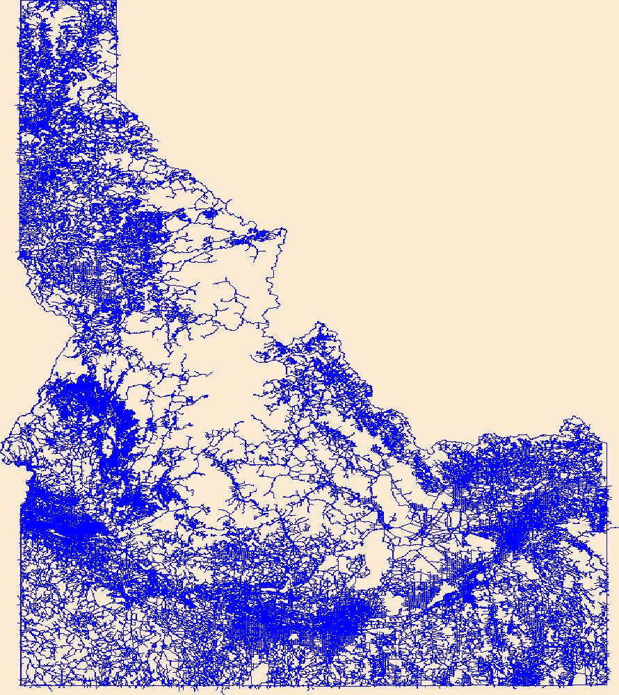
Layers of geospatial data include roads, airports, trails, and railroads.
The National Hydrography Dataset (NHD) is a feature-based database that interconnects and uniquely identifies the stream segments or reaches that make up the nation's surface water drainage system. NHD data was originally developed at 1:100,000-scale and exists at that scale for the whole country. This high-resolution NHD, generally developed at 1:24,000/1:12,000 scale, adds detail to the original 1:100,000-scale NHD. (Data for Alaska, Puerto Rico and the Virgin Islands was developed at high-resolution, not 1:100,000 scale.) Local resolution NHD is being developed where partners and data exist. The NHD contains reach codes for networked features, flow direction, names, and centerline representations for areal water...
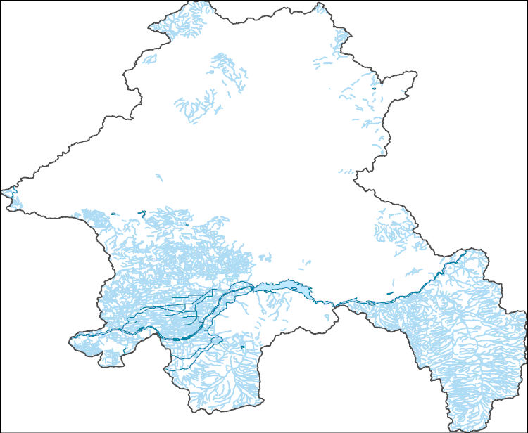
The Watershed Boundary Dataset (WBD) is a comprehensive aggregated collection of hydrologic unit data consistent with the national criteria for delineation and resolution. It defines the areal extent of surface water drainage to a point except in coastal or lake front areas where there could be multiple outlets as stated by the "Federal Standards and Procedures for the National Watershed Boundary Dataset (WBD)" "Standard" (https://pubs.usgs.gov/tm/11/a3/). Watershed boundaries are determined solely upon science-based hydrologic principles, not favoring any administrative boundaries or special projects, nor particular program or agency. This dataset represents the hydrologic unit boundaries to the 12-digit (6th level)...
Layers of geospatial data include contours, boundaries, land cover, hydrography, roads, transportation, geographic names, structures, and other selected map features.
To address climate change and other are sustainability imperatives, the private sector has launched various initiatives that are aimed to evaluate and reduce the impact throughout the life cycle of consumer products. Recently, multi-national retailers and manufacturers have initiated a unified approach in creating sustainable indexing programs for the products they make and sell. Often overlooked in addressing pressing sustainability imperatives such as climate change are the consumptive patterns and impact of consumer goods during the consumer use phase. This article presents an empirical study of the consumer use phase of laundry care with a specific focus on electricity consumption and carbon dioxide emissions....
To address climate change and other are sustainability imperatives, the private sector has launched various initiatives that are aimed to evaluate and reduce the impact throughout the life cycle of consumer products. Recently, multi-national retailers and manufacturers have initiated a unified approach in creating sustainable indexing programs for the products they make and sell. Often overlooked in addressing pressing sustainability imperatives such as climate change are the consumptive patterns and impact of consumer goods during the consumer use phase. This article presents an empirical study of the consumer use phase of laundry care with a specific focus on electricity consumption and carbon dioxide emissions....
A visual impact evaluation method specifically designed to assess landscape alteration as a result of surface mining and quarrying would represent a fundamental aid for both those involved in the early stages of mine planning and design (mining companies) and those in charge of controlling and verifying environmental impacts (government authorities). This research is based on implementation of the visual impact indicator Lvi, which takes into account two parameters among those physically measurable: the extent of visible alteration in the landscape and the chromatic contrast between bare rock and the surrounding environment. Both parameters can be quantified by processing one or more digital images taken from the...
Categories: Publication;
Types: Citation;
Tags: Power,
attitudes,
comparative,
initiative,
moratorium,
Federal policymakers must not neglect to rationalize the allocation of jurisdiction between federal and state regulators, remove impediments to the expansion of the interstate transmission grid, and support the development of demand-side responsiveness to market pricing.
Categories: Publication;
Types: Citation;
Tags: Well-functioning,
balanced,
integration,
markets,
power,
|

|
