Filters: Tags: U.S. Geological Survey (X) > Date Range: {"choice":"year"} (X) > Types: Citation (X)
26 results (47ms)|
Filters
Date Types (for Date Range)
Types
Contacts
Categories Tag Types Tag Schemes |
This dataset includes swell-filtered, high-resolution seismic-reflection data jointly collected by the U.S. Geological Survey (USGS) and Oregon State University in 2010, between Shelter Cove and Fort Bragg in northern California.
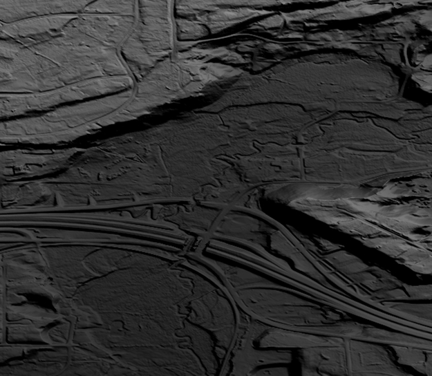
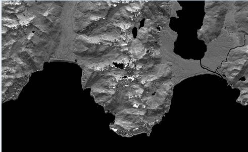
This is a tiled collection of the 3D Elevation Program (3DEP) and is 1/9 arc-second (approximately 3 m) resolution.The 3DEP data holdings serve as the elevation layer of The National Map, and provide foundational elevation information for earth science studies and mapping applications in the United States. Scientists and resource managers use 3DEP data for hydrologic modeling, resource monitoring, mapping and visualization, and many other applications. The elevations in this DEM represent the topographic bare-earth surface. The seamless 1/9 arc-second DEM layers are derived from diverse source data that are processed to a common coordinate system and unit of vertical measure. These data are distributed in geographic...
This data release presents data for 5-m resolution multibeam-bathymetry and acoustic-backscatter data of the northern Channel Islands region, southern California. In 2004 the U.S. Geological Survey, Pacific Coastal and Marine Science Center collected multibeam-bathymetry and acoustic-backscatter data in the northern Channel Islands region, southern California. The region was mapped aboard the R/V Ewing using a Kongsberg Simrad EM-1002 multibeam echosounder. These data were previously published on-line at http://pubs.usgs.gov/of/2005/1153/. In this data release the data have been reprocessed to a finer spatial resolution (5-m versus 15-m) using more modern processing techniques. Due to the large file sizes the entire...
Categories: Data;
Types: Citation,
Map Service,
OGC WFS Layer,
OGC WMS Layer,
OGC WMS Service;
Tags: Backscatter (sea floor),
Bathymetry,
Bathymetry,
CMG,
CMGP,
Here we present surface current results from a physics-based, 3-dimensional coupled ocean-atmosphere numerical model that was generated to understand coral larval dispersal patterns in Maui Nui, Hawaii, USA. The model was used to simulate coral larval dispersal patterns from a number of existing State-managed reefs and large tracks of reefs with high coral coverage that might be good candidates for marine-protected areas (MPAs) during 8 spawning events during 2010-2013. The goal of this effort is to provide geophysical data to help provide guidance to sustain coral health in Maui Nui, Hawaii, USA. Each model output run is available as a netCDF file with self-contained attribute information. Each file name is appended...
Categories: Data;
Types: Citation,
Map Service,
NetCDF OPeNDAP Service,
OGC WFS Layer,
OGC WMS Layer,
OGC WMS Service;
Tags: CMGP,
Coastal and Marine Geology Program,
Geophysics,
Hawaii,
Kahoolawe,
In February 2016 the University of Washington in cooperation with the U.S. Geological Survey, Pacific Coastal and Marine Science Center (USGS, PCMSC) collected multibeam bathymetry and acoustic-backscatter data in and near the Catalina Basin, southern California aboard the University of Washington's Research Vessel Thomas G. Thompson. Data was collected using a Kongsberg EM300 multibeam echosounder hull-mounted to the 274-foot R/V Thomas G. Thompson. The USGS, PCMSC processed these data and produced a series of bathymetric surfaces and acoustic-backscatter images for scientific research purposes. This data release provides a 10-m resolution bathymetry surface and a 10-m resolution acoustic backscatter image. In...
Categories: Data;
Types: Citation;
Tags: Bathymetry,
Bathymetry,
Bathymetry and Elevation,
CMGP,
Catalina Basin,
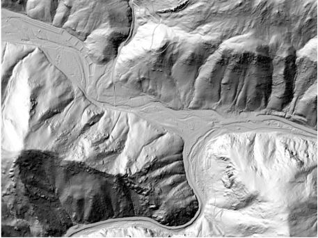
These data are Digital Surface Models (DSM) derived from interferometric synthetic aperture radar (ifsar) data. A DSM is a 3 dimensional representation of surface elevations in an area, including elevations of man-made structures and vegetation. The USGS performs minimal quality assurance and no reprocessing of the DSM data. USGS distributes the DSM data as received from the contractors, partners or contributing entities.
Types: Citation;
Tags: Cartography,
DSM,
Digital Mapping,
Digital Surface Model,
Digital Terrain Model,

This is a tiled collection of the 3D Elevation Program (3DEP) and is 1 arc-second (approximately 30 m) resolution. The elevations in this Digital Elevation Model (DEM) represent the topographic bare-earth surface. The 3DEP data holdings serve as the elevation layer of The National Map, and provide foundational elevation information for earth science studies and mapping applications in the United States. Scientists and resource managers use 3DEP data for hydrologic modeling, resource monitoring, mapping and visualization, and many other applications.. The seamless 1 arc-second DEM layers are derived from diverse source data that are processed to a common coordinate system and unit of vertical measure. These data...
Types: Citation,
Map Service,
OGC WFS Layer,
OGC WMS Layer,
OGC WMS Service;
Tags: 1-Degree DEM,
3D Elevation Program,
3DEP,
Bare Earth,
Cartography,

This is a tiled collection of the 3D Elevation Program (3DEP) and is 2 arc-second (approximately 60 m) resolution covering Alaska. The elevations in this Digital Elevation Model (DEM) represent the topographic bare-earth surface. The 3DEP data holdings serve as the elevation layer of The National Map, and provide foundational elevation information for earth science studies and mapping applications in the United States. Scientists and resource managers use 3DEP data for hydrologic modeling, resource monitoring, mapping and visualization, and many other applications. The seamless 2 arc-second DEM layers are derived from diverse source data that are processed to a common coordinate system and unit of vertical measure....
Types: Citation,
Map Service,
OGC WFS Layer,
OGC WMS Layer,
OGC WMS Service;
Tags: 1-degree DEM,
2 arc-second DEM,
3DEP,
Bare Earth,
Cartography,
A process-based wave-resolving hydrodynamic model (XBeach Non-Hydrostatic, ‘XBNH’) was used to create a large synthetic database for use in a “Bayesian Estimator for Wave Attack in Reef Environments” (BEWARE), relating incident hydrodynamics and coral reef geomorphology to coastal flooding hazards on reef-lined coasts. Building on previous work, BEWARE improves system understanding of reef hydrodynamics by examining the intrinsic reef and extrinsic forcing factors controlling runup and flooding on reef-lined coasts. The Bayesian estimator has high predictive skill for the XBNH model outputs that are flooding indicators, and was validated for a number of available field cases. BEWARE is a potentially powerful tool...
Categories: Data;
Types: Citation,
NetCDF OPeNDAP Service;
Tags: CMGP,
Coastal and Marine Geology Program,
Geomorphology,
Geophysics,
PCMSC,
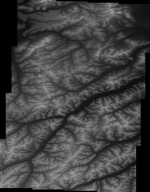
This is a tiled collection of the 3D Elevation Program (3DEP) and is one meter resolution. The 3DEP data holdings serve as the elevation layer of The National Map, and provide foundational elevation information for earth science studies and mapping applications in the United States. Scientists and resource managers use 3DEP data for hydrologic modeling, resource monitoring, mapping and visualization, and many other applications. The elevations in this DEM represent the topographic bare-earth surface. USGS standard one-meter DEMs are produced exclusively from high resolution light detection and ranging (lidar) source data of one-meter or higher resolution. One-meter DEM surfaces are seamless within collection projects,...
Data were collected by the U.S. Geological Survey (USGS) Pacific Coastal and Marine Science Center to investigate the influence of wind waves on sediment dynamics in two flooded agricultural tracts in the northern Sacramento-San Joaquin Delta: Little Holland Tract and Liberty Island. This effort is part of a large interdisciplinary study led by the USGS California Water Science Center and funded by the U.S. Bureau of Reclamation to investigate how shallow-water habitats in the Sacramento-San Joaquin Delta function and whether they provide good habitat for native fish species, including the Delta smelt. Elevated turbidity is a requirement for Delta smelt habitat, and turbidity is largely comprised of suspended sediment....
Categories: Data,
Data Release - Revised;
Types: Citation;
Tags: Average Burst Pressure,
CMG,
CMGP,
CONDUCTIVITY,
CTD > CONDUCTIVITY, TEMPERATURE, DEPTH,
This data release provides the U.S. Geological Survey (USGS), Pacific Coastal and Marine Science Center (PCMSC) 2004, 2005, 2007, and 2010 bathymetry data that was collected in Skagit Bay, Washington as well as a merged 2005-2010 bathymetry grid. Also, this data release provides the acoustic-backscatter as a merged 2005-2010 backscatter image. All bathymetry grids are provided at 1-m spatial resolution, while the acoustic-backscatter image is provided at 5-m resolution. All files have accompanying FGDC metadata. In 2004, 2005, 2007, and 2010 the USGS, PCMSC collected bathymetry and acoustic backscatter data in Skagit Bay, Washington using an interferometric bathymetric sidescan sonar system mounded to the USGS R/V...
Categories: Data;
Types: Citation;
Tags: Bathymetry,
Bathymetry,
Bathymetry and Elevation,
CMGP,
Coastal and Marine Geology Program,
5 Meter Alaska Digital Elevation Models (DEMs) - USGS National Map 3DEP Downloadable Data Collection
This is a tiled collection of the 3D Elevation Program (3DEP) covering Alaska only, and is 5-meter resolution. The 3DEP data holdings serve as the elevation layer of The National Map, and provide foundational elevation information for earth science studies and mapping applications in the United States. Scientists and resource managers use 3DEP data for hydrologic modeling, resource monitoring, mapping and visualization, and many other applications. The elevations in this DEM represent the topographic bare-earth surface. USGS standard 5-meter DEMs are produced exclusively from interferometric synthetic aperture radar (Ifsar) source data of 5-meter or higher resolution. Five-meter DEM surfaces are seamless within...
These data are orthorectified radar intensity images (ORI) derived from interferometric synthetic aperture radar (ifsar) data. An ORI is a high-resolution image derived from ifsar which has geometric distortions removed. Unlike optical imagery, ifsar can be collected in cloudy conditions. The USGS performs minimal quality assurance and no reprocessing of the ORI data. USGS distributes the ORI data as received from the contractors, partners or contributing entities.
These data are high-resolution bathymetry (riverbed elevation) and depth-averaged velocities in ASCII format, generated from hydrographic and velocimetric surveys near highway bridge structures over the Missouri and Mississippi Rivers near St. Louis, Missouri, for dates ranging from 2008 to 2016. Hydrographic data were collected using a high-resolution multibeam echosounder mapping system (MBMS), which consists of a multibeam echosounder (MBES) and an inertial navigation system (INS) mounted on a marine survey vessel. Data were collected as the vessel traversed the river along planned survey lines distributed throughout the reach. Data collection software integrated and stored the depth data from the MBES and the...
The ViTexOCR script presents a new method for extracting navigation data from videos with text overlays using optical character recognition (OCR) software. Over the past few decades, it was common for videos recorded during surveys to be overlaid with real-time geographic positioning satellite chyrons including latitude, longitude, date and time, as well as other ancillary data (such as speed, heading, or user input identifying fields). Embedding these data into videos provides them with utility and accuracy, but using the location data for other purposes, such as analysis in a geographic information system, is not possible when only available on the video display. Extracting the text data from imagery using software...
Categories: Software;
Types: Citation,
Downloadable;
Tags: CMGP,
Coastal and Marine Geology Program,
PCMSC,
Pacific Coastal and Marine Science Center,
Remote Sensing,

This data collection is the Original Product Resolution (OPR) Digital Elevation Model (DEM) as provided to the USGS. This source DEM is delivered in the original resolution, units and horizontal and vertical spatial references. These data may be used as the source of updates to the 3D Elevation Program (3DEP), which serves as the elevation layer of the National Map.
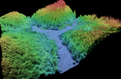
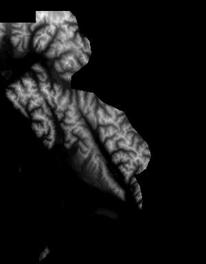
This data collection of the 3D Elevation Program (3DEP) consists of Lidar Point Cloud (LPC) projects as provided to the USGS. These point cloud files contain all the original lidar points collected, with the original spatial reference and units preserved. These data may have been used as the source of updates to the 1/3-arcsecond, 1-arcsecond, and 2-arcsecond seamless 3DEP Digital Elevation Models (DEMs). The 3DEP data holdings serve as the elevation layer of The National Map, and provide foundational elevation information for earth science studies and mapping applications in the United States. Lidar (Light detection and ranging) discrete-return point cloud data are available in LAZ format. The LAZ format is a lossless...
First release: 2016 Revised: 2019 Isotopic analyses of authigenic carbonates and methanotrophic deep-sea mussels, Bathymodiolus sp., was performed on samples collected from seep fields in the Baltimore and Norfolk Canyons on the north Atlantic margin. Samples were collected using remotely operated underwater vehicles (ROVs) during three different research cruises in 2012, 2013, and 2015. Analyses were performed by several different laboratories, and the results are presented in spreadsheet format.
Categories: Data;
Types: Citation;
Tags: Atlantic Ocean,
Baltimore Canyon,
CMHRP,
Coastal/Marine Hazards and Resources,
Ecological Functions and Services,
First Release: Aug 2017 Revised: May 2018 (ver. 1.1) Time-series data of velocity, pressure, turbidity, conductivity, and temperature were collected near the mouth of the Elwha River, Washington, USA, from December 2010 through October 2014, for the Department of Interior’s Elwha River Restoration project. As part of this project, the U.S. Geological Survey studied the effects of renewed sediment supplies on the coastal ecosystems before, during, and following the removal of two dams, Elwha and Glines Canyon, from the Elwha River. Removal of the dams reintroduced sediment stored in the reservoirs to the river, and the river moved much of this sediment to the coast. Several benthic tripods were instrumented with...
Categories: Data,
Data Release - Revised;
Types: Citation;
Tags: CMGP,
CONDUCTIVITY,
CTD,
CTD measurement,
CURRENT METERS,
|

|
